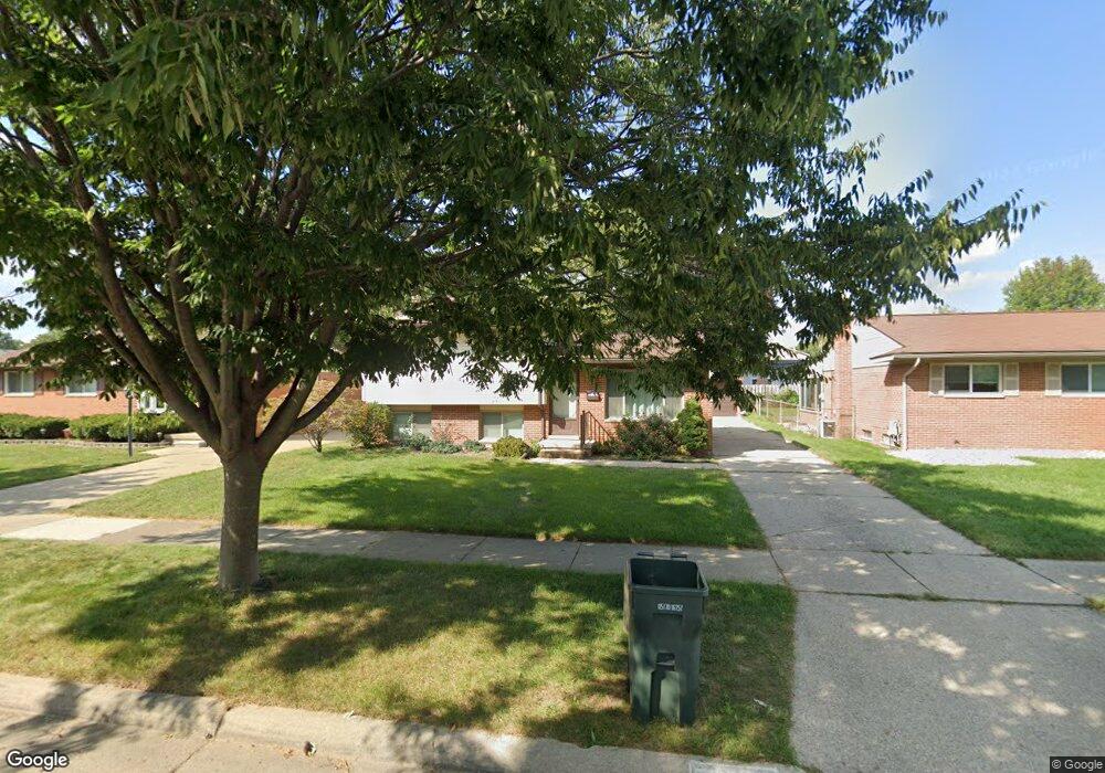
39728 Peters Dr Unit Bldg-Unit Canton, MI 48187
Estimated Value: $311,051 - $329,000
--
Bed
2
Baths
1,444
Sq Ft
$222/Sq Ft
Est. Value
About This Home
This home is located at 39728 Peters Dr Unit Bldg-Unit, Canton, MI 48187 and is currently estimated at $320,013, approximately $221 per square foot. 39728 Peters Dr Unit Bldg-Unit is a home located in Wayne County with nearby schools including Canton High School, East Middle School, and Salem High School.
Ownership History
Date
Name
Owned For
Owner Type
Purchase Details
Closed on
Jul 29, 2020
Sold by
Antonie Paul Octavian
Bought by
Quick Michael and Robinson Quick Kelli
Current Estimated Value
Purchase Details
Closed on
Jan 5, 2018
Sold by
Boyd Betty and Boyd Betty J
Bought by
Antonie Paul Octavian
Home Financials for this Owner
Home Financials are based on the most recent Mortgage that was taken out on this home.
Original Mortgage
$13,545,400
Interest Rate
3.93%
Mortgage Type
New Conventional
Create a Home Valuation Report for This Property
The Home Valuation Report is an in-depth analysis detailing your home's value as well as a comparison with similar homes in the area
Home Values in the Area
Average Home Value in this Area
Purchase History
| Date | Buyer | Sale Price | Title Company |
|---|---|---|---|
| Quick Michael | $214,000 | Select Title Company | |
| Antonie Paul Octavian | $170,000 | Coretitle Llc |
Source: Public Records
Mortgage History
| Date | Status | Borrower | Loan Amount |
|---|---|---|---|
| Previous Owner | Antonie Paul Octavian | $13,545,400 |
Source: Public Records
Tax History Compared to Growth
Tax History
| Year | Tax Paid | Tax Assessment Tax Assessment Total Assessment is a certain percentage of the fair market value that is determined by local assessors to be the total taxable value of land and additions on the property. | Land | Improvement |
|---|---|---|---|---|
| 2025 | $1,868 | $132,900 | $0 | $0 |
| 2024 | $1,868 | $120,800 | $0 | $0 |
| 2023 | $1,780 | $110,300 | $0 | $0 |
| 2022 | $3,924 | $99,600 | $0 | $0 |
| 2021 | $3,807 | $90,900 | $0 | $0 |
| 2020 | $3,267 | $87,700 | $0 | $0 |
| 2019 | $3,207 | $75,910 | $0 | $0 |
| 2018 | $1,048 | $75,240 | $0 | $0 |
| 2017 | $2,715 | $72,400 | $0 | $0 |
| 2016 | $2,375 | $69,400 | $0 | $0 |
| 2015 | $5,758 | $63,950 | $0 | $0 |
| 2013 | $5,580 | $58,130 | $0 | $0 |
| 2010 | -- | $64,830 | $28,401 | $36,429 |
Source: Public Records
Map
Nearby Homes
- 8231 Holly Dr
- 8364 Holly Dr
- 7655 Koppernick Rd
- The Chelsea Plan at Walton Oaks
- The Superior Plan at Walton Oaks
- The St. Clair Plan at Walton Oaks
- 38671 Belliveau St
- 39122 Dover St
- 40105 Newport Dr Unit 358
- 9215 Westbury Ave
- 40504 Newport Dr
- 40584 Newport Ct
- 40643 Newport Dr Unit 273
- 40526 Newport Dr Unit 99
- 000 Commerce Blvd
- 00 Commerce Blvd
- 38489 Sycamore Ct Unit 89
- 8894 Knolson Ave
- 38508 Alma Ln
- 40699 Newport Dr Unit 256
- 39728 Peters Dr
- 39742 Peters Dr
- 39710 Peters Dr
- 8231 Alton St
- 39756 Peters Dr
- 8243 Alton St
- 8234 Holly Dr
- 39731 Peters Dr
- 39717 Peters Dr
- 39772 Peters Dr
- 39745 Peters Dr
- 8255 Alton St
- 39703 Peters Dr
- 8246 Holly Dr
- 39759 Peters Dr
- 8208 Alton St
- 8220 Alton St
- 39675 Peters Dr
- 8258 Holly Dr
- 8232 Alton St