Estimated Value: $339,000 - $437,000
3
Beds
2
Baths
1,752
Sq Ft
$215/Sq Ft
Est. Value
About This Home
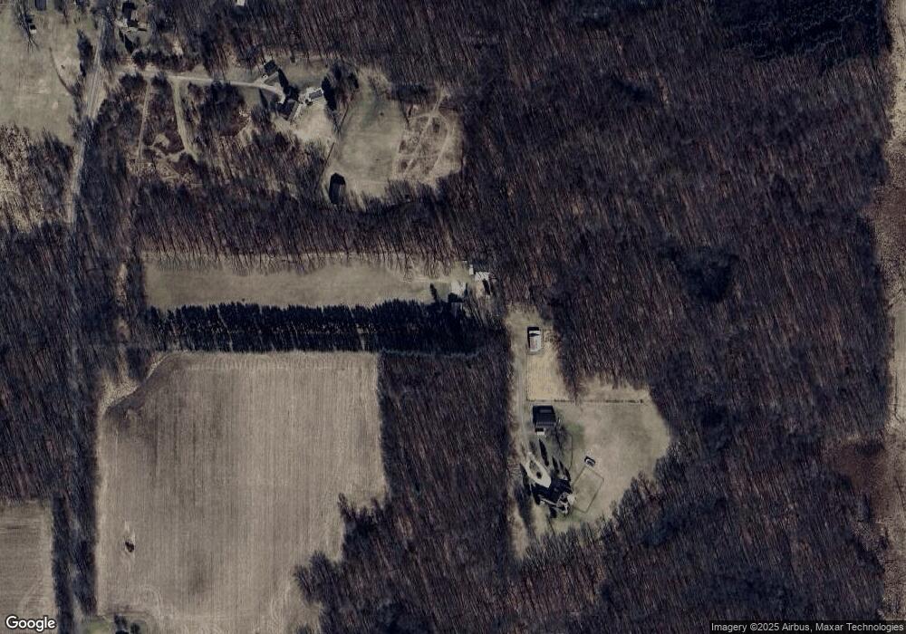
This home is located at 3975 N Sandstone Rd, Parma, MI 49269 and is currently estimated at $375,976, approximately $214 per square foot. 3975 N Sandstone Rd is a home located in Jackson County with nearby schools including Northwest Early Elementary School, Northwest Elementary School, and Northwest Middle School.
Ownership History
Date
Name
Owned For
Owner Type
Purchase Details
Closed on
Sep 19, 2019
Sold by
Epstein Andrew D
Bought by
Epstein Andrew D and Andrew D Epstein Revocable Trust
Current Estimated Value
Purchase Details
Closed on
Oct 15, 2007
Sold by
Epstein Andrew D
Bought by
Epstein Andrew D and Andrew D Epstein Revocable Trust
Purchase Details
Closed on
Apr 19, 2007
Sold by
Epstein Michelle M
Bought by
Epstein Andrew D
Home Financials for this Owner
Home Financials are based on the most recent Mortgage that was taken out on this home.
Original Mortgage
$200,000
Outstanding Balance
$121,125
Interest Rate
6.18%
Mortgage Type
Stand Alone Refi Refinance Of Original Loan
Estimated Equity
$254,851
Purchase Details
Closed on
Dec 31, 1998
Sold by
Epstein Andrew D
Bought by
Epstein Andrew D and Epstein Michelle M
Create a Home Valuation Report for This Property
The Home Valuation Report is an in-depth analysis detailing your home's value as well as a comparison with similar homes in the area
Home Values in the Area
Average Home Value in this Area
Purchase History
| Date | Buyer | Sale Price | Title Company |
|---|---|---|---|
| Epstein Andrew D | -- | None Available | |
| Epstein Andrew D | -- | None Available | |
| Epstein Andrew D | -- | Mst | |
| Epstein Andrew D | -- | -- |
Source: Public Records
Mortgage History
| Date | Status | Borrower | Loan Amount |
|---|---|---|---|
| Open | Epstein Andrew D | $200,000 |
Source: Public Records
Tax History Compared to Growth
Tax History
| Year | Tax Paid | Tax Assessment Tax Assessment Total Assessment is a certain percentage of the fair market value that is determined by local assessors to be the total taxable value of land and additions on the property. | Land | Improvement |
|---|---|---|---|---|
| 2025 | $3,167 | $170,800 | $0 | $0 |
| 2024 | $1,558 | $172,400 | $0 | $0 |
| 2023 | $1,484 | $151,100 | $0 | $0 |
| 2022 | $2,872 | $124,500 | $0 | $0 |
| 2021 | $4,423 | $118,600 | $0 | $0 |
| 2020 | $3,829 | $101,800 | $0 | $0 |
| 2019 | $2,392 | $96,000 | $0 | $0 |
| 2018 | $2,364 | $96,700 | $0 | $0 |
| 2017 | $2,228 | $89,800 | $0 | $0 |
| 2016 | $2,129 | $90,536 | $90,536 | $0 |
| 2015 | $2,129 | $90,867 | $90,867 | $0 |
| 2014 | $2,129 | $95,604 | $0 | $0 |
| 2013 | -- | $95,604 | $95,604 | $0 |
Source: Public Records
Map
Nearby Homes
- 4350 Bailey Rd
- 4209 N Dearing Rd
- 6750 County Farm Rd
- 3573 N Dearing Rd
- 6631 Springport Rd
- 6653 Springport Rd
- 5101 Bennett Rd
- 6990 Cuff Rd
- 2431 N Dearing Rd
- 00 Leora Ln
- 7969 Springport Rd
- 1001 N Dearing Rd
- 0 Cummings Rd
- 2001 N Harrington Rd
- 4028 Marie Ct
- 7165 Clinton Rd
- 6718 Clinton Rd
- 3145 Fawn Ln
- 6232 Burning Tree St
- 4849 Indian Creek Dr Unit 6
- 4255 N Sandstone Rd
- 4255 N Sandstone Rd
- 3945 N Sandstone Rd
- 4262 N Sandstone Rd
- 3751 N Sandstone Rd
- 3751 N Sandstone Rd
- 4261 N Sandstone Rd
- 0 N Sandstone Rd Unit 20002357
- 0 N Sandstone Rd Unit 20004737
- 0 N Sandstone Rd Unit 21044723
- 4301 N Sandstone Rd
- 4301 N Sandstone Rd
- 4380 N Sandstone Rd
- 4350 N Sandstone Rd
- 4400 N Sandstone Rd
- 4450 N Sandstone Rd
- 0 N Sandstone Rd Unit 543290601
- 0 N Sandstone Rd Unit 55021036765
- 0 N Sandstone Rd Unit 3290601
- 0 N Sandstone Rd Unit M21036765
