39756 State Route 303 Lagrange, OH 44050
Estimated Value: $399,000 - $454,000
3
Beds
2
Baths
1,924
Sq Ft
$224/Sq Ft
Est. Value
About This Home
This home is located at 39756 State Route 303, Lagrange, OH 44050 and is currently estimated at $431,362, approximately $224 per square foot. 39756 State Route 303 is a home located in Lorain County with nearby schools including Keystone Elementary School, Keystone Middle School, and Keystone High School.
Ownership History
Date
Name
Owned For
Owner Type
Purchase Details
Closed on
Aug 10, 2001
Sold by
David Development Inc
Bought by
Norton Jerry P and Norton Michelle R
Current Estimated Value
Home Financials for this Owner
Home Financials are based on the most recent Mortgage that was taken out on this home.
Original Mortgage
$199,200
Outstanding Balance
$82,270
Interest Rate
7.11%
Mortgage Type
Purchase Money Mortgage
Estimated Equity
$349,092
Purchase Details
Closed on
Oct 23, 2000
Sold by
Smith Calvin W
Bought by
David Development Inc
Create a Home Valuation Report for This Property
The Home Valuation Report is an in-depth analysis detailing your home's value as well as a comparison with similar homes in the area
Home Values in the Area
Average Home Value in this Area
Purchase History
| Date | Buyer | Sale Price | Title Company |
|---|---|---|---|
| Norton Jerry P | $48,900 | Lorain County Title Co Inc | |
| David Development Inc | -- | -- |
Source: Public Records
Mortgage History
| Date | Status | Borrower | Loan Amount |
|---|---|---|---|
| Open | Norton Jerry P | $199,200 |
Source: Public Records
Tax History
| Year | Tax Paid | Tax Assessment Tax Assessment Total Assessment is a certain percentage of the fair market value that is determined by local assessors to be the total taxable value of land and additions on the property. | Land | Improvement |
|---|---|---|---|---|
| 2024 | $5,270 | $128,443 | $26,261 | $102,183 |
| 2023 | $5,538 | $112,984 | $23,608 | $89,376 |
| 2022 | $5,498 | $112,984 | $23,608 | $89,376 |
| 2021 | $5,499 | $112,984 | $23,608 | $89,376 |
| 2020 | $5,047 | $92,460 | $19,320 | $73,140 |
| 2019 | $5,016 | $92,460 | $19,320 | $73,140 |
| 2018 | $4,575 | $92,460 | $19,320 | $73,140 |
| 2017 | $4,255 | $75,330 | $18,650 | $56,680 |
| 2016 | $4,225 | $75,330 | $18,650 | $56,680 |
| 2015 | $4,218 | $75,330 | $18,650 | $56,680 |
| 2014 | $3,686 | $75,330 | $18,650 | $56,680 |
| 2013 | $3,571 | $75,330 | $18,650 | $56,680 |
Source: Public Records
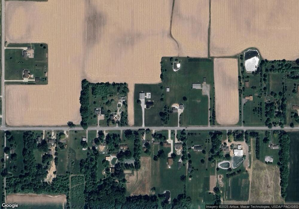
Map
Nearby Homes
- 0 Dill Ct Unit 5072837
- 801 Willich Ct
- 548 William St
- 516 Appomattox Ct
- 800 Buckingham Dr
- 808 Buckingham Dr
- 40260 Whitney Rd
- 317 Church St
- 110 Railroad St
- 567 Vicksburg Ct
- 829 Robinson Dr
- 340 Granger Dr
- 305 W Main St
- 1033 Parsons Rd Unit 11
- 40175 Banks Rd
- 697 Main St
- 42113 Meadow Ln
- 551 N Main St
- 40163 Banks Rd
- 779 Huron St
- 39798 State Route 303
- 39680 State Route 303
- 39737 State Route 303
- 39715 State Route 303
- 39775 State Route 303
- 39667 Ohio 303
- 39872 State Route 303
- 39807 State Route 303
- 39691 State Route 303
- 39829 State Route 303
- 39667 State Route 303
- 39851 State Route 303
- 39591 State Route 303
- 39915 State Route 303
- 39631 State Route 303
- 39893 State Route 303
- 39937 State Route 303
- 17757 Wheeler Rd
- 39492 State Route 303
- 39493 State Route 303
Your Personal Tour Guide
Ask me questions while you tour the home.