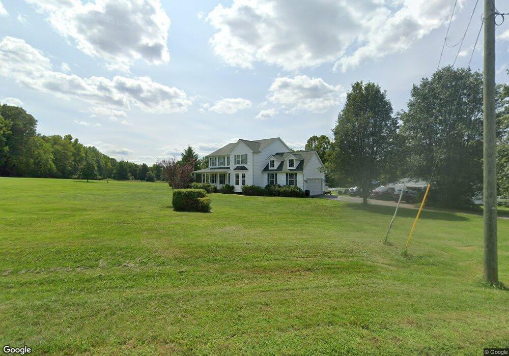
3978 Dock Side Ct King George, VA 22485
Estimated Value: $661,343 - $838,000
4
Beds
4
Baths
2,680
Sq Ft
$289/Sq Ft
Est. Value
About This Home
This home is located at 3978 Dock Side Ct, King George, VA 22485 and is currently estimated at $774,086, approximately $288 per square foot. 3978 Dock Side Ct is a home located in King George County with nearby schools including Potomac Elementary School, King George Middle School, and King George High School.
Ownership History
Date
Name
Owned For
Owner Type
Purchase Details
Closed on
Mar 19, 2025
Sold by
Griffin-Johnson Linda and Griffin-Johnson E L
Bought by
Johnson Walter D
Current Estimated Value
Home Financials for this Owner
Home Financials are based on the most recent Mortgage that was taken out on this home.
Original Mortgage
$200,000
Outstanding Balance
$195,836
Interest Rate
6.04%
Mortgage Type
New Conventional
Estimated Equity
$578,250
Purchase Details
Closed on
Nov 19, 2010
Sold by
Myers Bradley
Bought by
Johnson Walter D
Home Financials for this Owner
Home Financials are based on the most recent Mortgage that was taken out on this home.
Original Mortgage
$384,817
Interest Rate
4.37%
Mortgage Type
FHA
Purchase Details
Closed on
Sep 25, 2002
Sold by
Bynum Kris Steele
Bought by
Myers Bradley
Create a Home Valuation Report for This Property
The Home Valuation Report is an in-depth analysis detailing your home's value as well as a comparison with similar homes in the area
Purchase History
| Date | Buyer | Sale Price | Title Company |
|---|---|---|---|
| Johnson Walter D | -- | Navy Federal Title | |
| Johnson Walter D | $390,000 | -- | |
| Myers Bradley | $69,900 | -- |
Source: Public Records
Mortgage History
| Date | Status | Borrower | Loan Amount |
|---|---|---|---|
| Open | Johnson Walter D | $200,000 | |
| Previous Owner | Johnson Walter D | $384,817 |
Source: Public Records
Tax History
| Year | Tax Paid | Tax Assessment Tax Assessment Total Assessment is a certain percentage of the fair market value that is determined by local assessors to be the total taxable value of land and additions on the property. | Land | Improvement |
|---|---|---|---|---|
| 2025 | $4,156 | $611,200 | $133,200 | $478,000 |
| 2024 | $4,156 | $611,200 | $133,200 | $478,000 |
| 2023 | $4,143 | $609,200 | $133,200 | $476,000 |
| 2022 | $3,899 | $609,200 | $133,200 | $476,000 |
| 2021 | $2,957 | $405,100 | $114,500 | $290,600 |
| 2020 | $2,836 | $405,100 | $114,500 | $290,600 |
| 2019 | $2,836 | $405,100 | $114,500 | $290,600 |
| 2018 | $2,836 | $405,100 | $114,500 | $290,600 |
| 2017 | $2,766 | $395,100 | $114,500 | $280,600 |
| 2016 | $2,687 | $395,100 | $114,500 | $280,600 |
| 2015 | -- | $395,100 | $114,500 | $280,600 |
| 2014 | -- | $395,100 | $114,500 | $280,600 |
Source: Public Records
Map
Nearby Homes
- 13467 Ellis Way
- 14200 Hilton Ln
- 14130 Chotank Loop
- 5229 Windsor Dr
- 0 Wellington Dr
- 13380 Union Dr
- Lot 7 Arthur Rd
- 0 University Dr
- 16186 Bundock Rd
- 5177 Mallards Landing Dr
- 5180 Heritage Dr
- 0 James Madison Pkwy Unit VAKG2006144
- 0 James Madison Pkwy Unit VAKG118976
- 6826 Anderson Ct
- Lot 1 Woodstock Rd
- 1324 Woodstock Rd
- 17140 12th St
- 17141 Leeward Ct
- 0 Mathias Point Rd Unit VAKG2007058
- 8061 James Madison Pkwy
- 3968 Edwards Dr
- 3973 Tranquility Ln
- 3936 Edwards Dr
- 4110 Edwards Dr
- 3979 Tranquility Ln
- 3916 Tranquility Ln
- 14173 Castle Ct
- 4131 Deep Cove Landing
- 3910 Edwards Dr
- 14241 Castle Ct
- 4142 Edwards Dr
- 3851 Dock Side Ct
- 3984 Tranquility Ln
- 3874 Edwards Dr
- 14357 Castle Ct
- 0 Deep Cove Landing Unit 1006864382
- 0 Deep Cove Landing Unit VAKG118514
- 0 Deep Cove Landing Unit 1004569688
- 0 Deep Cove Landing Unit 1004569680
- 0 Deep Cove Landing Unit 1004569650
Your Personal Tour Guide
Ask me questions while you tour the home.