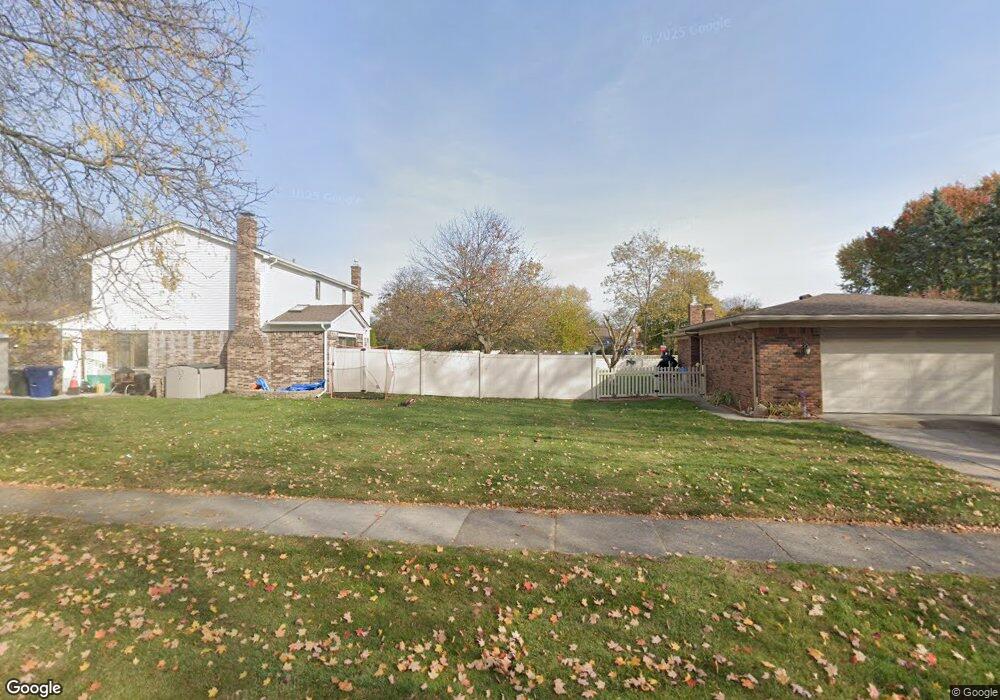
39787 Edmunton St Canton, MI 48187
Estimated Value: $300,000 - $335,000
--
Bed
1
Bath
1,259
Sq Ft
$250/Sq Ft
Est. Value
About This Home
This home is located at 39787 Edmunton St, Canton, MI 48187 and is currently estimated at $315,015, approximately $250 per square foot. 39787 Edmunton St is a home located in Wayne County with nearby schools including Canton High School, East Middle School, and Salem High School.
Ownership History
Date
Name
Owned For
Owner Type
Purchase Details
Closed on
Aug 22, 2019
Sold by
Breach Robert J
Bought by
Ewing Vickie
Current Estimated Value
Home Financials for this Owner
Home Financials are based on the most recent Mortgage that was taken out on this home.
Original Mortgage
$187,932
Outstanding Balance
$167,965
Interest Rate
4.75%
Mortgage Type
FHA
Estimated Equity
$147,050
Purchase Details
Closed on
Feb 1, 2005
Sold by
Breach Eva Marie and Breach Arthur W
Bought by
Breach Eva Marie and Arthur W Breach & Eva Marie Breach Revoc
Create a Home Valuation Report for This Property
The Home Valuation Report is an in-depth analysis detailing your home's value as well as a comparison with similar homes in the area
Home Values in the Area
Average Home Value in this Area
Purchase History
| Date | Buyer | Sale Price | Title Company |
|---|---|---|---|
| Ewing Vickie | $191,400 | Reputation First Ttl Agcy Ll | |
| Breach Eva Marie | -- | -- |
Source: Public Records
Mortgage History
| Date | Status | Borrower | Loan Amount |
|---|---|---|---|
| Open | Ewing Vickie | $187,932 |
Source: Public Records
Tax History Compared to Growth
Tax History
| Year | Tax Paid | Tax Assessment Tax Assessment Total Assessment is a certain percentage of the fair market value that is determined by local assessors to be the total taxable value of land and additions on the property. | Land | Improvement |
|---|---|---|---|---|
| 2025 | $1,973 | $135,300 | $0 | $0 |
| 2024 | $1,973 | $122,900 | $0 | $0 |
| 2023 | $1,881 | $114,100 | $0 | $0 |
| 2022 | $4,137 | $104,300 | $0 | $0 |
| 2021 | $4,013 | $96,500 | $0 | $0 |
| 2020 | $3,965 | $94,700 | $0 | $0 |
| 2019 | $2,738 | $83,330 | $0 | $0 |
| 2018 | $1,105 | $81,580 | $0 | $0 |
| 2017 | $2,846 | $78,500 | $0 | $0 |
| 2016 | $2,495 | $75,000 | $0 | $0 |
| 2015 | $6,071 | $68,110 | $0 | $0 |
| 2013 | $5,895 | $60,200 | $0 | $0 |
| 2010 | -- | $67,100 | $28,475 | $38,625 |
Source: Public Records
Map
Nearby Homes
- 8231 Holly Dr
- 7655 Koppernick Rd
- 8364 Holly Dr
- 000 Commerce Blvd
- 00 Commerce Blvd
- The Chelsea Plan at Walton Oaks
- The Superior Plan at Walton Oaks
- The St. Clair Plan at Walton Oaks
- 219 W Fern
- 39500 Warren Rd Unit 167
- 39500 Warren Rd Unit 53
- 39500 Warren Rd Unit 98
- 38671 Belliveau St
- 40105 Newport Dr Unit 358
- 38508 Alma Ln
- 38489 Sycamore Ct Unit 89
- 39122 Dover St
- 378 E Oak
- 40504 Newport Dr
- 40643 Newport Dr Unit 273
- 39787 Edmundton Dr
- 39775 Edmunton St
- 39801 Edmunton St
- 39761 Edmunton St
- 39815 Edmundton Dr
- 39815 Edmunton St
- 39761 Edmundton St
- 39846 Lynn St
- 39832 Lynn St
- 39858 Lynn St
- 39816 Lynn St
- 39745 Edmunton St
- 39827 Edmunton St
- 39872 Lynn St
- 39780 Edmundton Dr
- 39794 Edmunton St
- 39780 Edmunton St
- 39806 Edmundton St
- 39806 Lynn St
- 39806 Edmunton St