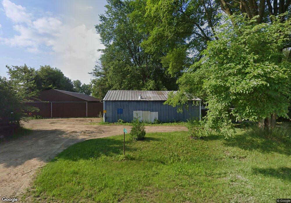
3979 Mahoney Rd Mc Farland, WI 53558
Estimated Value: $326,000 - $397,000
2
Beds
1
Bath
690
Sq Ft
$511/Sq Ft
Est. Value
About This Home
This home is located at 3979 Mahoney Rd, Mc Farland, WI 53558 and is currently estimated at $352,805, approximately $511 per square foot. 3979 Mahoney Rd is a home located in Dane County with nearby schools including 4K McFarland, Conrad Elvehjem Primary School, and Waubesa Intermediate School.
Ownership History
Date
Name
Owned For
Owner Type
Purchase Details
Closed on
Nov 29, 2013
Sold by
Landis Joseph M and Wendt Landis Kari L
Bought by
Phillips Jonathan Matthew
Current Estimated Value
Home Financials for this Owner
Home Financials are based on the most recent Mortgage that was taken out on this home.
Original Mortgage
$107,200
Outstanding Balance
$80,408
Interest Rate
4.3%
Mortgage Type
New Conventional
Estimated Equity
$272,397
Purchase Details
Closed on
Mar 21, 2007
Sold by
Klipp Debra Lynn and Guestschow Daniel Dean
Bought by
Landis Joseph M and Wendt Kari L
Home Financials for this Owner
Home Financials are based on the most recent Mortgage that was taken out on this home.
Original Mortgage
$150,300
Interest Rate
6.31%
Mortgage Type
Purchase Money Mortgage
Create a Home Valuation Report for This Property
The Home Valuation Report is an in-depth analysis detailing your home's value as well as a comparison with similar homes in the area
Home Values in the Area
Average Home Value in this Area
Purchase History
| Date | Buyer | Sale Price | Title Company |
|---|---|---|---|
| Phillips Jonathan Matthew | $165,000 | None Available | |
| Landis Joseph M | $155,000 | None Available |
Source: Public Records
Mortgage History
| Date | Status | Borrower | Loan Amount |
|---|---|---|---|
| Open | Phillips Jonathan Matthew | $107,200 | |
| Previous Owner | Landis Joseph M | $150,300 |
Source: Public Records
Tax History Compared to Growth
Tax History
| Year | Tax Paid | Tax Assessment Tax Assessment Total Assessment is a certain percentage of the fair market value that is determined by local assessors to be the total taxable value of land and additions on the property. | Land | Improvement |
|---|---|---|---|---|
| 2024 | $3,496 | $227,900 | $116,700 | $111,200 |
| 2023 | $3,283 | $227,900 | $116,700 | $111,200 |
| 2021 | $3,149 | $227,900 | $116,700 | $111,200 |
| 2020 | $3,229 | $166,100 | $91,700 | $74,400 |
| 2019 | $3,174 | $166,100 | $91,700 | $74,400 |
| 2018 | $3,097 | $166,100 | $91,700 | $74,400 |
| 2017 | $3,081 | $166,100 | $91,700 | $74,400 |
| 2016 | $3,152 | $166,100 | $91,700 | $74,400 |
| 2015 | $2,766 | $155,500 | $91,700 | $63,800 |
| 2014 | $2,771 | $155,500 | $91,700 | $63,800 |
| 2013 | $2,961 | $155,500 | $91,700 | $63,800 |
Source: Public Records
Map
Nearby Homes
- 4174 Brian St
- 4188 Oak St
- 2722 Tower Rd
- 6402 Brendan Cir
- 6207 Indian Mound Dr
- 4703 Grandview Ct
- 4707G Burma Rd Unit 107
- 4719 Burma Rd
- 5308 Dennis Dr
- 6015 Merrill St
- 5119 Farwell St
- 2828 Waubesa Ave
- 2889 Waubesa Ave
- 3524 Orvold Park Dr
- 5600 Lake Edge Rd Unit 108
- 5605 Osborn Dr
- 2288 County Road Ab
- 5625 Osborn Dr Unit 5625
- 3472 Orvold Park Dr
- 6002 Running Deer Trail
- 3985 Mahoney Rd
- 2645 Us Highway 51
- 2660 Us Highway 51
- 2671 Us Highway 51
- 4056 Mahoney Rd
- 0 Hwy 51 Unit 1524525
- 0 Hwy 51 Unit 1525974
- 0 Hwy 51 Unit 1537599
- 0 Hwy 51 Unit 1544191
- 0 Hwy 51 Unit 1564614
- 0 Hwy 51 Unit 1601622
- 0 Hwy 51 Unit 1614868
- 0 Hwy 51 Unit 1644017
- 0 Hwy 51 Unit 1672440
- 0 Hwy 51 Unit 1737845
- 2727 Us Highway 51
- 65 Acres Mahoney Rd
- 2544 Evans Rd
- 2541 Evans Rd
- 2535 Evans Rd