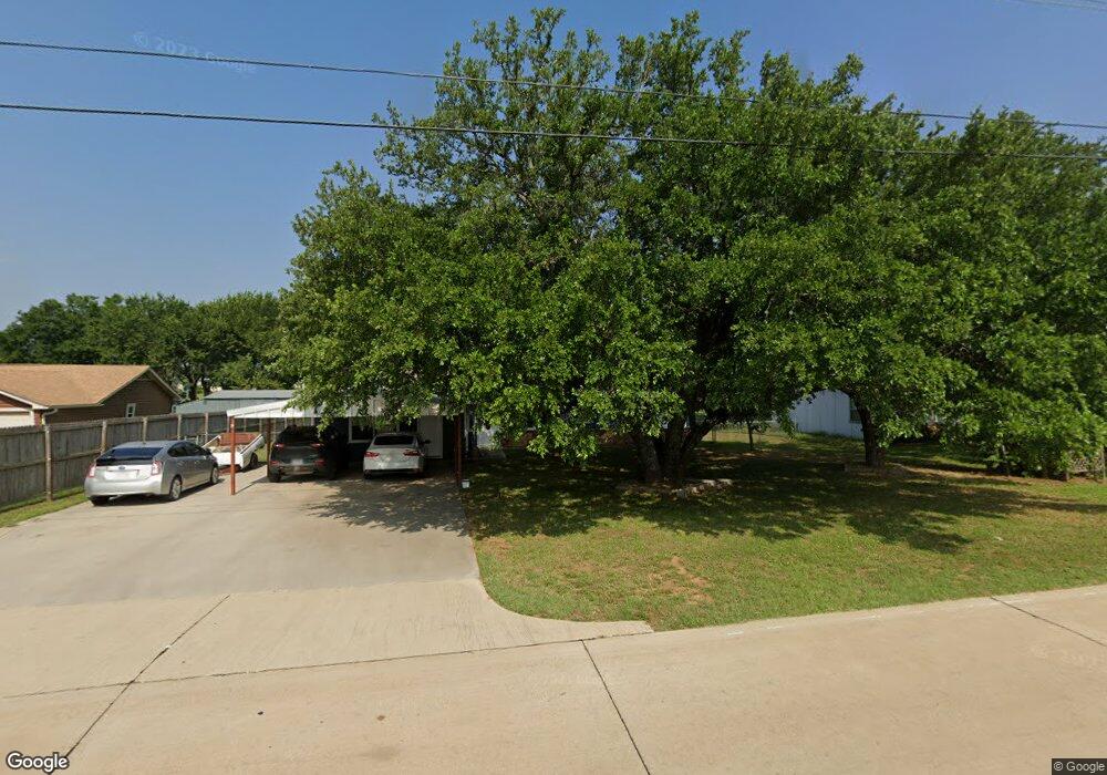
398 Buchanan Rd Decatur, TX 76234
Estimated Value: $399,815 - $522,000
--
Bed
--
Bath
2,398
Sq Ft
$188/Sq Ft
Est. Value
About This Home
This home is located at 398 Buchanan Rd, Decatur, TX 76234 and is currently estimated at $451,204, approximately $188 per square foot. 398 Buchanan Rd is a home located in Wise County with nearby schools including Decatur High School and Victory Christian Academy.
Ownership History
Date
Name
Owned For
Owner Type
Purchase Details
Closed on
Jun 20, 2022
Sold by
Pizzi Barbara J
Bought by
Pizzi Paul John
Current Estimated Value
Purchase Details
Closed on
Aug 12, 2016
Sold by
Meyer Ronald L and Meyer Janis K
Bought by
Pizzi Barbara J
Purchase Details
Closed on
Sep 17, 2007
Sold by
Hutson Craig and Hutson Karen M
Bought by
Meyer Ronald L and Meyer Janis K
Home Financials for this Owner
Home Financials are based on the most recent Mortgage that was taken out on this home.
Original Mortgage
$147,000
Interest Rate
6.63%
Mortgage Type
New Conventional
Purchase Details
Closed on
Aug 10, 2000
Sold by
Ary Aboud M
Bought by
Pizzi Barbara J
Create a Home Valuation Report for This Property
The Home Valuation Report is an in-depth analysis detailing your home's value as well as a comparison with similar homes in the area
Home Values in the Area
Average Home Value in this Area
Purchase History
| Date | Buyer | Sale Price | Title Company |
|---|---|---|---|
| Pizzi Paul John | -- | None Listed On Document | |
| Pizzi Barbara J | -- | Guardian Title Co | |
| Meyer Ronald L | -- | -- | |
| Pizzi Barbara J | -- | -- |
Source: Public Records
Mortgage History
| Date | Status | Borrower | Loan Amount |
|---|---|---|---|
| Previous Owner | Meyer Ronald L | $147,000 |
Source: Public Records
Tax History Compared to Growth
Tax History
| Year | Tax Paid | Tax Assessment Tax Assessment Total Assessment is a certain percentage of the fair market value that is determined by local assessors to be the total taxable value of land and additions on the property. | Land | Improvement |
|---|---|---|---|---|
| 2025 | $1,463 | $358,094 | $94,500 | $263,594 |
| 2024 | $1,463 | $326,399 | $0 | $0 |
| 2023 | $3,560 | $294,640 | $0 | $0 |
| 2022 | $4,114 | $268,133 | $0 | $0 |
| 2021 | $3,913 | $244,120 | $55,060 | $189,060 |
| 2020 | $3,823 | $236,960 | $51,910 | $185,050 |
| 2019 | $3,782 | $220,120 | $48,760 | $171,360 |
| 2018 | $3,813 | $214,820 | $42,460 | $172,360 |
| 2017 | $3,530 | $198,870 | $45,470 | $153,400 |
| 2016 | $3,137 | $176,730 | $39,990 | $136,740 |
| 2015 | -- | $178,250 | $39,970 | $138,280 |
| 2014 | -- | $151,450 | $22,660 | $128,790 |
Source: Public Records
Map
Nearby Homes
- 363 County Road 3198
- 4170 S Fm 51
- 3500 S Murvil St
- 1521 Old Reunion Rd
- 3200 S Fm 51
- 378 County Road 3170
- 3106 S Lipsey St
- 702 Old Reunion Rd
- 3300 S Murvil St
- 3005 S Lipsey St
- 3790 S Fm 730
- 289 County Road 4196
- 2705 S Lipsey St
- TBD 10.01+/- Acres Preskitt Rd
- 1617 Thousand Oaks Dr
- 3198 S Fm 730
- 105 Spring Run Dr
- 4365 S Fm 730
- 3009 Treasure View Dr
- 333 Private Road 4197
- 398 Buchanan Rd
- 380 Buchanan Rd
- 404 Buchanan Rd
- 4191 Cr
- 372 Buchanan Rd
- 412 Buchanan Rd
- 412 Buchanan Rd
- 364 Buchanan Rd
- 342 Buchanan Rd
- 3789 S Fm 51
- 3789 S Fm 51
- 171 S Meadows Dr
- 3687 S Fm 51
- 310 Buchanan Rd
- 474 County Road 4191
- 408 County Road 4191
- 408 County Road 4191
- 496 County Road 4191
- 496 County Road 4191
- 264 S Meadows Dr