Estimated Value: $176,066 - $255,000
--
Bed
--
Bath
--
Sq Ft
3.45
Acres
About This Home
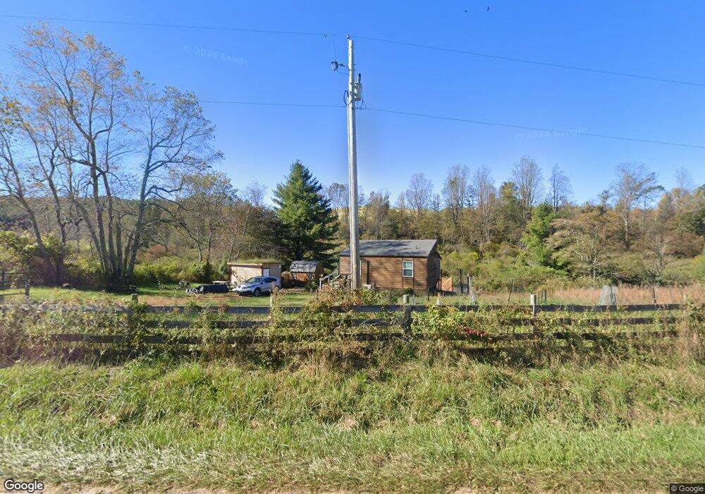
This home is located at 398 Canning Factory Rd SW, Floyd, VA 24091 and is currently estimated at $212,517. 398 Canning Factory Rd SW is a home located in Floyd County with nearby schools including Floyd County High School.
Ownership History
Date
Name
Owned For
Owner Type
Purchase Details
Closed on
May 10, 2019
Sold by
Knopp Roy W
Bought by
Hardwig George Scott
Current Estimated Value
Home Financials for this Owner
Home Financials are based on the most recent Mortgage that was taken out on this home.
Original Mortgage
$112,140
Outstanding Balance
$98,191
Interest Rate
4%
Mortgage Type
Closed End Mortgage
Estimated Equity
$114,326
Purchase Details
Closed on
Sep 2, 2015
Sold by
Harman Barbara B
Bought by
Knopp Roy W
Create a Home Valuation Report for This Property
The Home Valuation Report is an in-depth analysis detailing your home's value as well as a comparison with similar homes in the area
Home Values in the Area
Average Home Value in this Area
Purchase History
| Date | Buyer | Sale Price | Title Company |
|---|---|---|---|
| Hardwig George Scott | $126,000 | Attorney | |
| Knopp Roy W | $15,000 | None Available |
Source: Public Records
Mortgage History
| Date | Status | Borrower | Loan Amount |
|---|---|---|---|
| Open | Hardwig George Scott | $112,140 |
Source: Public Records
Tax History Compared to Growth
Tax History
| Year | Tax Paid | Tax Assessment Tax Assessment Total Assessment is a certain percentage of the fair market value that is determined by local assessors to be the total taxable value of land and additions on the property. | Land | Improvement |
|---|---|---|---|---|
| 2025 | $644 | $146,400 | $32,300 | $114,100 |
| 2024 | $539 | $80,400 | $29,000 | $51,400 |
| 2023 | $523 | $80,400 | $29,000 | $51,400 |
| 2022 | $523 | $80,400 | $29,000 | $51,400 |
| 2021 | $507 | $80,400 | $29,000 | $51,400 |
| 2020 | $482 | $80,400 | $29,000 | $51,400 |
| 2019 | $350 | $58,400 | $25,000 | $33,400 |
| 2018 | $350 | $58,400 | $25,000 | $33,400 |
| 2017 | -- | $58,400 | $25,000 | $33,400 |
| 2016 | $317 | $57,700 | $25,000 | $32,700 |
| 2015 | -- | $16,200 | $16,200 | $0 |
| 2014 | -- | $16,200 | $16,200 | $0 |
Source: Public Records
Map
Nearby Homes
- 1588 Epperly Mill Rd SW
- 000 Cox Store Rd SW
- 148 Mill Pond Rd SW
- 128 Mill Pond Rd SW
- 0 0 Unit VAHA2001058
- 1577 Fairview Church Rd SW
- TBD Franklin Pike SE
- tbd Parkway Ln S
- TBD Shooting Creek Rd SE
- TBD Webbs Mill Rd N
- Lot 5 Phadettia Rd
- 443 Laurel Branch Rd NW
- 0 Floyd Hwy S
- Lot 3 Roberson Mill Rd SE
- 517 Rock Hill Church Rd SE
- 519 Roberson Mill Rd SE
- 127 Page St NW
- 145 White Oak Dr SE
- 170 & 174 Sarvisberry Ln SW
- 357 Canning Factory Rd SW
- 271 Canning Factory Rd SW
- 271 Canning Factory Rd SW
- 271 Canning Factory Rd SW
- 271 Canning Factory Rd SW
- 271 Canning Factory Rd SW
- 271 Cox Store Rd SW
- 633 Canning Factory Rd SW
- 248 Cox Store Rd SW
- 349 Cox Store Rd SW
- 675 Canning Factory Rd SW
- 341 Black Ridge Rd SW
- 341 Black Ridge Rd SW
- 670 Canning Factory Rd SW
- 2055 Floyd Hwy S
- 2055 Floyd Hwy S
- 711 Canning Factory Rd SW
- 595 Canning Factory Rd SW
- 1885 Floyd Hwy S
- 737 Canning Factory Rd SW