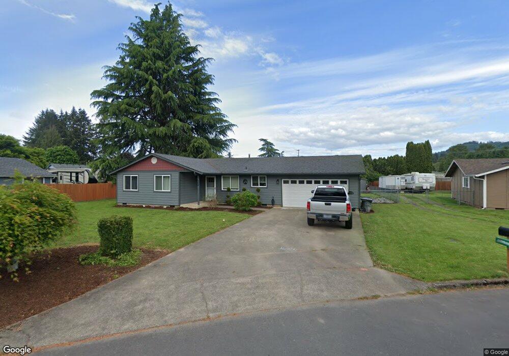
398 Cedar St Woodland, WA 98674
Estimated Value: $438,000 - $463,000
3
Beds
2
Baths
1,506
Sq Ft
$297/Sq Ft
Est. Value
About This Home
This home is located at 398 Cedar St, Woodland, WA 98674 and is currently estimated at $447,299, approximately $297 per square foot. 398 Cedar St is a home located in Cowlitz County with nearby schools including Woodland High School.
Ownership History
Date
Name
Owned For
Owner Type
Purchase Details
Closed on
Jan 25, 2021
Sold by
Newburn Faith Mckenzie and Newburn Lane Michael
Bought by
Newburn Lane Michael and Newburn Lane
Current Estimated Value
Home Financials for this Owner
Home Financials are based on the most recent Mortgage that was taken out on this home.
Original Mortgage
$155,000
Outstanding Balance
$114,029
Interest Rate
2.67%
Mortgage Type
New Conventional
Estimated Equity
$333,270
Purchase Details
Closed on
May 10, 2017
Sold by
Fitzgerald Jeffery T and Fitzgerald Alicia M
Bought by
Newburn Lane
Home Financials for this Owner
Home Financials are based on the most recent Mortgage that was taken out on this home.
Original Mortgage
$199,500
Interest Rate
4.14%
Mortgage Type
New Conventional
Create a Home Valuation Report for This Property
The Home Valuation Report is an in-depth analysis detailing your home's value as well as a comparison with similar homes in the area
Home Values in the Area
Average Home Value in this Area
Purchase History
| Date | Buyer | Sale Price | Title Company |
|---|---|---|---|
| Newburn Lane Michael | -- | Wfg Natl Ttl Co Of Clark Cnt | |
| Newburn Lane | $210,000 | Wfg Natl Title Of Clark Cnty |
Source: Public Records
Mortgage History
| Date | Status | Borrower | Loan Amount |
|---|---|---|---|
| Open | Newburn Lane Michael | $155,000 | |
| Closed | Newburn Lane | $199,500 |
Source: Public Records
Tax History Compared to Growth
Tax History
| Year | Tax Paid | Tax Assessment Tax Assessment Total Assessment is a certain percentage of the fair market value that is determined by local assessors to be the total taxable value of land and additions on the property. | Land | Improvement |
|---|---|---|---|---|
| 2024 | $3,760 | $382,100 | $59,400 | $322,700 |
| 2023 | $3,512 | $373,310 | $59,400 | $313,910 |
| 2022 | $3,231 | $353,410 | $59,400 | $294,010 |
| 2021 | $3,204 | $305,980 | $54,000 | $251,980 |
| 2020 | $2,857 | $281,620 | $54,000 | $227,620 |
| 2019 | $2,153 | $246,900 | $54,000 | $192,900 |
| 2018 | $2,252 | $214,750 | $54,000 | $160,750 |
| 2017 | $1,904 | $193,550 | $54,000 | $139,550 |
| 2016 | $1,770 | $169,340 | $50,000 | $119,340 |
| 2015 | $1,626 | $154,690 | $50,000 | $104,690 |
| 2013 | -- | $123,520 | $37,710 | $85,810 |
Source: Public Records
Map
Nearby Homes
- 3060 Spruce Ave
- 3040 Spruce Ave
- 2185 Dahlia St
- 284 Gun Club Rd
- Harris Plan at Riverwalk at Lewis River
- Melody Plan at Riverwalk at Lewis River
- Daniel Plan at Riverwalk at Lewis River
- 3079 Heron St
- 3070 Spruce Ave
- 3109 Heron St
- 3119 Heron St
- 3033 Salmon St
- 221 Valley Way
- 1986 Meadowood Loop
- 3043 Salmon St
- 2009 Lewis River Rd Unit 17
- 2009 Lewis River Rd Unit 24
- 2216 Statesman Dr Unit Lot 46
- 2214 Statesman Dr Unit Lot 45
- 2210 Statesman Dr Unit 44
- 410 Cedar St
- 390 Cedar St
- 381 Fir Ave
- 391 Cedar St
- 2144 Lewis River Rd
- 2142 Lewis River Rd
- 360 Cedar St
- 140 Dehning Dr
- 2132 Lewis River Rd
- 160 Dehning Dr
- 2102 Rhododendron Dr
- 130 Dehning Dr
- 370 Fir Ave
- 381 Cedar St
- 371 Fir Ave
- 340 Cedar St
- 120 Dehning Dr
- 2064 Rhododendron Dr
- 170 Dehning Dr
- 2126 Lewis River Rd