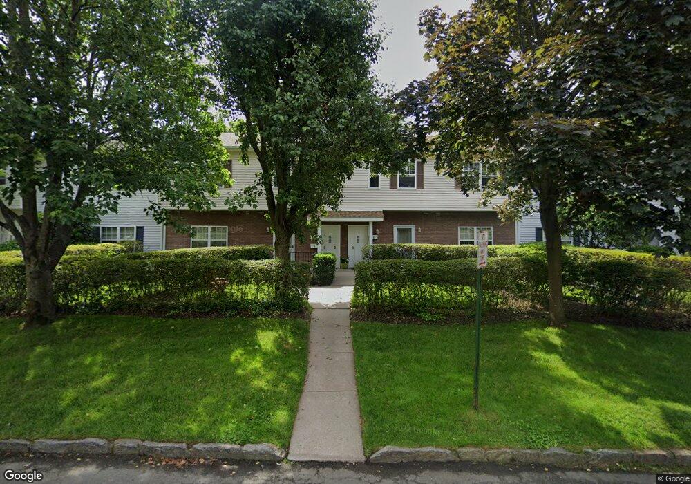
398 Cortland Ave Unit 6 Mamaroneck, NY 10543
Estimated Value: $500,000 - $631,000
2
Beds
2
Baths
1,054
Sq Ft
$533/Sq Ft
Est. Value
About This Home
This home is located at 398 Cortland Ave Unit 6, Mamaroneck, NY 10543 and is currently estimated at $561,590, approximately $532 per square foot. 398 Cortland Ave Unit 6 is a home located in Westchester County with nearby schools including Mamaroneck High School, French-American School of New York, and Westchester Day School.
Ownership History
Date
Name
Owned For
Owner Type
Purchase Details
Closed on
Dec 4, 2020
Sold by
Breen Michael
Bought by
Burke Fergal
Current Estimated Value
Purchase Details
Closed on
Sep 23, 2008
Sold by
Corsetti Daniel P
Bought by
Breen Michael
Home Financials for this Owner
Home Financials are based on the most recent Mortgage that was taken out on this home.
Original Mortgage
$350,000
Interest Rate
6.43%
Mortgage Type
Commercial
Purchase Details
Closed on
Jun 6, 2005
Sold by
Pritsiolas James
Bought by
Corsetti Daniel P
Create a Home Valuation Report for This Property
The Home Valuation Report is an in-depth analysis detailing your home's value as well as a comparison with similar homes in the area
Home Values in the Area
Average Home Value in this Area
Purchase History
| Date | Buyer | Sale Price | Title Company |
|---|---|---|---|
| Burke Fergal | $495,000 | Record And Return Title Agcy | |
| Breen Michael | $455,000 | First American Title Ins Co | |
| Corsetti Daniel P | $440,000 | Antonio Vozza | |
| Corsetti Daniel P | $440,000 | First American Title Ins Co |
Source: Public Records
Mortgage History
| Date | Status | Borrower | Loan Amount |
|---|---|---|---|
| Previous Owner | Breen Michael | $350,000 |
Source: Public Records
Tax History Compared to Growth
Tax History
| Year | Tax Paid | Tax Assessment Tax Assessment Total Assessment is a certain percentage of the fair market value that is determined by local assessors to be the total taxable value of land and additions on the property. | Land | Improvement |
|---|---|---|---|---|
| 2024 | $4,539 | $198,800 | $106,600 | $92,200 |
| 2023 | $3,524 | $198,800 | $106,600 | $92,200 |
| 2022 | $3,744 | $198,800 | $106,600 | $92,200 |
| 2021 | $5,032 | $198,800 | $106,600 | $92,200 |
| 2020 | $4,976 | $198,800 | $106,600 | $92,200 |
| 2019 | $4,939 | $198,800 | $106,600 | $92,200 |
| 2018 | $4,885 | $198,800 | $106,600 | $92,200 |
| 2017 | $0 | $198,800 | $106,600 | $92,200 |
| 2016 | $3,602 | $198,800 | $106,600 | $92,200 |
| 2015 | -- | $198,800 | $106,600 | $92,200 |
| 2014 | -- | $198,800 | $106,600 | $92,200 |
| 2013 | -- | $198,800 | $106,600 | $92,200 |
Source: Public Records
Map
Nearby Homes
- 314 Livingston Ave Unit 101 E
- 300 Livingston Ave Unit 2D
- 304 Fenimore Rd Unit 7A
- 225 Stanley Ave Unit 119
- 400 Mount Pleasant Ave Unit 3-J
- 315 Palmer Terrace Unit 1D
- 325 Palmer Terrace Unit 2C
- 703 Palmer Ct Unit 2A
- 651 Plaza Ave
- 505 Rockland Ave
- 572 van Ranst Place
- 953 W Boston Post Rd Unit 3G
- 1015 Old Post Rd Unit MM
- 1015 Old Post Rd Unit 3N
- 101 Sheldrake Place Unit 101-10
- 101 Sheldrake Place Unit 14
- 207 Grand St
- 907 Palmer Ave Unit H1
- 604 Tompkins Ave Unit C1
- 604 Tompkins Ave Unit B-2
- 398 Cortlandt Ave Unit 8
- 398 Cortlandt Ave Unit 5
- 398 Cortlandt Ave Unit 6
- 398 Cortlandt Ave
- 398 Cortlandt Ave Unit 7
- 398 Cortland Ave Unit 8
- 398 Cortland Ave Unit 7
- 398 Cortland Ave Unit 5
- 398 Cortland Ave Unit 4
- 398 Cortland Ave Unit 3
- 398 Cortland Ave Unit 2
- 398 Cortland Ave Unit 1
- 131 Fenimore Rd
- 147 Fenimore Rd
- 147 Fenimore Rd Unit A
- 145 Fenimore Rd
- 145 Fenimore Rd Unit A
- 143 Fenimore Rd
- 143 Fenimore Rd Unit B
- 141 Fenimore Rd Unit 141B