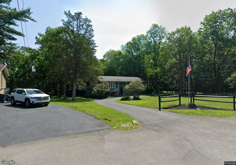
398 Cottontail Ln East Stroudsburg, PA 18301
Estimated Value: $300,000 - $352,000
4
Beds
2
Baths
1,810
Sq Ft
$180/Sq Ft
Est. Value
About This Home
This home is located at 398 Cottontail Ln, East Stroudsburg, PA 18301 and is currently estimated at $325,845, approximately $180 per square foot. 398 Cottontail Ln is a home located in Monroe County with nearby schools including Stroudsburg Junior High School, Stroudsburg High School, and Summit School Of The Poconos.
Ownership History
Date
Name
Owned For
Owner Type
Purchase Details
Closed on
Jun 25, 2009
Sold by
Otto Barbara K
Bought by
Vanwhy Ricky A
Current Estimated Value
Home Financials for this Owner
Home Financials are based on the most recent Mortgage that was taken out on this home.
Original Mortgage
$215,033
Outstanding Balance
$137,100
Interest Rate
4.86%
Mortgage Type
FHA
Estimated Equity
$188,745
Create a Home Valuation Report for This Property
The Home Valuation Report is an in-depth analysis detailing your home's value as well as a comparison with similar homes in the area
Home Values in the Area
Average Home Value in this Area
Purchase History
| Date | Buyer | Sale Price | Title Company |
|---|---|---|---|
| Vanwhy Ricky A | $219,000 | None Available |
Source: Public Records
Mortgage History
| Date | Status | Borrower | Loan Amount |
|---|---|---|---|
| Open | Vanwhy Ricky A | $215,033 |
Source: Public Records
Tax History Compared to Growth
Tax History
| Year | Tax Paid | Tax Assessment Tax Assessment Total Assessment is a certain percentage of the fair market value that is determined by local assessors to be the total taxable value of land and additions on the property. | Land | Improvement |
|---|---|---|---|---|
| 2025 | $1,153 | $139,810 | $23,520 | $116,290 |
| 2024 | $943 | $139,810 | $23,520 | $116,290 |
| 2023 | $4,667 | $139,810 | $23,520 | $116,290 |
| 2022 | $4,765 | $139,810 | $23,520 | $116,290 |
| 2021 | $4,619 | $139,810 | $23,520 | $116,290 |
| 2020 | $4,556 | $139,810 | $23,520 | $116,290 |
| 2019 | $4,499 | $23,860 | $5,250 | $18,610 |
| 2018 | $4,799 | $23,860 | $5,250 | $18,610 |
| 2017 | $4,799 | $23,860 | $5,250 | $18,610 |
| 2016 | $903 | $23,860 | $5,250 | $18,610 |
| 2015 | -- | $23,860 | $5,250 | $18,610 |
| 2014 | -- | $23,860 | $5,250 | $18,610 |
Source: Public Records
Map
Nearby Homes
- 720 Stokes Mill Rd
- 0 Seneca Way
- 179 King St
- 772 Mohawk Trail
- 137 Berwick Heights Rd
- 1191 Appenzeller Ave
- 1184 Appenzeller Ave
- 3 Oakland Ave
- 1 Oakland Ave
- 144 W Broad St
- 118 Burgoon Rd
- 0 Monroe-Heights Rd
- 198 Grove St
- 202 N Courtland St Unit 1 & 2
- 202 N Courtland St
- 197 Meyers St
- 182 State St
- 727 Milford Rd
- 73 E Broad St
- 521 Emerald Ct
- 400 Cottontail Ln
- 404 Cottontail Ln
- 399 Cindy Ct
- 116 Cindy Ct
- 301 Cindy Ct
- 400 Cindy Ln
- 400 Cindy Ln
- 400 Cindy Ln
- 403 Cottontail Ln
- 350 Cindy Ct
- 117 Cindy Ct
- 5465 Rabbit Foot Rd
- 6402 White Birch St
- 400 White Birch St
- 300 Cindy Ct
- 465 Cindy Ln
- 7444 School View Ln
- 413 Cottontail Ln
- 6416 White Birch St
- 302 Cindy Ct