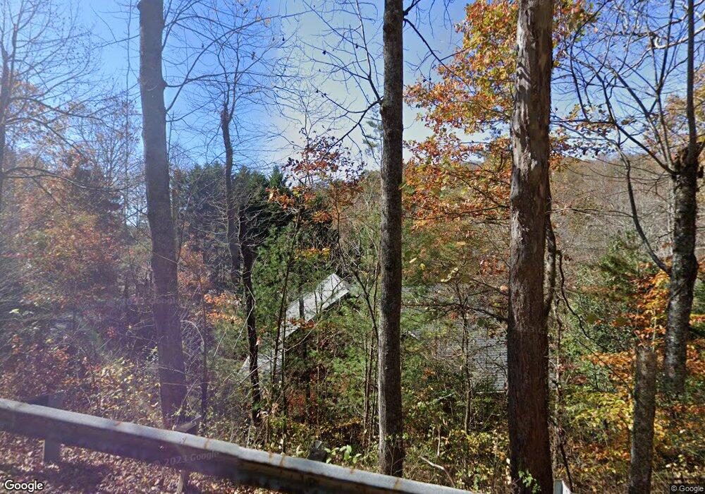
398 Dry Branch Rd Blue Ridge, GA 30513
Estimated Value: $449,000 - $732,000
2
Beds
2
Baths
1,860
Sq Ft
$319/Sq Ft
Est. Value
About This Home
This home is located at 398 Dry Branch Rd, Blue Ridge, GA 30513 and is currently estimated at $592,907, approximately $318 per square foot. 398 Dry Branch Rd is a home located in Fannin County with nearby schools including Fannin County High School and Fannin Christian Learning Center.
Ownership History
Date
Name
Owned For
Owner Type
Purchase Details
Closed on
Feb 25, 2011
Sold by
Dickson Sylvia T
Bought by
Dickson Sylvia T and Dickson William R
Current Estimated Value
Purchase Details
Closed on
Sep 19, 2003
Sold by
Ward Wanda
Bought by
Nicholson Calvin
Purchase Details
Closed on
Dec 24, 1985
Bought by
Nicholson Calvin
Create a Home Valuation Report for This Property
The Home Valuation Report is an in-depth analysis detailing your home's value as well as a comparison with similar homes in the area
Home Values in the Area
Average Home Value in this Area
Purchase History
| Date | Buyer | Sale Price | Title Company |
|---|---|---|---|
| Dickson Sylvia T | -- | -- | |
| Dickson Sylvia T | $186,000 | -- | |
| Nicholson Calvin | -- | -- | |
| Nicholson Calvin | $8,000 | -- |
Source: Public Records
Tax History Compared to Growth
Tax History
| Year | Tax Paid | Tax Assessment Tax Assessment Total Assessment is a certain percentage of the fair market value that is determined by local assessors to be the total taxable value of land and additions on the property. | Land | Improvement |
|---|---|---|---|---|
| 2024 | $1,792 | $195,560 | $7,314 | $188,246 |
| 2023 | $1,640 | $160,876 | $7,314 | $153,562 |
| 2022 | $2,149 | $210,826 | $7,314 | $203,512 |
| 2021 | $1,381 | $98,511 | $7,314 | $91,197 |
| 2020 | $1,404 | $98,511 | $7,314 | $91,197 |
| 2019 | $1,431 | $98,511 | $7,314 | $91,197 |
| 2018 | $1,485 | $96,421 | $5,224 | $91,197 |
| 2017 | $1,729 | $97,707 | $5,224 | $92,483 |
| 2016 | $1,454 | $85,590 | $5,224 | $80,366 |
| 2015 | $1,582 | $89,168 | $5,224 | $83,944 |
| 2014 | $1,300 | $73,468 | $3,795 | $69,673 |
| 2013 | -- | $57,656 | $3,794 | $53,861 |
Source: Public Records
Map
Nearby Homes
- 266 Bluebird Ln
- LOT 15 Tanglewood Cove Unit 15
- LOT 15 Tanglewood Cove
- 5 Tanglewood Cove
- 230 Tanglewood Dr
- 230 Tanglewood Dr Unit 5B6B14B3B
- 444 Yellowbird Trail
- 133 Yellowbird Trail Unit 34
- 133 Yellowbird Trail
- 407 Tanglewood Dr
- 92 Wilderness Trail
- 45 Wilderness Trail
- 16 Hollow Springs Rd
- 881 Aska Rd
- Lot 72 Hill Top Way
- 2 Aska Rd
- 60 Lake Ridge Dr
- 329 Carlie Trail
- 474 Stewart Camp Point
- 392 Eagles Nest Mountain Rd Unit 7
- 48 Tanglewood Dr
- 60 Tanglewood Dr
- 60 Tanglewood Dr Unit B13
- 48 Tanglewood Dr
- 220 Songbird Ave
- 122 Tanglewood Dr
- LOT15 Hummingbird Hill Rd
- 10 AC Dry Branch Rd
- 112 Songbird Ave Unit 33
- 120 Tanglewood Dr
- 80 Songbird Ave
- 225 Songbird Ave
- 0 Tanglewood Dr Unit 8654319
- 0 Tanglewood Dr Unit 8882651
- 352 Dry Branch Rd
- 48 Songbird Ave
- 0 Songbird Ave Unit 8874977
- 0 Songbird Ave Unit 8370324
- 0 Songbird Ave
- 95 Tanglewood Dr