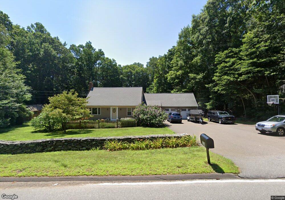
398 Route 148 Killingworth, CT 06419
Estimated Value: $546,000 - $574,000
3
Beds
2
Baths
2,051
Sq Ft
$272/Sq Ft
Est. Value
About This Home
This home is located at 398 Route 148, Killingworth, CT 06419 and is currently estimated at $557,507, approximately $271 per square foot. 398 Route 148 is a home located in Middlesex County with nearby schools including Haddam-Killingworth High School and Haddam-Killingworth Intermediate School.
Ownership History
Date
Name
Owned For
Owner Type
Purchase Details
Closed on
Nov 3, 1997
Sold by
Leach Robert C and Leach Carol W
Bought by
Moore Arnold N and Harkin Mary M
Current Estimated Value
Home Financials for this Owner
Home Financials are based on the most recent Mortgage that was taken out on this home.
Original Mortgage
$70,000
Interest Rate
7.31%
Mortgage Type
Unknown
Purchase Details
Closed on
Apr 29, 1992
Sold by
Meeker Jeff B and Tefft Marilyn
Bought by
Leach Robert C and Leach Carol W
Home Financials for this Owner
Home Financials are based on the most recent Mortgage that was taken out on this home.
Original Mortgage
$50,000
Interest Rate
8.96%
Mortgage Type
Unknown
Create a Home Valuation Report for This Property
The Home Valuation Report is an in-depth analysis detailing your home's value as well as a comparison with similar homes in the area
Home Values in the Area
Average Home Value in this Area
Purchase History
| Date | Buyer | Sale Price | Title Company |
|---|---|---|---|
| Moore Arnold N | $174,050 | -- | |
| Leach Robert C | $168,000 | -- |
Source: Public Records
Mortgage History
| Date | Status | Borrower | Loan Amount |
|---|---|---|---|
| Closed | Leach Robert C | $168,000 | |
| Closed | Leach Robert C | $100,000 | |
| Closed | Leach Robert C | $70,000 | |
| Previous Owner | Leach Robert C | $50,000 |
Source: Public Records
Tax History Compared to Growth
Tax History
| Year | Tax Paid | Tax Assessment Tax Assessment Total Assessment is a certain percentage of the fair market value that is determined by local assessors to be the total taxable value of land and additions on the property. | Land | Improvement |
|---|---|---|---|---|
| 2025 | $5,980 | $228,060 | $66,500 | $161,560 |
| 2024 | $5,524 | $228,060 | $66,500 | $161,560 |
| 2023 | $5,353 | $228,060 | $66,500 | $161,560 |
| 2022 | $5,296 | $228,060 | $66,500 | $161,560 |
| 2021 | $5,105 | $191,060 | $70,000 | $121,060 |
| 2020 | $5,105 | $191,060 | $70,000 | $121,060 |
| 2019 | $5,248 | $191,060 | $70,000 | $121,060 |
| 2018 | $5,248 | $191,060 | $70,000 | $121,060 |
| 2017 | $5,248 | $191,060 | $70,000 | $121,060 |
| 2016 | $4,888 | $188,810 | $105,000 | $83,810 |
| 2015 | $4,764 | $188,810 | $105,000 | $83,810 |
| 2014 | $4,632 | $188,810 | $105,000 | $83,810 |
Source: Public Records
Map
Nearby Homes
- 275 Route 148
- 10 & 12 Firetower Rd
- 24 Boulder Trail
- 511 Route 81
- 593 Route 148
- 6 Country Club Trail
- 29 Bridlepath Trail
- 8 Livemore Trail
- 14 Kenilworth Dr
- 33 Whitewood Rd
- 115 Hemlock Dr
- 3 Woodland Trail
- 30 Chestnut Hill Rd
- 193 Emanuel Church Rd
- 464 Roast Meat Hill Rd
- 202 Old Deep River Turnpike
- 13 Cranberry Meadow Ln
- 262 Connecticut 81
- 14 Ely Ln
- 60 Chestnut Hill Rd