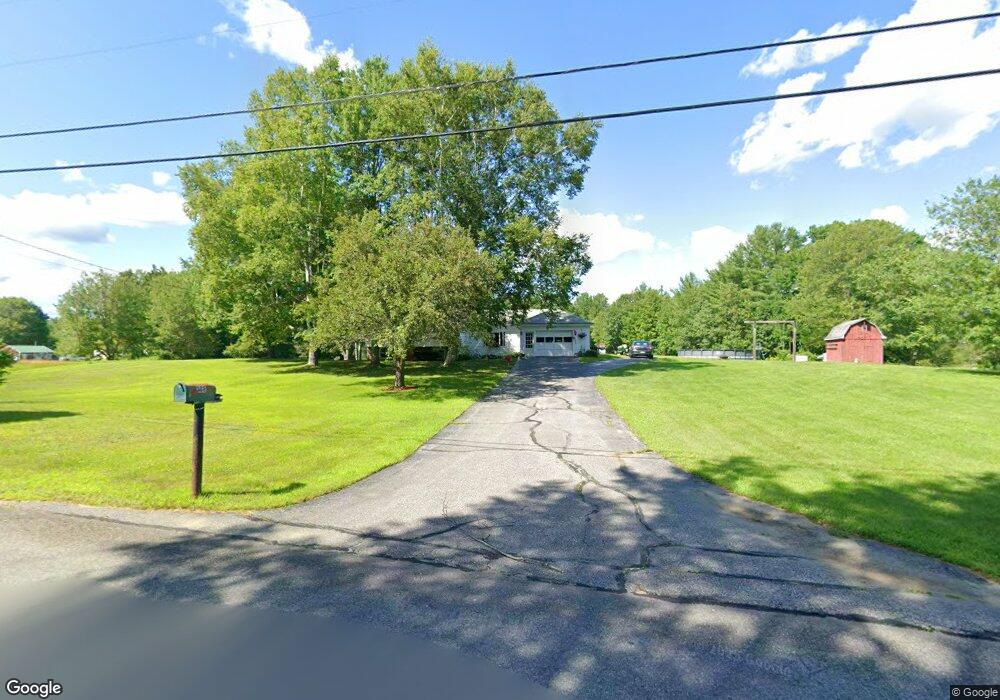
398 Strickland Loop Rd Livermore Falls, ME 04254
Estimated Value: $162,000 - $374,000
3
Beds
2
Baths
1,117
Sq Ft
$209/Sq Ft
Est. Value
About This Home
This home is located at 398 Strickland Loop Rd, Livermore Falls, ME 04254 and is currently estimated at $233,486, approximately $209 per square foot. 398 Strickland Loop Rd is a home located in Androscoggin County with nearby schools including Spruce Mountain Primary School, Spruce Mountain Elementary School, and Spruce Mountain Middle School.
Ownership History
Date
Name
Owned For
Owner Type
Purchase Details
Closed on
Sep 4, 2014
Sold by
Morris Malcolm J and Morris Nancy L
Bought by
Castonguay Erik A and Castonguay Coral B
Current Estimated Value
Home Financials for this Owner
Home Financials are based on the most recent Mortgage that was taken out on this home.
Original Mortgage
$124,489
Outstanding Balance
$95,234
Interest Rate
4.12%
Mortgage Type
New Conventional
Estimated Equity
$138,252
Create a Home Valuation Report for This Property
The Home Valuation Report is an in-depth analysis detailing your home's value as well as a comparison with similar homes in the area
Home Values in the Area
Average Home Value in this Area
Purchase History
| Date | Buyer | Sale Price | Title Company |
|---|---|---|---|
| Castonguay Erik A | -- | -- |
Source: Public Records
Mortgage History
| Date | Status | Borrower | Loan Amount |
|---|---|---|---|
| Open | Castonguay Erik A | $124,489 |
Source: Public Records
Tax History Compared to Growth
Tax History
| Year | Tax Paid | Tax Assessment Tax Assessment Total Assessment is a certain percentage of the fair market value that is determined by local assessors to be the total taxable value of land and additions on the property. | Land | Improvement |
|---|---|---|---|---|
| 2024 | $2,751 | $106,000 | $16,400 | $89,600 |
| 2023 | $2,571 | $106,000 | $16,400 | $89,600 |
| 2022 | $2,438 | $106,000 | $16,400 | $89,600 |
| 2021 | $2,459 | $106,000 | $16,400 | $89,600 |
| 2020 | $6,936 | $106,000 | $16,400 | $89,600 |
| 2019 | $1,299 | $106,000 | $16,400 | $89,600 |
| 2018 | $2,290 | $106,000 | $16,400 | $89,600 |
| 2017 | $2,290 | $106,000 | $16,400 | $89,600 |
| 2016 | $2,215 | $106,000 | $16,400 | $89,600 |
| 2015 | $2,237 | $106,000 | $16,400 | $89,600 |
| 2014 | $2,237 | $106,000 | $16,400 | $89,600 |
| 2013 | $2,205 | $106,000 | $16,400 | $89,600 |
Source: Public Records
Map
Nearby Homes
- 309 Strickland Ferry Rd
- 1076 Park St
- 156 Lakeshore Dr
- 232 Campground Rd
- 286 Pond Rd
- 58-1 North Rd
- 27 Mountain View Rd
- 64 Paddleford Rd
- 881 River Rd
- M 6, L 32 Main St
- Lot 39 Main St
- 591 North Rd
- 574 Howes Corner Rd
- 8 Sunrise Trail
- 113 Turkey Ln
- Lot 9B Pulsifer Rd
- 9 Pulsifer Rd
- 172 Baldwin Hill Rd
- 29 Kents Hill Rd
- 21 Stonewall Dr
- 391 Strickland Loop Rd
- 379 Strickland Loop Rd
- 4309 Maine 106
- 378 Strickland Loop Rd
- 455 Leeds Rd
- 3 Morris Ln
- 450 Leeds Rd
- 373 Strickland Loop Rd
- 426 Leeds Rd
- 2293 Route 106
- 413 Leeds Rd
- 335 Strickland Loop Rd
- 330 Strickland Loop Rd
- 2276 Maine 106
- 318 Strickland Loop Rd
- 396 Leeds Rd
- 304 Strickland Loop Rd
- 298 Strickland Loop Rd
- 86 Strickland Loop Rd
- 112 Strickland Loop Rd