398 Tom Tynes Rd Denison, TX 75020
Estimated Value: $321,029 - $581,000
Studio
--
Bath
2,704
Sq Ft
$167/Sq Ft
Est. Value
About This Home
This home is located at 398 Tom Tynes Rd, Denison, TX 75020 and is currently estimated at $451,015, approximately $166 per square foot. 398 Tom Tynes Rd is a home with nearby schools including Mayes Elementary School, Scott Middle School, and Denison High School.
Ownership History
Date
Name
Owned For
Owner Type
Purchase Details
Closed on
Apr 15, 2005
Sold by
Stroud Bernita Jordan Tynes
Bought by
Jansen Briant J
Current Estimated Value
Home Financials for this Owner
Home Financials are based on the most recent Mortgage that was taken out on this home.
Original Mortgage
$125,507
Outstanding Balance
$64,767
Interest Rate
5.78%
Mortgage Type
FHA
Estimated Equity
$386,248
Create a Home Valuation Report for This Property
The Home Valuation Report is an in-depth analysis detailing your home's value as well as a comparison with similar homes in the area
Home Values in the Area
Average Home Value in this Area
Purchase History
| Date | Buyer | Sale Price | Title Company |
|---|---|---|---|
| Jansen Briant J | -- | -- |
Source: Public Records
Mortgage History
| Date | Status | Borrower | Loan Amount |
|---|---|---|---|
| Open | Jansen Briant J | $125,507 |
Source: Public Records
Tax History
| Year | Tax Paid | Tax Assessment Tax Assessment Total Assessment is a certain percentage of the fair market value that is determined by local assessors to be the total taxable value of land and additions on the property. | Land | Improvement |
|---|---|---|---|---|
| 2025 | $3,020 | $234,896 | $67,915 | $166,981 |
| 2024 | $4,353 | $270,164 | $0 | $0 |
| 2023 | $2,625 | $245,604 | $0 | $0 |
| 2022 | $3,849 | $223,276 | $0 | $0 |
| 2021 | $3,796 | $202,978 | $63,259 | $139,719 |
| 2020 | $4,087 | $205,808 | $59,984 | $145,824 |
| 2019 | $4,553 | $214,909 | $52,035 | $162,874 |
| 2018 | $4,440 | $207,383 | $51,057 | $156,326 |
| 2017 | $4,091 | $189,908 | $38,419 | $151,489 |
| 2016 | $3,732 | $173,245 | $34,768 | $138,477 |
Source: Public Records
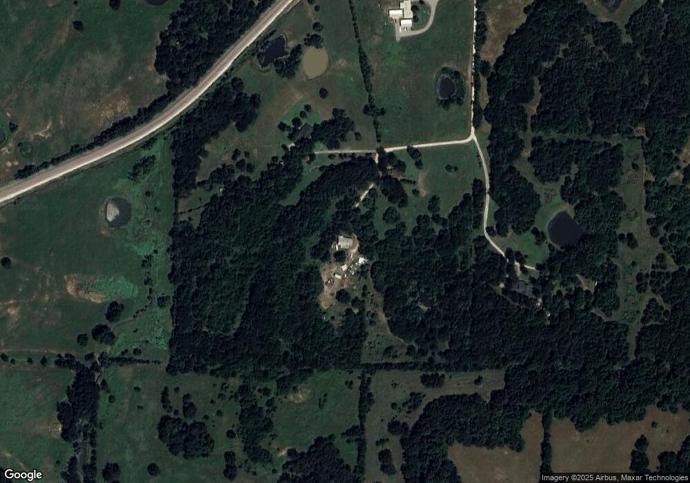
Map
Nearby Homes
- TBD Preston Rd
- 48 Summit Oaks Cir
- Lot #8 Summit Oaks Cir
- 2 Summit Oaks Cir
- 6914 Farm To Market 120
- 1 Farm To Market 120
- TBD Angus Rd
- 31 Golf Walk Cir
- 20 Golf Walk Cir
- 108 Golf Walk Cir
- 334 Golf Walk Cir
- 000 TBD Golf Walk Cir
- 4397 Highland Dr
- 2.76 Acres Tbd N Hwy 120
- 113 Iron Horse Ln
- 128 Ginger Dr
- 4170 Carter Ct
- 209 Chrissa Dr
- 5300 Highland Dr
- TBD W Fm 120
- 380 Tom Tynes Rd
- 397 Tom Tynes Rd
- 300 Tom Tynes Rd
- 177 Tom Tynes Rd
- 447 Holder Ln
- 5442 Preston Rd
- 315 Holder Ln
- 0 Tom Tynes Rd
- 5292 Preston Rd
- TBD Preston Rd Unit (Lot1)
- TBD Preston Rd Unit (Lot 2)
- TBD Preston Rd Unit (Lot 3)
- 00 Preston Rd
- 00 Preston Rd
- 00 Preston Rd
- Lot 6B Preston Rd
- Lot 6A Preston Rd
- TBA Preston Rd
- Lot 2 Preston Rd
- 5894 Helen Dr
Your Personal Tour Guide
Ask me questions while you tour the home.