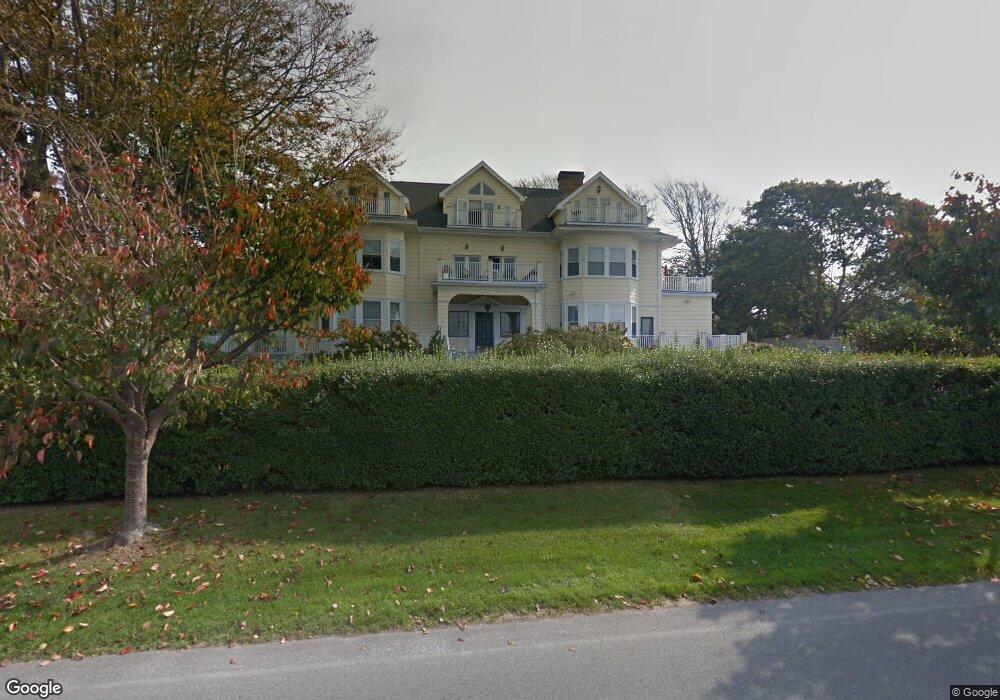
398 Wolcott Ave Unit 5 Middletown, RI 02842
Estimated Value: $828,000 - $1,588,000
2
Beds
3
Baths
1,440
Sq Ft
$744/Sq Ft
Est. Value
About This Home
This home is located at 398 Wolcott Ave Unit 5, Middletown, RI 02842 and is currently estimated at $1,070,826, approximately $743 per square foot. 398 Wolcott Ave Unit 5 is a home located in Newport County with nearby schools including Middletown High School, St Michael's Country Day School, and St George's School.
Ownership History
Date
Name
Owned For
Owner Type
Purchase Details
Closed on
Jul 15, 2002
Sold by
Walsh Robert B and Walsh Victory
Bought by
Trombley Peter G
Current Estimated Value
Home Financials for this Owner
Home Financials are based on the most recent Mortgage that was taken out on this home.
Original Mortgage
$348,000
Interest Rate
6.79%
Create a Home Valuation Report for This Property
The Home Valuation Report is an in-depth analysis detailing your home's value as well as a comparison with similar homes in the area
Home Values in the Area
Average Home Value in this Area
Purchase History
| Date | Buyer | Sale Price | Title Company |
|---|---|---|---|
| Trombley Peter G | $464,000 | -- |
Source: Public Records
Mortgage History
| Date | Status | Borrower | Loan Amount |
|---|---|---|---|
| Open | Trombley Peter G | $329,319 | |
| Closed | Trombley Peter G | $348,000 |
Source: Public Records
Tax History Compared to Growth
Tax History
| Year | Tax Paid | Tax Assessment Tax Assessment Total Assessment is a certain percentage of the fair market value that is determined by local assessors to be the total taxable value of land and additions on the property. | Land | Improvement |
|---|---|---|---|---|
| 2024 | $7,723 | $685,900 | $0 | $685,900 |
| 2023 | $7,506 | $596,200 | $0 | $596,200 |
| 2022 | $7,166 | $596,200 | $0 | $596,200 |
| 2021 | $7,790 | $648,100 | $0 | $648,100 |
| 2020 | $6,003 | $436,300 | $0 | $436,300 |
| 2018 | $5,999 | $436,300 | $0 | $436,300 |
| 2016 | $6,594 | $427,600 | $0 | $427,600 |
| 2015 | $6,431 | $427,600 | $0 | $427,600 |
| 2014 | $5,295 | $329,500 | $0 | $329,500 |
| 2013 | $5,176 | $329,500 | $0 | $329,500 |
Source: Public Records
Map
Nearby Homes
- 4 James St
- 140 Tuckerman Ave
- 24 Perry Ave
- 47 Allston Ave
- 57 Warren Ave
- 117 Wolcott Ave
- 10 Oceanview Dr
- 141 Gray Craig Rd
- 82 Ellery Rd
- 78 Ellery Rd
- 55 John Clarke Rd Unit 8
- 55 John Clarke Rd Unit 3
- 201 Paradise Ave
- 36 Kay Blvd
- 128 Eustis Ave
- 16 Sachuest Dr
- 55 Hunter Ave
- 0 Saltwood Dr
- 198 Gibbs Ave
- 0 Honeyman Ave
- 398 Wolcott Ave Unit 9
- 398 Wolcott Ave Unit 2
- 398 Wolcott Ave Unit 4
- 398 Wolcott Ave Unit 7
- 398 Wolcott Ave Unit 3
- 398 Wolcott Ave Unit 8
- 398 Wolcott Ave Unit 6
- 398 Wolcott Ave
- 1 Odonnell Rd
- 412 Wolcott Ave
- 5 Odonnell Rd
- 5 O'Donnell Rd
- 5 Odonnell Rd
- 5 O’donnell Rd
- 395 Wolcott Ave
- 418 Wolcott Ave
- 401 Wolcott Ave
- 7 O'Donnell Rd
- 7 Odonnell Rd
- 313 Purgatory Rd