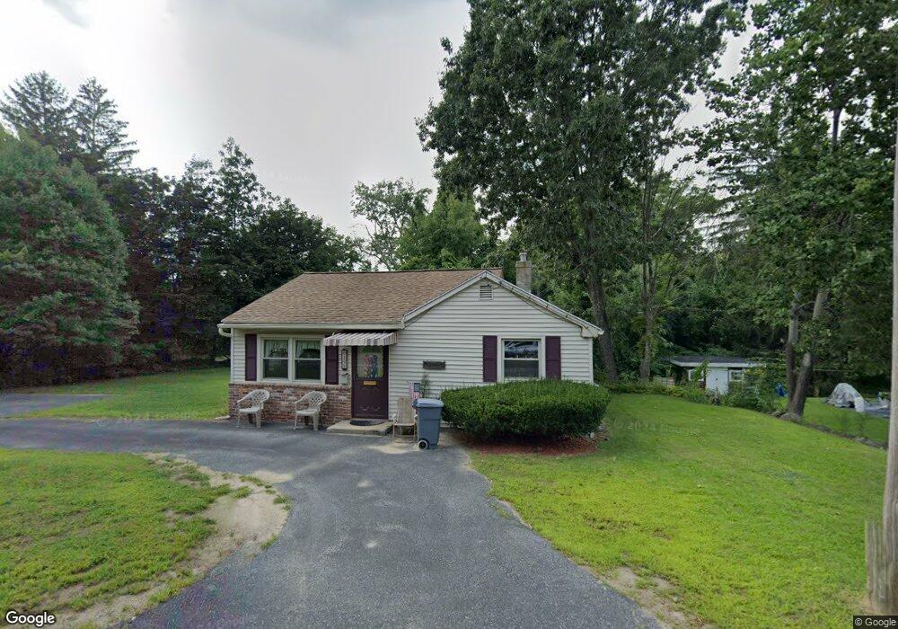
398 Worcester St West Boylston, MA 01583
Estimated Value: $379,000 - $428,000
1
Bed
1
Bath
837
Sq Ft
$474/Sq Ft
Est. Value
About This Home
This home is located at 398 Worcester St, West Boylston, MA 01583 and is currently estimated at $396,399, approximately $473 per square foot. 398 Worcester St is a home located in Worcester County with nearby schools including Major Edwards Elementary School, West Boylston Junior/Senior High School, and Abby Kelley Foster Charter Public School.
Ownership History
Date
Name
Owned For
Owner Type
Purchase Details
Closed on
May 15, 2001
Sold by
Beardsley Andrew A
Bought by
Gleason Catherine
Current Estimated Value
Home Financials for this Owner
Home Financials are based on the most recent Mortgage that was taken out on this home.
Original Mortgage
$100,000
Interest Rate
6.88%
Mortgage Type
Purchase Money Mortgage
Purchase Details
Closed on
Feb 23, 2001
Sold by
Trombi Mario
Bought by
Beardsley Andrew A
Home Financials for this Owner
Home Financials are based on the most recent Mortgage that was taken out on this home.
Original Mortgage
$76,000
Interest Rate
6.89%
Mortgage Type
Purchase Money Mortgage
Create a Home Valuation Report for This Property
The Home Valuation Report is an in-depth analysis detailing your home's value as well as a comparison with similar homes in the area
Home Values in the Area
Average Home Value in this Area
Purchase History
| Date | Buyer | Sale Price | Title Company |
|---|---|---|---|
| Gleason Catherine | $125,000 | -- | |
| Beardsley Andrew A | $95,000 | -- |
Source: Public Records
Mortgage History
| Date | Status | Borrower | Loan Amount |
|---|---|---|---|
| Open | Beardsley Andrew A | $100,000 | |
| Closed | Beardsley Andrew A | $100,000 | |
| Previous Owner | Beardsley Andrew A | $76,000 |
Source: Public Records
Tax History Compared to Growth
Tax History
| Year | Tax Paid | Tax Assessment Tax Assessment Total Assessment is a certain percentage of the fair market value that is determined by local assessors to be the total taxable value of land and additions on the property. | Land | Improvement |
|---|---|---|---|---|
| 2025 | $45 | $326,700 | $86,500 | $240,200 |
| 2024 | $4,480 | $303,100 | $86,500 | $216,600 |
| 2023 | $4,364 | $280,100 | $86,000 | $194,100 |
| 2022 | $4,146 | $234,500 | $86,000 | $148,500 |
| 2021 | $3,998 | $216,600 | $80,900 | $135,700 |
| 2020 | $3,859 | $207,700 | $80,900 | $126,800 |
| 2019 | $3,634 | $192,800 | $80,900 | $111,900 |
| 2018 | $3,480 | $185,900 | $80,900 | $105,000 |
| 2017 | $3,123 | $166,100 | $80,900 | $85,200 |
| 2016 | $3,013 | $163,300 | $75,200 | $88,100 |
| 2015 | $2,890 | $157,600 | $74,400 | $83,200 |
Source: Public Records
Map
Nearby Homes
- 1 Highland Ave
- 9 Kings Mountain Dr
- 32 Whispering Pine Cir Unit 32
- 12 Birchbrush Ln
- 41 Whispering Pine Cir Unit 41
- 20 Hawthorne Dr
- 20 Jersey Dr
- 39 Meola Ave
- 55 Meola Ave
- 16 Jasmine Dr Unit 16
- 1110 W Boylston St Unit A
- 1097 W Boylston St
- 31 Castine St
- 363 Prospect St
- 83 Hillside Village Dr
- 55 Angell Brook Dr
- 97 Hillside Village Dr
- 1030 W Boylston St
- 7 Angell Brook Dr
- 622 Shrewsbury St
- 18 Buckingham Ave
- 11 Lebanon Ave
- 408 Worcester St
- 405 Worcester St
- 4 Yorktown Rd
- 9 Lebanon Ave
- 9 Edgewood Ave
- 12 Buckingham Ave
- 7 Lombard Ave
- 8 Yorktown Rd
- 391 Worcester St
- 415 Worcester St
- 6 Lebanon Ave
- 10 Edgewood Ave
- 6 Bowles Ave
- 416 Worcester St
- 17 Edgewood Ave
- 12 Yorktown Rd
- 387 Worcester St
- 13 Highland Ave