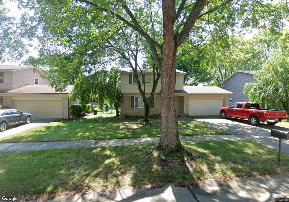
39805 Scottsdale Dr Unit Bldg-Unit Canton, MI 48188
Estimated Value: $321,000 - $435,000
Studio
2
Baths
1,512
Sq Ft
$239/Sq Ft
Est. Value
About This Home
This home is located at 39805 Scottsdale Dr Unit Bldg-Unit, Canton, MI 48188 and is currently estimated at $360,784, approximately $238 per square foot. 39805 Scottsdale Dr Unit Bldg-Unit is a home located in Wayne County with nearby schools including Canton High School, Salem High School, and Plymouth High School.
Ownership History
Date
Name
Owned For
Owner Type
Purchase Details
Closed on
Jun 11, 2018
Sold by
Kermavner David J
Bought by
Warrick Benjamin
Current Estimated Value
Purchase Details
Closed on
Oct 27, 2006
Sold by
Gibeau John and Gibeau Mizuho
Bought by
Kermavner David J
Purchase Details
Closed on
Jun 14, 2000
Sold by
Badges Karen L
Bought by
Gibeau John
Purchase Details
Closed on
Jun 5, 1998
Sold by
Th Krystal K and Th Timothy N
Bought by
Badges Robert S
Purchase Details
Closed on
Nov 3, 1995
Sold by
Th Timothy N and Th Krystal
Bought by
Therrian Timothy N and Therrian Krystal
Create a Home Valuation Report for This Property
The Home Valuation Report is an in-depth analysis detailing your home's value as well as a comparison with similar homes in the area
Home Values in the Area
Average Home Value in this Area
Purchase History
| Date | Buyer | Sale Price | Title Company |
|---|---|---|---|
| Warrick Benjamin | $200,000 | Devon Title Agency | |
| Kermavner David J | $207,500 | Multiple | |
| Gibeau John | $170,000 | -- | |
| Badges Robert S | $140,000 | -- | |
| Therrian Timothy N | $127,500 | -- |
Source: Public Records
Tax History
| Year | Tax Paid | Tax Assessment Tax Assessment Total Assessment is a certain percentage of the fair market value that is determined by local assessors to be the total taxable value of land and additions on the property. | Land | Improvement |
|---|---|---|---|---|
| 2025 | $2,124 | $144,900 | $0 | $0 |
| 2024 | $2,064 | $133,200 | $0 | $0 |
| 2023 | $1,967 | $120,300 | $0 | $0 |
| 2022 | $4,318 | $110,900 | $0 | $0 |
| 2021 | $4,190 | $108,600 | $0 | $0 |
| 2020 | $4,137 | $102,800 | $0 | $0 |
| 2019 | $4,067 | $97,210 | $0 | $0 |
| 2018 | $1,254 | $91,510 | $0 | $0 |
| 2017 | $3,192 | $95,400 | $0 | $0 |
| 2016 | $2,811 | $94,200 | $0 | $0 |
| 2015 | $6,888 | $82,980 | $0 | $0 |
| 2013 | $6,673 | $69,550 | $0 | $0 |
| 2010 | -- | $76,910 | $35,750 | $41,160 |
Source: Public Records
Map
Nearby Homes
- 39209 Nottingham St
- 569 Worthington Rd
- 1260 S John Hix St
- 39615 Kirkland Dr
- 39234 Gloucester St
- 1786 Daisey Ln Unit 32
- 40049 Rolling Green Ct
- 00000 Avondale St
- 2393 Arcadia Dr
- 2087 Arcadia Dr Unit 65
- 41009 Southwind Dr Unit 108
- 352 Cherry Hill Pointe Dr Unit 33
- 0 Cherry Hill Unit 16924
- 41060 Northwind Dr
- 127 S John Hix St
- 41226 Southwind Dr Unit 138
- 41128 Northwind Dr Unit 28
- 2618 Hannan Rd
- 285 Carson Dr Unit 156
- 38249 N Jean Ct
- 39805 Scottsdale Dr
- 39795 Scottsdale Dr
- 39815 Scottsdale Dr Unit Bldg-Unit
- 39815 Scottsdale Dr
- 815 Foothill Rd
- 39783 Scottsdale Dr
- 893 Foothill Rd
- 39804 Scottsdale Dr
- 39814 Scottsdale Dr
- 39794 Scottsdale Dr
- 39771 Scottsdale Dr
- 39782 Scottsdale Dr
- 756 Foothill Dr
- 39588 Dorchester Cir
- 919 Foothill Rd
- 744 Foothill Dr
- 812 Foothill Rd
- 39582 Dorchester Cir
- 39759 Scottsdale Dr
- 768 Foothill Dr
Your Personal Tour Guide
Ask me questions while you tour the home.