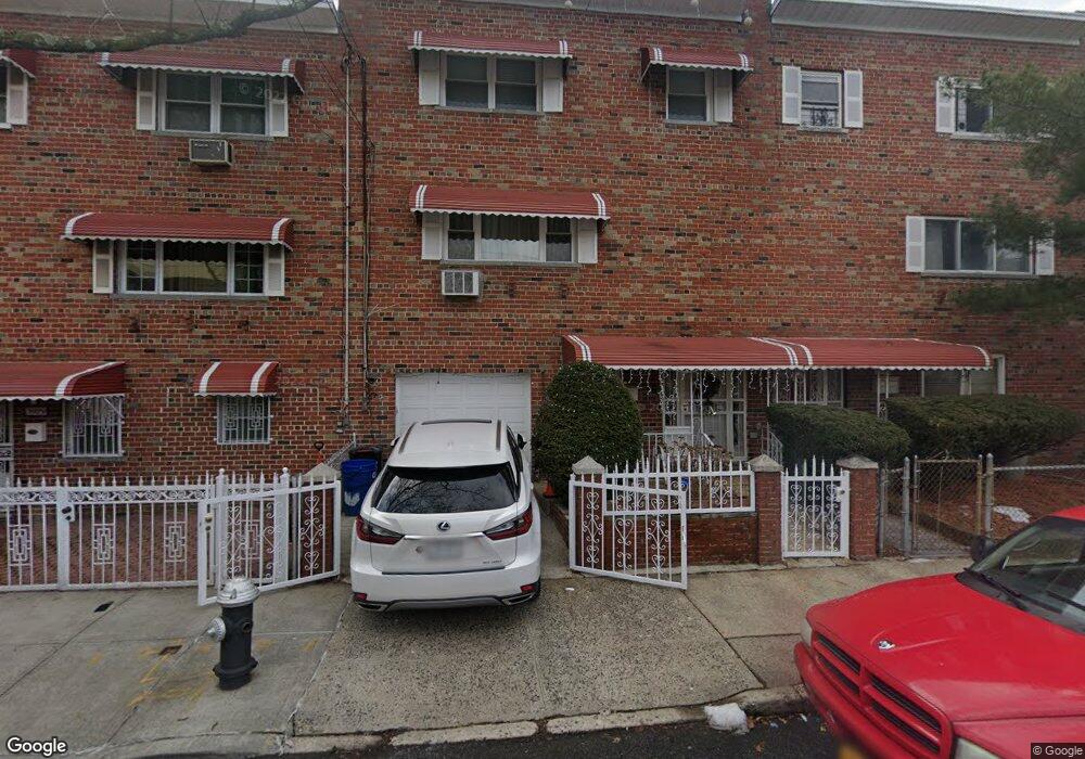
3981 Murdock Ave Bronx, NY 10466
Edenwald NeighborhoodEstimated Value: $532,999 - $649,000
--
Bed
--
Bath
1,744
Sq Ft
$348/Sq Ft
Est. Value
About This Home
This home is located at 3981 Murdock Ave, Bronx, NY 10466 and is currently estimated at $607,000, approximately $348 per square foot. 3981 Murdock Ave is a home located in Bronx County with nearby schools including P.S. 68 - Bronx, One World Middle School At Edenwald, and Baychester Middle School.
Ownership History
Date
Name
Owned For
Owner Type
Purchase Details
Closed on
Jul 14, 2004
Sold by
Chambers Lawrence
Bought by
Jacobs Loisen Harris and Jacobs Shubert
Current Estimated Value
Home Financials for this Owner
Home Financials are based on the most recent Mortgage that was taken out on this home.
Original Mortgage
$255,440
Interest Rate
6.01%
Mortgage Type
Purchase Money Mortgage
Purchase Details
Closed on
Jul 17, 1995
Sold by
Petty Robert Reid
Bought by
Chambers Lawrence
Purchase Details
Closed on
Oct 7, 1993
Sold by
Petty Natasha L and Petty Robert Reid
Bought by
Petty Natasha L and Petty Robert Reid
Create a Home Valuation Report for This Property
The Home Valuation Report is an in-depth analysis detailing your home's value as well as a comparison with similar homes in the area
Home Values in the Area
Average Home Value in this Area
Purchase History
| Date | Buyer | Sale Price | Title Company |
|---|---|---|---|
| Jacobs Loisen Harris | $319,300 | -- | |
| Chambers Lawrence | -- | Commonwealth Land Title Ins | |
| Petty Natasha L | -- | Commonwealth Land Title Insu |
Source: Public Records
Mortgage History
| Date | Status | Borrower | Loan Amount |
|---|---|---|---|
| Previous Owner | Jacobs Loisen Harris | $255,440 |
Source: Public Records
Tax History Compared to Growth
Tax History
| Year | Tax Paid | Tax Assessment Tax Assessment Total Assessment is a certain percentage of the fair market value that is determined by local assessors to be the total taxable value of land and additions on the property. | Land | Improvement |
|---|---|---|---|---|
| 2025 | $5,965 | $31,450 | $6,842 | $24,608 |
| 2024 | $5,965 | $30,499 | $7,332 | $23,167 |
| 2023 | $6,036 | $29,722 | $6,162 | $23,560 |
| 2022 | $5,692 | $30,300 | $7,140 | $23,160 |
| 2021 | $5,773 | $31,380 | $7,140 | $24,240 |
| 2020 | $5,547 | $28,980 | $7,140 | $21,840 |
| 2019 | $5,317 | $25,800 | $7,140 | $18,660 |
| 2018 | $4,751 | $24,768 | $6,729 | $18,039 |
| 2017 | $4,544 | $23,760 | $7,140 | $16,620 |
| 2016 | $4,260 | $22,860 | $7,140 | $15,720 |
| 2015 | $2,549 | $21,840 | $7,920 | $13,920 |
| 2014 | $2,549 | $21,180 | $7,920 | $13,260 |
Source: Public Records
Map
Nearby Homes
- 3943 Hill Ave
- 4016 Wilder Ave
- 3919 Murdock Ave
- 3943 Seton Ave
- 4073 Monticello Ave
- 1405 E 233rd St
- 2181 Strang Ave
- 3963 Duryea Ave
- 4083 de Reimer Ave Unit 4982/51
- 3968 Duryea Ave
- 3964 Duryea Ave
- 1181 Grenada Place
- 3924 Duryea Ave
- 4116 Wilder Ave
- 4118 Hill Ave
- 3919 Pratt Ave
- 32 Duryea Ave
- 4135 Murdock Ave
- 4129 Wilder Ave
- 4051 Grace Ave
- 3979 Murdock Ave
- 3983 Murdock Ave
- 3977 Murdock Ave
- 2062 Strang Ave
- 3975 Murdock Ave
- 2058 Strang Ave
- 3963 Murdock Ave
- 2074 Strang Ave
- 2052 Strang Ave
- 3952 Wilder Ave
- 2065 Strang Ave
- 3959 Murdock Ave
- 3950 Wilder Ave
- 2059-2061 Strang Ave
- 2050 Strang Ave
- 3948 Wilder Ave
- 2073 Strang Ave
- 2057 Strang Ave Unit 1st Fl
- 2057 Strang Ave
- 2057 Strang Ave Unit 2