3982 King Plow Rd Shady Dale, GA 31085
Jasper County NeighborhoodEstimated Value: $300,000 - $676,000
2
Beds
1
Bath
780
Sq Ft
$618/Sq Ft
Est. Value
About This Home
This home is located at 3982 King Plow Rd, Shady Dale, GA 31085 and is currently estimated at $481,804, approximately $617 per square foot. 3982 King Plow Rd is a home with nearby schools including Jasper County Primary School, Washington Park Elementary School, and Jasper County Middle School.
Ownership History
Date
Name
Owned For
Owner Type
Purchase Details
Closed on
Jul 28, 2023
Sold by
Hutchinson Amy
Bought by
Ruffwood Farm Llc
Current Estimated Value
Purchase Details
Closed on
Jun 6, 2014
Sold by
Lane John Hunt
Bought by
Hutchinson Amy and Sorrow Lori Sene
Purchase Details
Closed on
Sep 13, 1999
Sold by
Lane Harriettete
Bought by
Lane John Hunt
Purchase Details
Closed on
Nov 22, 1994
Bought by
Banks O H Estate
Create a Home Valuation Report for This Property
The Home Valuation Report is an in-depth analysis detailing your home's value as well as a comparison with similar homes in the area
Home Values in the Area
Average Home Value in this Area
Purchase History
| Date | Buyer | Sale Price | Title Company |
|---|---|---|---|
| Ruffwood Farm Llc | -- | -- | |
| Hutchinson Amy | $251,405 | -- | |
| Lane John Hunt | -- | -- | |
| Banks O H Estate | -- | -- |
Source: Public Records
Tax History Compared to Growth
Tax History
| Year | Tax Paid | Tax Assessment Tax Assessment Total Assessment is a certain percentage of the fair market value that is determined by local assessors to be the total taxable value of land and additions on the property. | Land | Improvement |
|---|---|---|---|---|
| 2024 | $3,970 | $148,064 | $113,040 | $35,024 |
| 2023 | $3,446 | $127,520 | $113,040 | $14,480 |
| 2022 | $3,487 | $119,280 | $106,240 | $13,040 |
| 2021 | $2,853 | $85,960 | $74,680 | $11,280 |
| 2020 | $2,957 | $85,480 | $74,680 | $10,800 |
| 2019 | $2,807 | $77,560 | $67,240 | $10,320 |
| 2018 | $2,831 | $77,080 | $67,240 | $9,840 |
| 2017 | $2,978 | $79,640 | $67,240 | $12,400 |
| 2016 | $2,956 | $78,480 | $67,240 | $11,240 |
| 2015 | $2,772 | $69,480 | $59,480 | $10,000 |
| 2014 | $945 | $67,120 | $0 | $0 |
Source: Public Records
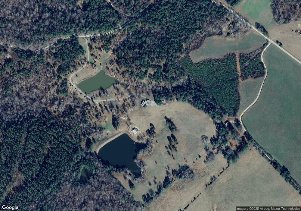
Map
Nearby Homes
- 630 S Railroad St
- 0 Wyatt Rd Unit 10602326
- 0 Georgia 142 Unit B-1 (S-1)
- 0 Georgia 142 Unit B-2 (S-1)
- 22631 N Main St
- 105 Magnolia Dr
- 521 Kline Rd
- LOT 18 Shady Farm Rd
- 0 Post Rd Unit TRACT C 43.44
- 0 Jeffries Rd Unit TRACT A 32.55
- 0 Aikenton Rd Unit 10602329
- 2560 Calvin Rd
- 2941 Little River Rd
- 396 Water Oak Dr
- 1225 Pitts Chapel E
- 637 Holloway Hollow
- 637 Lakeview Dr
- 1111 Rocky Creek Rd
- 359 Oak St
- 14300 Ga Highway 11 N
- 391 Banks Pond Rd
- 3822 King Plow Rd
- 0 King Plow Rd Unit 8360572
- 0 King Plow Rd Unit 13 7594641
- 57 Banks Kelly Rd
- 0 King Plow Rd Unit 22 032 016 8359992
- 0 King Plow Rd Unit 3031603
- 0 King Plow Rd Unit 3222816
- 0 King Plow Rd Unit 7041237
- 0 King Plow Rd Unit 13 7335349
- 0 King Plow Rd Unit 4195917
- 0 King Plow Rd Unit 5012894
- 0 King Plow Rd Unit 3031604
- 0 King Plow Rd Unit 3222812
- 0 King Plow Rd Unit 8253972
- 0 King Plow Rd Unit 8473000
- 0 King Plow Rd Unit 13 8597824
- 0 King Plow Rd Unit 13 8490261
- 4233 King Plow Rd
- 21301 Ga Highway 83 N