3982 N Fulbright Ave Springfield, MO 65803
Estimated Value: $207,000 - $214,000
3
Beds
2
Baths
1,416
Sq Ft
$149/Sq Ft
Est. Value
About This Home
This home is located at 3982 N Fulbright Ave, Springfield, MO 65803 and is currently estimated at $210,950, approximately $148 per square foot. 3982 N Fulbright Ave is a home located in Greene County with nearby schools including Watkins Elementary School, Reed Academy, and Hillcrest High School.
Ownership History
Date
Name
Owned For
Owner Type
Purchase Details
Closed on
Feb 8, 2006
Sold by
Rear Denise
Bought by
Rear Ralph
Current Estimated Value
Purchase Details
Closed on
Apr 28, 2005
Sold by
Rear Ralph and Turner Barton
Bought by
Bothe Erwin A and Ehernberger Assunta M
Home Financials for this Owner
Home Financials are based on the most recent Mortgage that was taken out on this home.
Original Mortgage
$84,333
Outstanding Balance
$44,507
Interest Rate
6.03%
Mortgage Type
FHA
Estimated Equity
$166,443
Create a Home Valuation Report for This Property
The Home Valuation Report is an in-depth analysis detailing your home's value as well as a comparison with similar homes in the area
Home Values in the Area
Average Home Value in this Area
Purchase History
| Date | Buyer | Sale Price | Title Company |
|---|---|---|---|
| Rear Ralph | -- | None Available | |
| Bothe Erwin A | -- | None Available | |
| Rear Ralph | -- | None Available |
Source: Public Records
Mortgage History
| Date | Status | Borrower | Loan Amount |
|---|---|---|---|
| Open | Bothe Erwin A | $84,333 |
Source: Public Records
Tax History Compared to Growth
Tax History
| Year | Tax Paid | Tax Assessment Tax Assessment Total Assessment is a certain percentage of the fair market value that is determined by local assessors to be the total taxable value of land and additions on the property. | Land | Improvement |
|---|---|---|---|---|
| 2025 | $1,017 | $20,070 | $6,370 | $13,700 |
| 2024 | $1,017 | $17,560 | $4,470 | $13,090 |
| 2023 | $1,011 | $17,560 | $4,470 | $13,090 |
| 2022 | $953 | $16,210 | $4,470 | $11,740 |
| 2021 | $911 | $16,210 | $4,470 | $11,740 |
| 2020 | $942 | $15,910 | $4,470 | $11,440 |
| 2019 | $916 | $15,910 | $4,470 | $11,440 |
| 2018 | $919 | $15,890 | $4,470 | $11,420 |
| 2017 | $911 | $15,130 | $4,470 | $10,660 |
| 2016 | $866 | $15,130 | $4,470 | $10,660 |
| 2015 | $859 | $15,130 | $4,470 | $10,660 |
| 2014 | $864 | $15,130 | $4,470 | $10,660 |
Source: Public Records
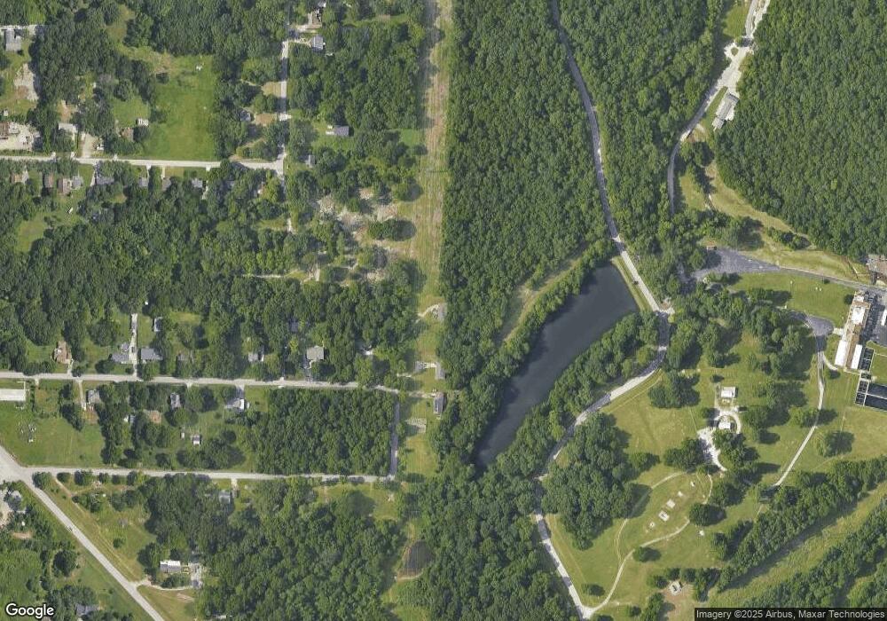
Map
Nearby Homes
- 3671 N Farm Road 147
- 3879 N Williams Ct
- 3877 N Daniels Ct
- 3486 N Farm Road 143
- 1352 W Vancouver St
- 1158 W Bradley St
- 2586 E Theran Ave Unit (Ph 1, Lot 14)
- Lot 6 N Farm Rd 139
- 000 Highland Acres
- Lot 4 N Farm Rd 139
- 2750 W Bonita St
- 3891 N Spring Branch Ave
- 3714 N Mount Zion Ct
- 845 W Farm Road 96
- 3740 N Oak Point Ave
- 3645 N Oak Point Ave
- 3582 N Thistlewood Ct
- 1942 W McCanse St
- 611 W Bridgewood Ct
- 1632 N Grant Ave
- 3974 N Fulbright Ave
- 1902 W Farm Road 100
- 1977 W Farm Road 98
- 4026 N Farm Road 145
- Lot 30 N U Dr
- 1904 W Farm Road 100
- 2011 W Farm Road 98
- 4044 N Farm Road 145
- 2008 W Farm Road 96
- 4124 N Farm Road 145
- 2022 W Farm Road 98
- 2039 N U Dr
- 2018 W Farm Road 96
- 2039 W Farm Road 98
- 2028 W Farm Road 96
- 4125 N Farm Road 145
- 2050 W Farm Road 98
- 2109 W Farm Road 98
- 4174 N Farm Road 145
- 2040 W Farm Road 96