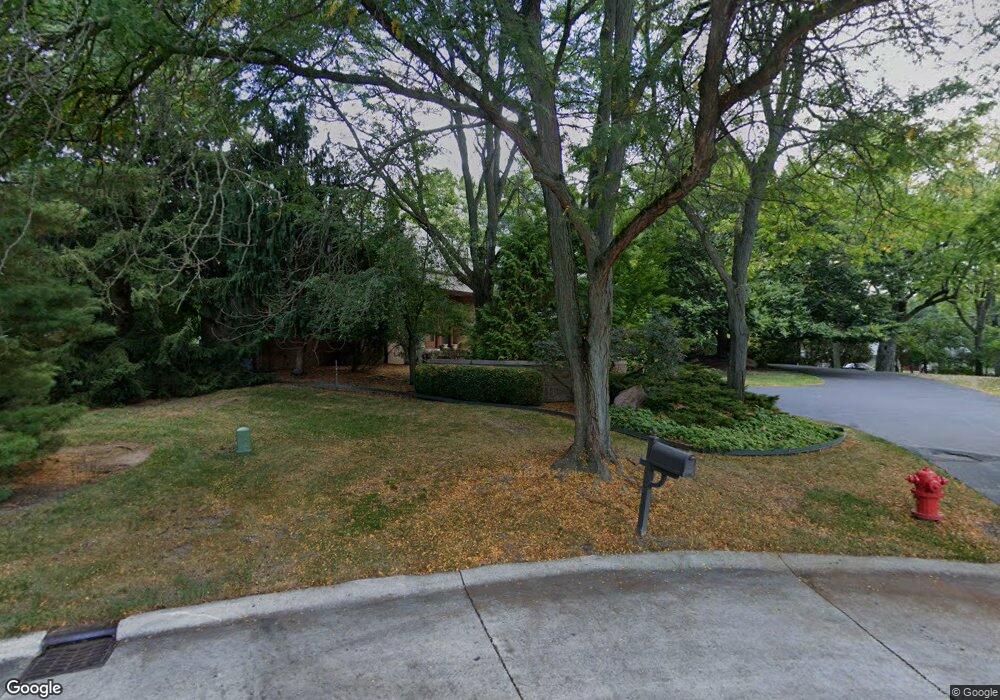
3984 Columbia Dr Bloomfield Hills, MI 48302
Estimated Value: $1,088,000 - $1,193,395
4
Beds
5
Baths
4,144
Sq Ft
$279/Sq Ft
Est. Value
About This Home
This home is located at 3984 Columbia Dr, Bloomfield Hills, MI 48302 and is currently estimated at $1,155,849, approximately $278 per square foot. 3984 Columbia Dr is a home located in Oakland County with nearby schools including West Hills Middle School, Bloomfield Hills High School, and Bloomfield Christian School.
Ownership History
Date
Name
Owned For
Owner Type
Purchase Details
Closed on
Sep 22, 2009
Sold by
Wesley Sterling J and Wesley Vanessa T
Bought by
Jia Phillip L and Wang May
Current Estimated Value
Home Financials for this Owner
Home Financials are based on the most recent Mortgage that was taken out on this home.
Original Mortgage
$513,750
Interest Rate
5.19%
Mortgage Type
New Conventional
Purchase Details
Closed on
Sep 17, 1998
Sold by
Sakwa Marc
Bought by
Baziuk Leonard W
Create a Home Valuation Report for This Property
The Home Valuation Report is an in-depth analysis detailing your home's value as well as a comparison with similar homes in the area
Home Values in the Area
Average Home Value in this Area
Purchase History
| Date | Buyer | Sale Price | Title Company |
|---|---|---|---|
| Jia Phillip L | $685,000 | None Available | |
| Baziuk Leonard W | -- | -- |
Source: Public Records
Mortgage History
| Date | Status | Borrower | Loan Amount |
|---|---|---|---|
| Previous Owner | Jia Phillip L | $513,750 |
Source: Public Records
Tax History Compared to Growth
Tax History
| Year | Tax Paid | Tax Assessment Tax Assessment Total Assessment is a certain percentage of the fair market value that is determined by local assessors to be the total taxable value of land and additions on the property. | Land | Improvement |
|---|---|---|---|---|
| 2024 | $6,883 | $579,660 | $0 | $0 |
| 2023 | $6,661 | $526,350 | $0 | $0 |
| 2022 | $12,517 | $465,680 | $0 | $0 |
| 2021 | $12,427 | $444,000 | $0 | $0 |
| 2020 | $6,092 | $448,420 | $0 | $0 |
| 2019 | $11,693 | $426,360 | $0 | $0 |
| 2018 | $11,747 | $421,570 | $0 | $0 |
| 2017 | $11,662 | $421,290 | $0 | $0 |
| 2016 | $11,684 | $396,260 | $0 | $0 |
| 2015 | -- | $387,640 | $0 | $0 |
| 2014 | -- | $360,160 | $0 | $0 |
| 2011 | -- | $290,620 | $0 | $0 |
Source: Public Records
Map
Nearby Homes
- 1567 Island Ln
- 4123 Chimney Point Dr
- 1795 Golf Ridge Dr Unit 19
- 1612 Apple Ln
- 1723 Heron Ridge Dr
- 1729 Heron Ridge Dr
- 1735 Heron Ridge Dr
- 1853 W Bend Dr
- 1744 Heron Ridge Dr
- 1887 Harvest Ln
- 1347 N Carillon Ct
- 00 Mohawk Ct
- 2668 Turtle Lake
- VL Lahser Road Lot 76
- 0001 Mohawk Ct
- 4535 Grindley Ct
- 1732 Blair House Ct
- 4033 Fox Lake Dr
- 1772 Heron Ridge Dr
- 1992 Bent Tree Trail
- 3800 Kirkway Rd
- 3970 Columbia Dr
- 3855 Kirkway Rd
- 3791 Kirkway Rd
- 3825 Kirkway Rd
- 3971 Columbia Dr
- 3956 Columbia Ct
- 3849 Glen Falls Dr
- 3784 Princeton Ct
- 1680 Standish Ct
- 3871 Glen Falls Dr
- 3925 Columbia Dr
- 3787 Princeton Ct
- 1620 Standish Ct
- 3942 Columbia Ct
- 3893 Glen Falls Dr
- 1697 Kirkway Ln
- 1685 Kirkway Ln
- 3827 Glen Falls Dr
- 3770 Princeton Ct