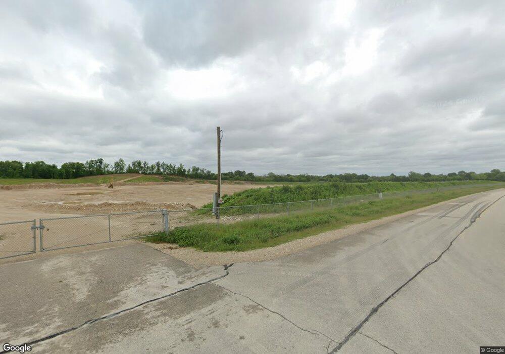
3984 Fond du Lac Dr Richfield, WI 53076
Estimated Value: $1,185,731
--
Bed
--
Bath
--
Sq Ft
4.56
Acres
About This Home
This home is located at 3984 Fond du Lac Dr, Richfield, WI 53076 and is currently estimated at $1,185,731. 3984 Fond du Lac Dr is a home located in Washington County with nearby schools including Slinger High School and St Peter Elementary School.
Ownership History
Date
Name
Owned For
Owner Type
Purchase Details
Closed on
Sep 2, 2015
Sold by
Nowak Walter A and Nowak Janice C
Bought by
The Wissota Sand And Gravel Co
Current Estimated Value
Purchase Details
Closed on
Sep 13, 2013
Sold by
Nowak Walter A and Nowak Janice C
Bought by
The Wissota Sand & Gravel Company
Home Financials for this Owner
Home Financials are based on the most recent Mortgage that was taken out on this home.
Original Mortgage
$300,000
Interest Rate
4.38%
Mortgage Type
New Conventional
Create a Home Valuation Report for This Property
The Home Valuation Report is an in-depth analysis detailing your home's value as well as a comparison with similar homes in the area
Home Values in the Area
Average Home Value in this Area
Purchase History
| Date | Buyer | Sale Price | Title Company |
|---|---|---|---|
| The Wissota Sand And Gravel Co | $93,000 | None Available | |
| The Wissota Sand & Gravel Company | $550,000 | None Available |
Source: Public Records
Mortgage History
| Date | Status | Borrower | Loan Amount |
|---|---|---|---|
| Previous Owner | The Wissota Sand & Gravel Company | $300,000 |
Source: Public Records
Tax History Compared to Growth
Tax History
| Year | Tax Paid | Tax Assessment Tax Assessment Total Assessment is a certain percentage of the fair market value that is determined by local assessors to be the total taxable value of land and additions on the property. | Land | Improvement |
|---|---|---|---|---|
| 2024 | $222 | $27,000 | $27,000 | $0 |
| 2023 | $205 | $27,000 | $27,000 | $0 |
| 2022 | $241 | $22,800 | $22,800 | $0 |
| 2021 | $241 | $22,800 | $22,800 | $0 |
| 2020 | $240 | $22,800 | $22,800 | $0 |
| 2019 | $237 | $22,800 | $22,800 | $0 |
| 2018 | $3,246 | $295,200 | $113,300 | $181,900 |
| 2017 | $3,306 | $295,200 | $113,300 | $181,900 |
| 2016 | $3,299 | $295,200 | $113,300 | $181,900 |
| 2015 | $3,219 | $283,600 | $109,600 | $174,000 |
| 2014 | $3,219 | $292,800 | $119,800 | $173,000 |
| 2013 | $3,556 | $307,200 | $133,400 | $173,800 |
Source: Public Records
Map
Nearby Homes
- 1900 Hillside Rd
- 2300 Sherman Rd
- 4229 Sherman Rd
- 3790 Sherman Rd
- 4455 Club Dr
- 3053 Bogey Ln
- 3555 Hillside Rd
- Madison II Plan at Cedar Creek Estates
- Prairiefield II Plan at Cedar Creek Estates
- McKinley I Plan at Cedar Creek Estates
- The Walnut Plan at Cedar Creek Estates
- The Juneberry Plan at Cedar Creek Estates
- Savannah Plan at Cedar Creek Estates
- Hampton Ridge Plan at Cedar Creek Estates
- Jefferson I Plan at Cedar Creek Estates
- Wakefield Plan at Cedar Creek Estates
- 497 Limestone Ln
- Breckenridge I Plan at Cedar Creek Estates
- Hampton Bay Plan at Cedar Creek Estates
- Madison IV Plan at Cedar Creek Estates
- 3974 Fond du Lac Dr
- 3176 State Road 175
- 2165 Sunny Slope Ct
- 3178 State Road 175
- 2160 Sunny Slope Ct
- 2140 Sunny Slope Ct
- 2245 Farmlane Dr
- 2495 Sunrise Ct
- 3030 Hillside Rd
- 2125 Sunny Slope Ct
- 2120 Sunny Slope Ct
- 2205 Farmlane Dr
- 2165 Farmlane Dr
- 2250 Farmlane Dr
- 2065 Grandview Dr
- 2105 Sunny Slope Ct
- 2055 Grandview Dr
- 2040 Grandview Dr
- 2100 Sunny Slope Ct
- 2075 Grandview Dr