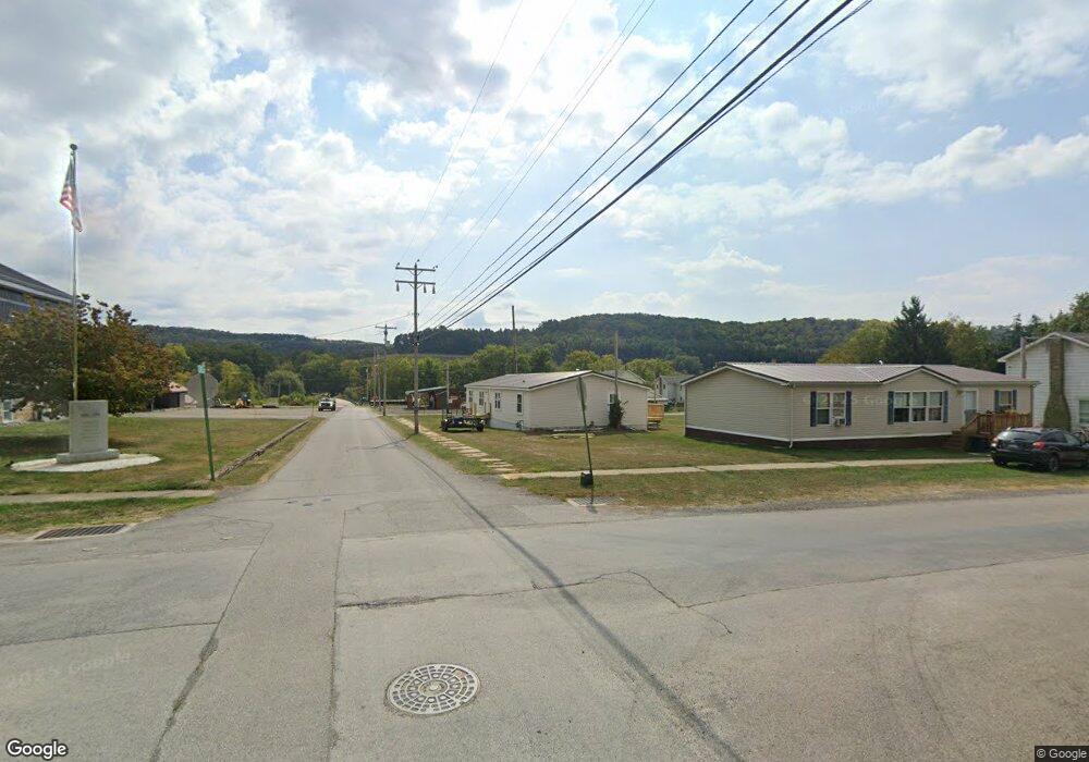
3984 Main St Hawthorn, PA 16230
Estimated Value: $117,000 - $180,000
3
Beds
2
Baths
1,782
Sq Ft
$84/Sq Ft
Est. Value
About This Home
This home is located at 3984 Main St, Hawthorn, PA 16230 and is currently estimated at $150,333, approximately $84 per square foot. 3984 Main St is a home located in Clarion County with nearby schools including Redbank Valley Intermediate School, Redbank Valley Primary School, and Redbank Valley High School.
Ownership History
Date
Name
Owned For
Owner Type
Purchase Details
Closed on
Apr 18, 2008
Sold by
Rupp Alan L and Rupp Mellissa A
Bought by
Rupp Alan L and Rupp Mellissa A
Current Estimated Value
Home Financials for this Owner
Home Financials are based on the most recent Mortgage that was taken out on this home.
Original Mortgage
$124,000
Outstanding Balance
$78,631
Interest Rate
5.99%
Mortgage Type
Future Advance Clause Open End Mortgage
Estimated Equity
$71,702
Create a Home Valuation Report for This Property
The Home Valuation Report is an in-depth analysis detailing your home's value as well as a comparison with similar homes in the area
Home Values in the Area
Average Home Value in this Area
Purchase History
| Date | Buyer | Sale Price | Title Company |
|---|---|---|---|
| Rupp Alan L | -- | -- |
Source: Public Records
Mortgage History
| Date | Status | Borrower | Loan Amount |
|---|---|---|---|
| Open | Rupp Alan L | $124,000 |
Source: Public Records
Tax History Compared to Growth
Tax History
| Year | Tax Paid | Tax Assessment Tax Assessment Total Assessment is a certain percentage of the fair market value that is determined by local assessors to be the total taxable value of land and additions on the property. | Land | Improvement |
|---|---|---|---|---|
| 2025 | $2,536 | $31,268 | $1,380 | $29,888 |
| 2024 | $2,490 | $31,268 | $1,380 | $29,888 |
| 2023 | $2,403 | $31,268 | $1,380 | $29,888 |
| 2022 | $2,337 | $31,268 | $1,380 | $29,888 |
| 2021 | $1,308 | $18,398 | $1,380 | $17,018 |
| 2020 | $1,739 | $27,760 | $1,380 | $26,380 |
| 2019 | $1,739 | $27,760 | $1,380 | $26,380 |
| 2018 | $1,708 | $27,760 | $1,380 | $26,380 |
| 2017 | $1,668 | $27,760 | $1,380 | $26,380 |
| 2016 | $1,694 | $27,760 | $1,380 | $26,380 |
| 2014 | -- | $27,760 | $1,380 | $26,380 |
Source: Public Records
Map
Nearby Homes
- 4161 Maple St
- 128 S Hawthorne Dr
- 3711 Brookville St
- 4239 Brookville St
- 1263 Wiants Ln
- 6071 Rt 28
- 914 Oak Ridge Rd
- 00 Lower Mudlic Rd
- 000 Lower Mudlic Rd
- Lot 5 Sherman Heights
- 2577 Dayton Rd
- 561 Punxsy Rd
- 519 Wood St
- 416 Penn St
- 561 Pennsylvania 536
- 680 Route 536
- 668 Route 536
- 127 Penn St
- 319 Farm Rd
- 668 Pennsylvania 536
- 3984 Main St
- 3970 Main St
- 3987 Main St
- 4007 Main St
- 3971 Main St
- 4015 Main St
- 3990 Brookville St
- 4019 Brookville St
- 4739 Brookville St
- 1096 Cedar St
- 4853 Brookville St
- 4244 Main St
- 1430 Truittsburg Rd
- 4805 Brookville St
- 4242 Maple St
- 1078 Main St
- 4030 Main St
- 3940 Main St
- 4025 Main St
- 3969 Brookville St