Estimated Value: $209,352 - $245,000
3
Beds
1
Bath
1,864
Sq Ft
$124/Sq Ft
Est. Value
About This Home
This home is located at 39840 La Camp Ave, Howe, OK 74940 and is currently estimated at $230,338, approximately $123 per square foot. 39840 La Camp Ave is a home with nearby schools including Howe Elementary School and Howe High School.
Ownership History
Date
Name
Owned For
Owner Type
Purchase Details
Closed on
Jun 10, 2013
Sold by
Dobing Ervin and Dobing Betty L
Bought by
Williams Ronald Darren and Williams Venita
Current Estimated Value
Purchase Details
Closed on
Aug 19, 2008
Sold by
Williams Ronald Darren
Bought by
Williams Ronald Darren and Williams Venita
Purchase Details
Closed on
Jun 17, 2008
Sold by
Williams Ronald Darren
Bought by
Williams Ronald Darren and Williams Venita
Home Financials for this Owner
Home Financials are based on the most recent Mortgage that was taken out on this home.
Original Mortgage
$92,000
Interest Rate
6.38%
Mortgage Type
New Conventional
Create a Home Valuation Report for This Property
The Home Valuation Report is an in-depth analysis detailing your home's value as well as a comparison with similar homes in the area
Home Values in the Area
Average Home Value in this Area
Purchase History
| Date | Buyer | Sale Price | Title Company |
|---|---|---|---|
| Williams Ronald Darren | -- | None Available | |
| Williams Ronald Darren | -- | -- | |
| Williams Ronald Darren | -- | -- | |
| Williams Ronald Darren | -- | -- |
Source: Public Records
Mortgage History
| Date | Status | Borrower | Loan Amount |
|---|---|---|---|
| Previous Owner | Williams Ronald Darren | $92,000 |
Source: Public Records
Tax History Compared to Growth
Tax History
| Year | Tax Paid | Tax Assessment Tax Assessment Total Assessment is a certain percentage of the fair market value that is determined by local assessors to be the total taxable value of land and additions on the property. | Land | Improvement |
|---|---|---|---|---|
| 2025 | $1,425 | $17,311 | $440 | $16,871 |
| 2023 | $1,425 | $15,702 | $880 | $14,822 |
| 2022 | $1,306 | $14,954 | $880 | $14,074 |
| 2021 | $1,239 | $14,242 | $880 | $13,362 |
| 2020 | $1,186 | $13,564 | $880 | $12,684 |
| 2019 | $1,133 | $12,918 | $880 | $12,038 |
| 2018 | $1,083 | $12,303 | $880 | $11,423 |
| 2017 | $1,033 | $11,717 | $880 | $10,837 |
| 2016 | $994 | $11,159 | $880 | $10,279 |
| 2015 | $946 | $10,628 | $880 | $9,748 |
| 2014 | $915 | $10,122 | $880 | $9,242 |
Source: Public Records
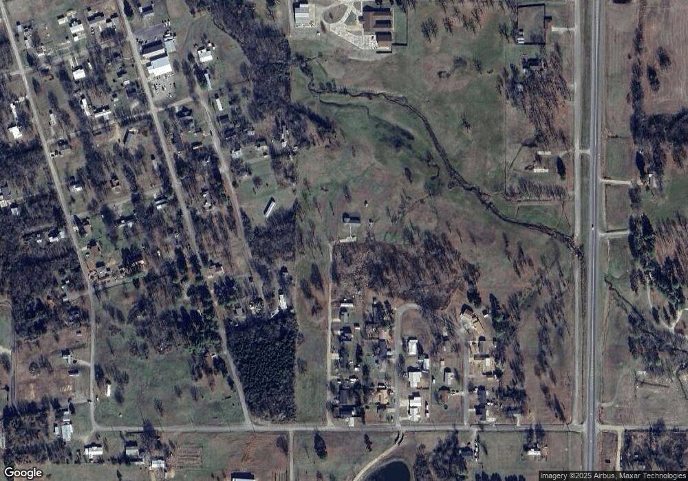
Map
Nearby Homes
- 39897 Drury Ln
- 21415 6th St
- 21406 6th St
- 39689 Texas Ave
- 0 Choctaw Ave
- 40834 Old Pike Rd
- 21686 Cedar Hill Dr
- TBD Old Us Highway 59
- 21707 Ivy St
- 39767 Cedar Hills Cir
- 39767 Cedar Hill Cir
- 40501 210th Ave
- 130 Nobles Rd
- 21580 Ranch Rd
- 20864 Luton Ln
- TBD Scenic View Dr
- TBD Smokey Ln
- 21703 Smokey Ln
- 20501 Old Pike Rd
- TBD Old Pike Rd
- 39648 208th Ave
- 39895 W Drury Ln
- 39878 Chickasaw St
- TBD Lacamp St
- 39911 W Drury Ln
- 39920 La Camp Ave
- 39782 Chickasaw St
- 39929 W Drury Ln
- 39922 W Drury Ln
- 39884 Texas Ave
- 39940 Lacamp St
- 39940 La Camp Ave
- NA Chickasaw Ave
- 39876 Texas Ave at 7th St
- 39908 Texas Ave
- 39939 W Drury Ln
- 398120 Texas Ave
- 39742 Chickasaw St
- 39870 Texas Ave
- 39907 E Drury Ln