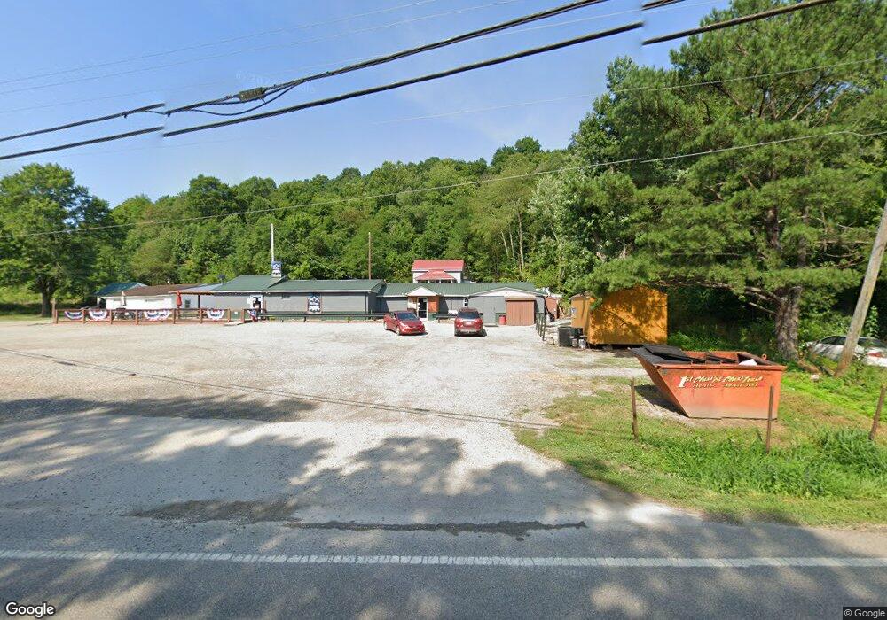
39841 State Route 143 Pomeroy, OH 45769
Estimated Value: $46,000 - $65,000
--
Bed
1
Bath
608
Sq Ft
$97/Sq Ft
Est. Value
About This Home
This home is located at 39841 State Route 143, Pomeroy, OH 45769 and is currently estimated at $59,073, approximately $97 per square foot. 39841 State Route 143 is a home located in Meigs County with nearby schools including Meigs Primary School, Meigs Intermediate School, and Meigs Middle School.
Ownership History
Date
Name
Owned For
Owner Type
Purchase Details
Closed on
Apr 17, 2023
Sold by
Wilson Wesley
Bought by
Stewart Colton L T and Stewart Cody L
Current Estimated Value
Home Financials for this Owner
Home Financials are based on the most recent Mortgage that was taken out on this home.
Original Mortgage
$89,609
Outstanding Balance
$81,195
Interest Rate
7.75%
Mortgage Type
Credit Line Revolving
Estimated Equity
-$22,122
Purchase Details
Closed on
Mar 19, 2018
Sold by
Ingels John C and Ingels Glenna J
Bought by
Wilson Wesley
Purchase Details
Closed on
Aug 3, 1993
Bought by
Ingels Glenna J Ingels John C
Create a Home Valuation Report for This Property
The Home Valuation Report is an in-depth analysis detailing your home's value as well as a comparison with similar homes in the area
Home Values in the Area
Average Home Value in this Area
Purchase History
| Date | Buyer | Sale Price | Title Company |
|---|---|---|---|
| Stewart Colton L T | $65,000 | None Listed On Document | |
| Stewart Colton L T | $65,000 | None Listed On Document | |
| Wilson Wesley | $40,000 | None Listed On Document | |
| Wilson Wesley | $40,000 | None Listed On Document | |
| Wilson Wesley | $40,000 | None Available | |
| Ingels Glenna J Ingels John C | $12,000 | -- |
Source: Public Records
Mortgage History
| Date | Status | Borrower | Loan Amount |
|---|---|---|---|
| Open | Stewart Colton L T | $89,609 | |
| Closed | Stewart Colton L T | $89,609 |
Source: Public Records
Tax History Compared to Growth
Tax History
| Year | Tax Paid | Tax Assessment Tax Assessment Total Assessment is a certain percentage of the fair market value that is determined by local assessors to be the total taxable value of land and additions on the property. | Land | Improvement |
|---|---|---|---|---|
| 2024 | $452 | $14,890 | $5,250 | $9,640 |
| 2023 | $452 | $14,890 | $5,250 | $9,640 |
| 2022 | $457 | $14,890 | $5,250 | $9,640 |
| 2021 | $509 | $14,330 | $5,250 | $9,080 |
| 2020 | $512 | $14,330 | $5,250 | $9,080 |
| 2019 | $512 | $14,330 | $5,250 | $9,080 |
| 2018 | $531 | $15,010 | $2,630 | $12,380 |
| 2017 | $531 | $15,010 | $2,630 | $12,380 |
| 2016 | $525 | $15,010 | $2,630 | $12,380 |
| 2014 | $512 | $13,600 | $2,630 | $10,970 |
| 2013 | $512 | $13,600 | $2,630 | $10,970 |
Source: Public Records
Map
Nearby Homes
- 102 Holly Ln
- 104 Terrell Dr
- 653 Osborne St
- 0 Lincoln Dr
- 113 Wehe Terrace
- 32290 Bailey Run Rd
- 33475 Bailey Run Rd
- 336 Lasley St
- 0 Lincoln Heights Unit 2433021
- 213 Mulberry Ave
- 148 Lincoln Hill
- 5 Oak St
- 6 Cave St
- State Route 124
- 421 1/2 W Main St
- 39059 Ohio 143
- 6 Fisher St
- 8 Liberty Ln
- 31365 T-174
- 537 2nd St
- 39841 State Route 143
- 39822 State Route 143
- 39805 State Route 143
- 39814 Ohio 143
- 39925 State Route 143
- 39791 State Route 143
- 39941 State Route 143
- 32727 Collins Rd
- 39841 Ohio 143
- 32762 Collins Rd
- 39724 State Route 143
- 32800 Collins Rd
- 39710 State Route 143
- 32831 Collins Rd
- 31805 Ohio 7
- 39448 Union Ave
- 39538 Union Ave
- 39520 Union Ave
- 39572 Union Ave
- 39573 Union Ave