39842 Burnside Loop Astoria, OR 97103
Estimated Value: $421,000 - $468,826
About This Home
This home is located at 39842 Burnside Loop, Astoria, OR 97103 and is currently estimated at $451,457, approximately $443 per square foot. 39842 Burnside Loop is a home located in Clatsop County with nearby schools including Hilda Lahti Elementary School and Knappa High School.
Ownership History
We collect this data history from publicly available records. To have your information removed, we recommend requesting removal directly through your county’s website.
Purchase Details
Purchase Details
Home Financials for this Owner
Home Financials are based on the most recent Mortgage that was taken out on this home.Purchase Details
Home Financials for this Owner
Home Financials are based on the most recent Mortgage that was taken out on this home.Purchase Details
Purchase History
We collect this data history from publicly available records. To have your information removed, we recommend requesting removal directly through your county’s website.
| Date | Buyer | Sale Price | Title Company |
|---|---|---|---|
| $425,000 | Ticor Title | ||
| -- | None Available | ||
| $2,765,000 | Ticor Title Co | ||
| -- | None Available |
Mortgage History
We collect this data history from publicly available records. To have your information removed, we recommend requesting removal directly through your county’s website.
| Date | Status | Borrower | Loan Amount |
|---|---|---|---|
| Previous Owner | $264,000 | ||
| Previous Owner | $215,670 |
Tax History
We collect this data history from publicly available records. To have your information removed, we recommend requesting removal directly through your county’s website.
| Year | Tax Paid | Tax Assessment Tax Assessment Total Assessment is a certain percentage of the fair market value that is determined by local assessors to be the total taxable value of land and additions on the property. | Land | Improvement |
|---|---|---|---|---|
| 2025 | $2,357 | $170,775 | -- | -- |
| 2024 | $2,303 | $165,802 | -- | -- |
| 2023 | $2,222 | $160,974 | $0 | $0 |
| 2022 | $2,179 | $156,286 | $0 | $0 |
| 2021 | $1,878 | $168,395 | $0 | $0 |
| 2020 | $1,880 | $145,271 | $0 | $0 |
| 2019 | $1,817 | $141,041 | $0 | $0 |
| 2018 | $1,546 | $122,644 | $0 | $0 |
| 2017 | $1,477 | $119,073 | $0 | $0 |
| 2016 | $1,569 | $115,606 | $28,379 | $87,227 |
| 2015 | $1,517 | $112,240 | $27,553 | $84,687 |
| 2014 | $1,439 | $108,972 | $0 | $0 |
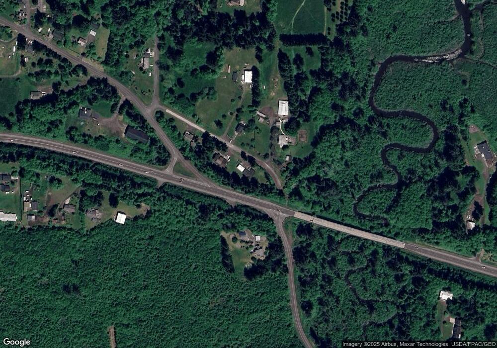
Map
- 92965 Labeck Rd
- 40645 Old Highway 30
- 40078 Brook Ln
- 92768 Pearson Rd
- 92257 Simonsen Rd
- 0 Vl Hillcrest Loop
- 0 Homestead Ln Unit 26-320
- 0 Homestead Ln Unit 627343859
- 92303 Claremont Rd
- 91828 Akerstedt Rd
- 92085 Akerstedt Rd
- 92680 Kumpula Rd
- 0 Highway 30 Unit 469725684
- 0 V L John Day River Rd
- 0 Hawthorne Rd
- 93200 Evergreen Rd
- 41976 Wickiup Terrace Ln
- 43018 Hillcrest Loop
- 42796 Hillcrest Loop
- 93270 Knappa Platt Rd
- 39842 Burnside Loop
- 39836 Burnside Loop
- 40918 Highway 30
- 39837 Burnside Loop
- 39814 Burnside Lp
- 39814 Burnside Loop
- 39861 Burnside Loop Unit 39863
- 39716 Grove Ln
- 39716 Grove Ln
- 39704 Grove Ln
- 39782 Burnside Loop
- VL Adj. Burnside Loop
- 92931 Labeck Rd
- 39765 Burnside Loop
- 92934 Labeck Rd
- 93001 Labeck Rd
- 39686 Grove Ln
- 39734 Burnside Loop
- 41059 Highway 30
- 93005 Labeck Rd
Ask me questions while you tour the home.