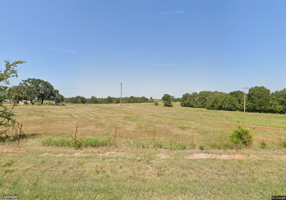
39846 Highway 59b Macomb, OK 74852
Estimated Value: $161,790 - $493,000
1
Bed
1
Bath
976
Sq Ft
$328/Sq Ft
Est. Value
About This Home
This home is located at 39846 Highway 59b, Macomb, OK 74852 and is currently estimated at $320,597, approximately $328 per square foot. 39846 Highway 59b is a home located in Pottawatomie County with nearby schools including Macomb Elementary School and Macomb High School.
Ownership History
Date
Name
Owned For
Owner Type
Purchase Details
Closed on
Nov 25, 2024
Sold by
Williams Aaron Dee and Williams Audra Lea
Bought by
Williams Aaron Dee and Williams Audra Lea
Current Estimated Value
Purchase Details
Closed on
Aug 31, 2022
Sold by
Williams Timothy Wayne
Bought by
Williams Aaron Dee
Create a Home Valuation Report for This Property
The Home Valuation Report is an in-depth analysis detailing your home's value as well as a comparison with similar homes in the area
Home Values in the Area
Average Home Value in this Area
Purchase History
| Date | Buyer | Sale Price | Title Company |
|---|---|---|---|
| Williams Aaron Dee | -- | None Listed On Document | |
| Williams Aaron Dee | -- | None Listed On Document | |
| Williams Aaron Dee | -- | -- |
Source: Public Records
Tax History Compared to Growth
Tax History
| Year | Tax Paid | Tax Assessment Tax Assessment Total Assessment is a certain percentage of the fair market value that is determined by local assessors to be the total taxable value of land and additions on the property. | Land | Improvement |
|---|---|---|---|---|
| 2025 | $239 | $3,113 | $561 | $2,552 |
| 2024 | $232 | $3,022 | $545 | $2,477 |
| 2023 | $232 | $2,935 | $517 | $2,418 |
| 2022 | $225 | $2,849 | $502 | $2,347 |
| 2021 | $219 | $2,849 | $502 | $2,347 |
| 2020 | $212 | $2,685 | $473 | $2,212 |
| 2019 | $206 | $2,607 | $459 | $2,148 |
| 2018 | $200 | $2,531 | $439 | $2,092 |
| 2017 | $194 | $2,458 | $421 | $2,037 |
| 2016 | $189 | $2,386 | $409 | $1,977 |
| 2015 | $183 | $2,317 | $335 | $1,982 |
| 2014 | $178 | $2,250 | $245 | $2,005 |
Source: Public Records
Map
Nearby Homes
- 0 Coker Rd
- 40326 Romulus Rd
- 28275 Harrison Rd
- 0002 Romulus Rd
- 0 N338 Rd
- 0 Gaddy Rd
- 40670 Oklahoma 59b
- 0000 Oklahoma 59b
- 000 Sing Rd
- 30310 Skagg City Rd
- 37271 Romulus Rd
- 0000 SW Rattlesnake Hill Rd
- 0 Sewell Ave
- 0001 Andrson Rd
- 39811 Anderson Rd
- 0000 Gaddy Rd
- 26559 White Oaks Ln
- TBD Tract 1 & 2 E1262 Rd
- 45206 Fairview Rd
- 35721 Honeysuckle Ln
- 39689 Highway 59b
- 39891 Highway 59b
- 28833 Leo Rd Unit MAC
- 28702 Leo Rd
- 00 Arrowhead 17 Acres Rd
- 0 State Highway 59b Unit 1005445
- 00 Arrowhead 23 Acres Rd
- 40255 Highway 59b
- 40255 Highway 59b
- 39490 Highway 59b
- 39457 Highway 59b
- 0 Highway 59b - 229 Acres
- 39248 Highway 59b
- 40483 Highway 59b
- 28287 Leo Rd
- 29599 Leo Rd
- 29532 Arrowhead Rd
- 28246 Leo Rd
- 40255 Arrowhead Rd
