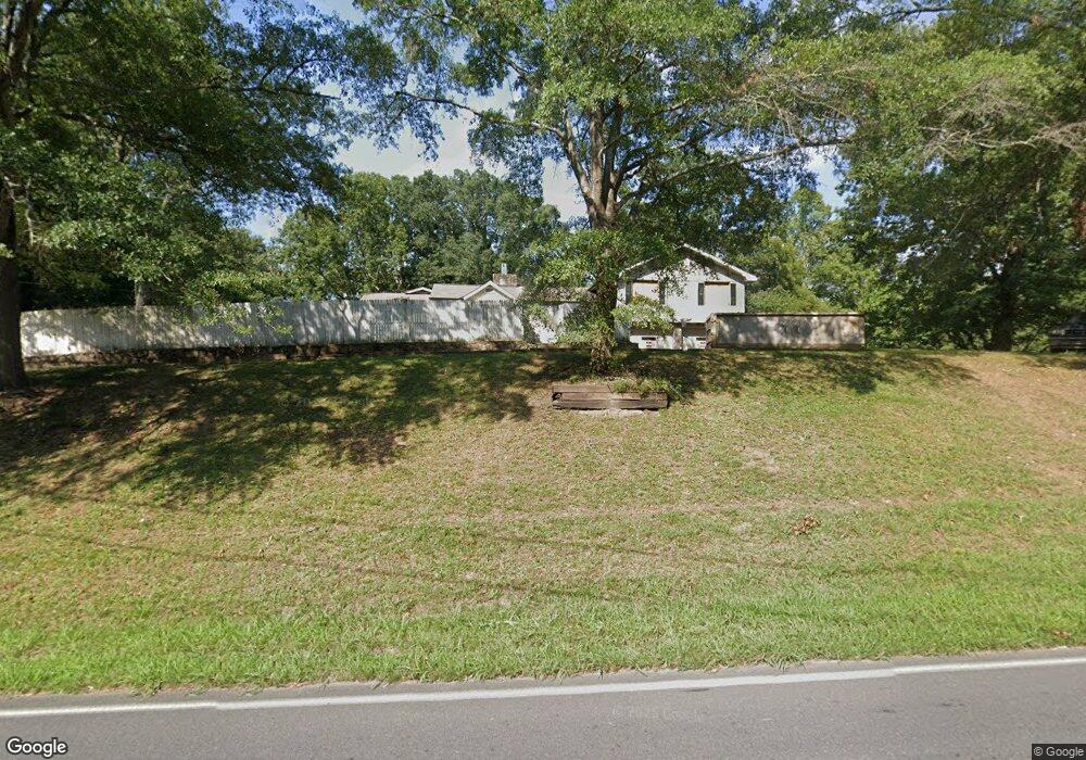
3987 Airport Rd SE Dalton, GA 30721
Estimated Value: $293,864 - $411,000
4
Beds
3
Baths
2,710
Sq Ft
$126/Sq Ft
Est. Value
About This Home
This home is located at 3987 Airport Rd SE, Dalton, GA 30721 and is currently estimated at $340,216, approximately $125 per square foot. 3987 Airport Rd SE is a home located in Whitfield County with nearby schools including Cedar Ridge Elementary School, Eastbrook Middle School, and Southeast Whitfield County High School.
Ownership History
Date
Name
Owned For
Owner Type
Purchase Details
Closed on
Nov 21, 2008
Sold by
Hollingsworth Donald E
Bought by
Smith William F
Current Estimated Value
Home Financials for this Owner
Home Financials are based on the most recent Mortgage that was taken out on this home.
Original Mortgage
$139,900
Interest Rate
6.01%
Mortgage Type
New Conventional
Purchase Details
Closed on
Oct 24, 2003
Sold by
Thornton Annie Jo
Bought by
Hollingsworth Donald E
Create a Home Valuation Report for This Property
The Home Valuation Report is an in-depth analysis detailing your home's value as well as a comparison with similar homes in the area
Home Values in the Area
Average Home Value in this Area
Purchase History
| Date | Buyer | Sale Price | Title Company |
|---|---|---|---|
| Smith William F | $149,900 | -- | |
| Hollingsworth Donald E | $112,000 | -- |
Source: Public Records
Mortgage History
| Date | Status | Borrower | Loan Amount |
|---|---|---|---|
| Closed | Smith William F | $139,900 |
Source: Public Records
Tax History Compared to Growth
Tax History
| Year | Tax Paid | Tax Assessment Tax Assessment Total Assessment is a certain percentage of the fair market value that is determined by local assessors to be the total taxable value of land and additions on the property. | Land | Improvement |
|---|---|---|---|---|
| 2024 | $2,068 | $110,029 | $5,502 | $104,527 |
| 2023 | $2,068 | $74,279 | $3,521 | $70,758 |
| 2022 | $1,230 | $50,262 | $3,455 | $46,807 |
| 2021 | $1,231 | $50,262 | $3,455 | $46,807 |
| 2020 | $1,261 | $50,262 | $3,455 | $46,807 |
| 2019 | $1,276 | $50,262 | $3,455 | $46,807 |
| 2018 | $1,269 | $49,553 | $2,746 | $46,807 |
| 2017 | $1,269 | $49,553 | $2,746 | $46,807 |
| 2016 | $1,105 | $45,317 | $2,746 | $42,571 |
| 2014 | $1,059 | $46,741 | $4,170 | $42,571 |
| 2013 | -- | $46,741 | $4,170 | $42,571 |
Source: Public Records
Map
Nearby Homes
- 3657 Airport Rd
- 01 Headrick Cir SE
- 00 Headrick Cir SE
- 1142 Ben Hill Rd SE
- 2200 Ridge Rd SE
- 760 Keith Rd SE
- 4322 Banks Dr SE
- 185 Cedar Ridge Rd
- 00 Gaines Rd SE
- 1271 Ridge Rd SE
- 4386 Tibbs Bridge Rd SE
- 296 Wagner Dr
- 0 Tibbs Bridge Rd SE
- 00 Tibbs Bridge Rd
- 741 North Dr SE
- 4988 Tibbs Bridge Rd SE
- 00 Hill Rd
- 1401 Eastbrook Dr SE
- 279 Satterfield Rd SE
- TBD Old Grade Rd
- 3900 Airport Rd SE
- 3940 Airport Rd SE
- 3937 Airport Rd SE
- 3937 Airport Rd SE
- 3887 Airport Rd SE
- 3891 Airport Rd SE
- 3880 Airport Rd SE
- 3881 Airport Rd SE
- 3942 Airport Rd SE
- 3966 Airport Rd SE
- 344o Airport Rd
- Lot# 6 Airport Rd
- 000 Airport Rd
- 101 Airport Rd
- 104 Airport Rd
- 110 B Airport Rd
- 106 Airport Rd
- 105 Airport Rd
- 3939 Airport Rd SE
- 3874 Airport Rd SE