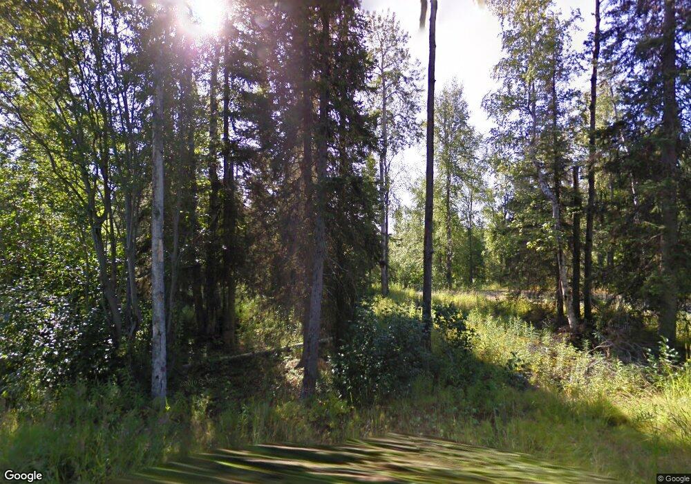
39883 Moose Range Dr Sterling, AK 99672
Estimated Value: $259,016 - $271,000
3
Beds
1
Bath
693
Sq Ft
$382/Sq Ft
Est. Value
About This Home
This home is located at 39883 Moose Range Dr, Sterling, AK 99672 and is currently estimated at $265,008, approximately $382 per square foot. 39883 Moose Range Dr is a home located in Kenai Peninsula Borough with nearby schools including Sterling Elementary School and Soldotna High School.
Ownership History
Date
Name
Owned For
Owner Type
Purchase Details
Closed on
Apr 13, 2021
Sold by
Jones Benjamin M
Bought by
Jones Benjamin M and Jones Melissa K
Current Estimated Value
Purchase Details
Closed on
Oct 14, 2016
Sold by
Jones Benjamin M and Harrell Kelly G
Bought by
Jones Benjamin M
Home Financials for this Owner
Home Financials are based on the most recent Mortgage that was taken out on this home.
Original Mortgage
$52,275
Interest Rate
3.46%
Mortgage Type
Closed End Mortgage
Purchase Details
Closed on
Aug 14, 2006
Sold by
Katzenberger Joseph L and Katzenberger Courtney J
Bought by
Watters Michael L and Watters Helen
Home Financials for this Owner
Home Financials are based on the most recent Mortgage that was taken out on this home.
Original Mortgage
$52,500
Interest Rate
6.76%
Mortgage Type
Purchase Money Mortgage
Create a Home Valuation Report for This Property
The Home Valuation Report is an in-depth analysis detailing your home's value as well as a comparison with similar homes in the area
Home Values in the Area
Average Home Value in this Area
Purchase History
| Date | Buyer | Sale Price | Title Company |
|---|---|---|---|
| Jones Benjamin M | -- | None Listed On Document | |
| Jones Benjamin M | -- | Fatic | |
| Watters Michael L | -- | Mckinley Title & Trust Inc |
Source: Public Records
Mortgage History
| Date | Status | Borrower | Loan Amount |
|---|---|---|---|
| Previous Owner | Jones Benjamin M | $52,275 | |
| Previous Owner | Watters Michael L | $52,500 |
Source: Public Records
Tax History
| Year | Tax Paid | Tax Assessment Tax Assessment Total Assessment is a certain percentage of the fair market value that is determined by local assessors to be the total taxable value of land and additions on the property. | Land | Improvement |
|---|---|---|---|---|
| 2025 | $1,424 | $169,300 | $104,700 | $64,600 |
| 2024 | $712 | $159,600 | $98,200 | $61,400 |
| 2023 | $1,306 | $146,400 | $81,700 | $64,700 |
| 2022 | $969 | $110,600 | $74,500 | $36,100 |
| 2021 | $910 | $102,700 | $66,600 | $36,100 |
| 2020 | $928 | $103,600 | $66,600 | $37,000 |
| 2019 | $921 | $102,800 | $66,600 | $36,200 |
| 2018 | $910 | $101,600 | $66,600 | $35,000 |
| 2017 | $889 | $104,500 | $67,400 | $37,100 |
| 2016 | $768 | $89,000 | $52,300 | $36,700 |
| 2015 | $592 | $91,500 | $56,700 | $34,800 |
| 2014 | $592 | $92,000 | $56,700 | $35,300 |
Source: Public Records
Map
Nearby Homes
- 39705 Moose Range Dr
- Tract V-1A Ten Mar Ave
- L3F1 High Point Ave
- L3F2 High Point Ave
- L3F3 High Point Ave
- L1 Calla Lilly Ct
- 37385 Arctic Tern Rd
- 38775 Sterling Hwy
- 38635 Sterling Hwy
- 38675 Sterling Hwy
- 40165 Sterling Hwy
- 42016 Dolly Varden Way
- 36070 Lakeshore Dr
- 35968 Dayspring St
- 000 Lenora Ct
- L4 Lambeau Ct
- 40550 Franklin Ct
- 36142 Pine St
- 37585 Reminisce Ct
- L3 Erlwein Cir
- 39943 Moose Range Dr
- L12 B5 Moose Range Dr
- 39635 Moose Range Dr
- 39977 Moose Range Dr
- L1A-2 Moose Range Homestead
- 39886 Moose Range Dr
- 39800 Moose Range Dr
- 40063 Moose Range Dr
- 39954 Moose Range Dr
- 39685 Moose Range Dr
- 39665 Moose Range Dr
- 39590 Goshawk Ct
- 40060 Moose Range Dr
- 39585 Goshawk Ct
- 40137 Moose Range Dr
- 39575 Moose Range Dr
- 38160 Sandlin St
- 38160 Sandlin St
- 39585 Goshawk Ct
- 40160 Moose Range Dr
Your Personal Tour Guide
Ask me questions while you tour the home.
