399 E 1700 Rd Baldwin City, KS 66006
Baldwin City AreaEstimated Value: $446,618 - $579,000
About This Home
This home is located at 399 E 1700 Rd, Baldwin City, KS 66006 and is currently estimated at $523,873, approximately $234 per square foot. 399 E 1700 Rd is a home located in Douglas County with nearby schools including Baldwin Elementary Primary Center, Baldwin Elementary Intermediate Center, and Baldwin Junior High School.
Ownership History
We collect this data history from publicly available records. To have your information removed, we recommend requesting removal directly through your county’s website.
Purchase Details
Home Financials for this Owner
Home Financials are based on the most recent Mortgage that was taken out on this home.Home Values in the Area
Average Home Value in this Area
Purchase History
We collect this data history from publicly available records. To have your information removed, we recommend requesting removal directly through your county’s website.
| Date | Buyer | Sale Price | Title Company |
|---|---|---|---|
| -- | Executive Title |
Mortgage History
We collect this data history from publicly available records. To have your information removed, we recommend requesting removal directly through your county’s website.
| Date | Status | Borrower | Loan Amount |
|---|---|---|---|
| Open | $49,000 | ||
| Open | $240,000 | ||
| Closed | $264,000 | ||
| Closed | $45,000 | ||
| Previous Owner | $199,200 |
Tax History
We collect this data history from publicly available records. To have your information removed, we recommend requesting removal directly through your county’s website.
| Year | Tax Paid | Tax Assessment Tax Assessment Total Assessment is a certain percentage of the fair market value that is determined by local assessors to be the total taxable value of land and additions on the property. | Land | Improvement |
|---|---|---|---|---|
| 2025 | $5,394 | $50,925 | $3,847 | $47,078 |
| 2024 | $5,545 | $47,690 | $3,709 | $43,981 |
| 2023 | $5,545 | $47,049 | $3,605 | $43,444 |
| 2022 | $5,189 | $42,512 | $3,433 | $39,079 |
| 2021 | $4,595 | $36,336 | $3,295 | $33,041 |
| 2020 | $4,498 | $35,095 | $3,295 | $31,800 |
| 2019 | $4,292 | $33,423 | $3,260 | $30,163 |
| 2018 | $4,202 | $32,557 | $3,163 | $29,394 |
| 2017 | $4,272 | $31,907 | $3,163 | $28,744 |
| 2016 | $4,017 | $30,405 | $1,610 | $28,795 |
| 2015 | $3,650 | $27,945 | $1,610 | $26,335 |
| 2014 | $3,725 | $27,945 | $1,610 | $26,335 |
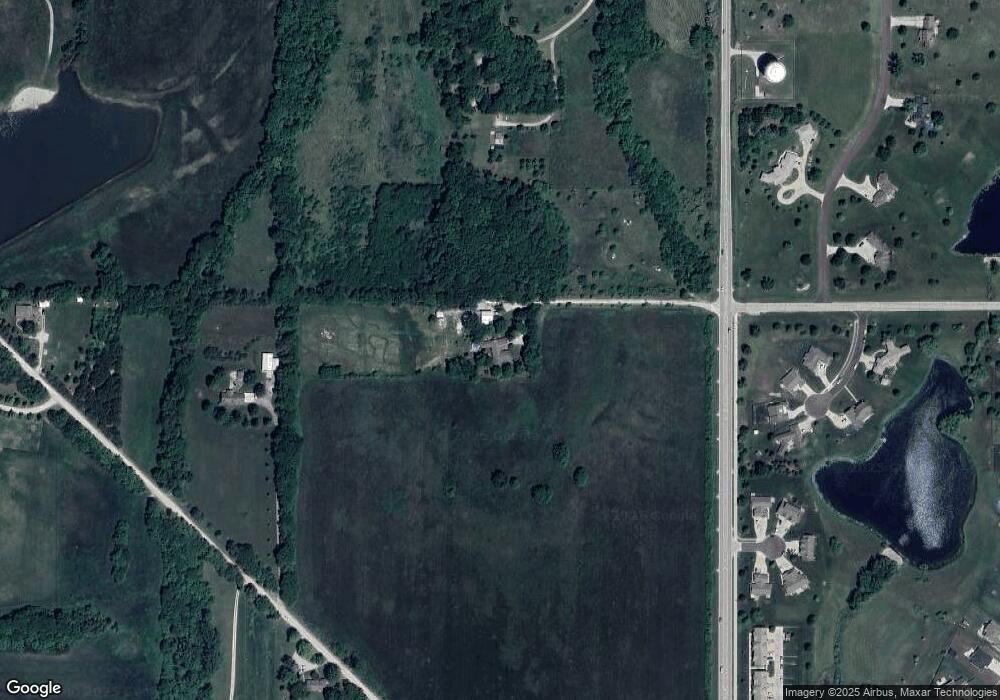
Map
- Lot 6 Block 2 Bluestem Dr
- Lot 7 Block 2 Bluestem Dr
- Lot 12 Block 2 Bluestem Dr
- 1018 Bluestem Cir
- 709 Flame Way
- 1013 Bluestem Dr
- 1134 Bluestem Dr
- 1003 Lisa Ct
- 408 Eisenhower Rd
- 204 Crimson Ave
- 364 E 1600 Rd
- 0000 N 300 Rd
- 403 Baker St
- 321 Dearborn St
- 529 E 1700 Rd
- 920 High St
- 121 Hillside Dr
- 218 Hillside Dr
- 314 Rockers Dr
- 204 E High St
- 399 E 1700 Rd
- 465 E 1700 Rd
- 419 E 1700 Rd
- 1670 N 400 Rd
- 1670 N 400 Rd
- 1205 Long Creek Ct
- 1201 Long Creek Ct
- 1213 Long Creek Ct
- 1209 Long Creek Ct
- 510 Oak Leaf Ct
- 506 Oak Leaf Ct
- 1315 Maple Leaf Ct
- Lot 25 Long Creet Ct
- 0 Long Creek Ct Unit 2083325
- lot 25 Long Creek Ct
- lot 23 Long Creek Ct
- lot 24 Long Creek Ct
- 1208 Long Creek Ct
- 509 Oak Leaf Ct
- 502 Oak Leaf Ct
Ask me questions while you tour the home.