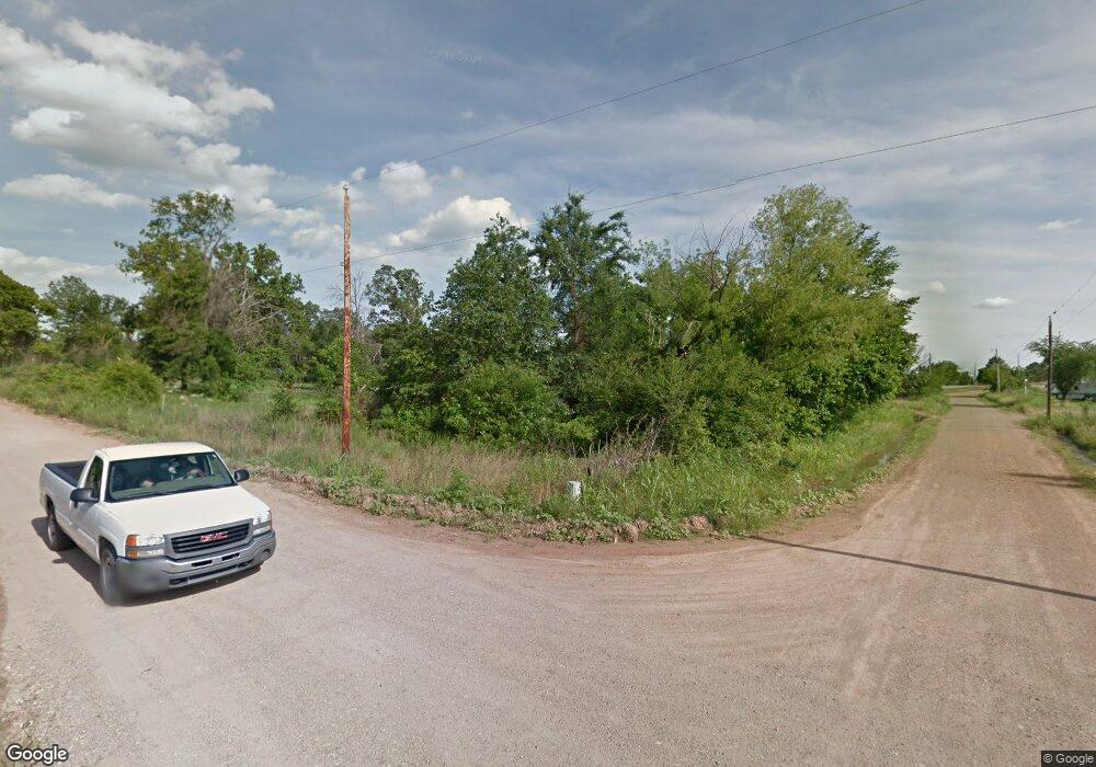
Estimated Value: $122,000 - $223,000
2
Beds
1
Bath
984
Sq Ft
$186/Sq Ft
Est. Value
About This Home
This home is located at 399 E No Name Rd, Atoka, OK 74525 and is currently estimated at $182,630, approximately $185 per square foot. 399 E No Name Rd is a home located in Atoka County with nearby schools including Atoka Elementary School, Atoka High School, and Victory Life Academy of Atoka.
Ownership History
Date
Name
Owned For
Owner Type
Purchase Details
Closed on
Dec 14, 2012
Sold by
Ruby Shown
Bought by
Mosqueda Michael and Mosqueda Shara
Current Estimated Value
Purchase Details
Closed on
Dec 1, 2012
Sold by
Angela Gibson
Bought by
Mosqueda Michael and Mosqueda Shara
Purchase Details
Closed on
Nov 29, 2012
Sold by
William Fisher
Bought by
Mosqueda Michael and Mosqueda Shara
Purchase Details
Closed on
Nov 27, 2012
Sold by
Melissa Santino
Bought by
Mosqueda Michael and Mosqueda Shara
Purchase Details
Closed on
Nov 26, 2012
Sold by
John Fisher
Bought by
Mosqueda Michael and Mosqueda Shara
Purchase Details
Closed on
Nov 24, 2012
Sold by
Leroy Fisher
Bought by
Mosqueda Michael and Mosqueda Shara
Create a Home Valuation Report for This Property
The Home Valuation Report is an in-depth analysis detailing your home's value as well as a comparison with similar homes in the area
Home Values in the Area
Average Home Value in this Area
Purchase History
| Date | Buyer | Sale Price | Title Company |
|---|---|---|---|
| Mosqueda Michael | $5,800 | -- | |
| Mosqueda Michael | $1,900 | -- | |
| Mosqueda Michael | $5,800 | -- | |
| Mosqueda Michael | $1,900 | -- | |
| Mosqueda Michael | $5,800 | -- | |
| Mosqueda Michael | $1,900 | -- | |
| Mosqueda Michael | $5,800 | -- |
Source: Public Records
Tax History Compared to Growth
Tax History
| Year | Tax Paid | Tax Assessment Tax Assessment Total Assessment is a certain percentage of the fair market value that is determined by local assessors to be the total taxable value of land and additions on the property. | Land | Improvement |
|---|---|---|---|---|
| 2024 | $1,616 | $17,155 | $940 | $16,215 |
| 2023 | $1,539 | $16,337 | $760 | $15,577 |
| 2022 | $1,496 | $15,559 | $714 | $14,845 |
| 2021 | $1,455 | $14,819 | $1,645 | $13,174 |
| 2020 | $1,387 | $14,114 | $1,645 | $12,469 |
| 2019 | $1,331 | $13,442 | $1,645 | $11,797 |
| 2018 | $1,260 | $12,802 | $1,645 | $11,157 |
| 2017 | $1,264 | $12,792 | $1,645 | $11,147 |
| 2016 | $1,282 | $13,002 | $1,645 | $11,357 |
| 2015 | $1,289 | $12,991 | $1,645 | $11,346 |
| 2014 | $1,285 | $12,947 | $1,499 | $11,448 |
Source: Public Records
Map
Nearby Homes
- TBD Newman Ave
- 2279 E Decker Dr
- 6676 State Highway 3
- 0 S Gin Rd
- 256 N Kentucky Ave
- 2284 E Roping Rd
- 0 Hwy 69-75 St Unit 2532723
- 824 S California Ave
- 9803 S Cold Springs Rd
- 643 W Cedar St
- 215 N California Ave
- 173 N Minnesota Ave
- 3526 S Mississippi Ave
- 0 S Half Bank Unit 2543004
- 0 S Half Bank Unit 2525754
- 3153 E Boggy Depot Rd
- 1447 S Lowry Ln
- 561 W Redbud Ln
- 0 S Forrest Hill Rd
- 0000 Highway 7
- 4361 E Highway 3
- 32 E Dunbar Cir
- 42 E Dunbar Cir
- 35 E Dunbar Cir
- 9 E Dunbar Cir
- 2030 S Crestview Rd
- 4074 E No Name Rd
- 2084 S Crestview Rd
- 2165 S Crestview Rd
- 4236 E Highway 3
- 4278 E No Name Rd
- 23164 E Highway 3
- 1735 S Crestview Rd
- 4606 E Highway 3
- 4606 E Highway 3
- 23308 E Highway 3
- 22860 E Highway 3
- 23274 E Highway 3
- 22960 E Highway 3
- 22860 E Highway 3
