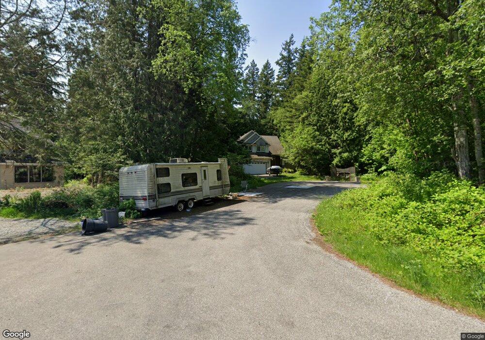
399 George Rd Point Roberts, WA 98281
Estimated Value: $470,835 - $529,000
3
Beds
2
Baths
1,530
Sq Ft
$333/Sq Ft
Est. Value
About This Home
This home is located at 399 George Rd, Point Roberts, WA 98281 and is currently estimated at $508,959, approximately $332 per square foot. 399 George Rd is a home located in Whatcom County with nearby schools including Point Roberts Primary School, Blaine Middle School, and Blaine High School.
Ownership History
Date
Name
Owned For
Owner Type
Purchase Details
Closed on
Dec 20, 2011
Sold by
Fannie Mae
Bought by
Looker Andrew J and Bache Debra L
Current Estimated Value
Purchase Details
Closed on
Aug 19, 2011
Sold by
Cheong Lynnet
Bought by
Federal National Mortgage Association
Purchase Details
Closed on
May 31, 2006
Sold by
Laxton Robert and Laxton Marianne
Bought by
Cheong Lynnet
Home Financials for this Owner
Home Financials are based on the most recent Mortgage that was taken out on this home.
Original Mortgage
$240,000
Interest Rate
6.62%
Mortgage Type
Purchase Money Mortgage
Purchase Details
Closed on
Oct 20, 2003
Sold by
Thomas Richard
Bought by
Laxton Robert and Laxton Marianne
Create a Home Valuation Report for This Property
The Home Valuation Report is an in-depth analysis detailing your home's value as well as a comparison with similar homes in the area
Home Values in the Area
Average Home Value in this Area
Purchase History
| Date | Buyer | Sale Price | Title Company |
|---|---|---|---|
| Looker Andrew J | $200,000 | Chicago Title Insurance | |
| Federal National Mortgage Association | -- | First American Title Ins | |
| Cheong Lynnet | $300,280 | Whatcom Land Title | |
| Laxton Robert | -- | Whatcom Land Title |
Source: Public Records
Mortgage History
| Date | Status | Borrower | Loan Amount |
|---|---|---|---|
| Previous Owner | Cheong Lynnet | $240,000 |
Source: Public Records
Tax History Compared to Growth
Tax History
| Year | Tax Paid | Tax Assessment Tax Assessment Total Assessment is a certain percentage of the fair market value that is determined by local assessors to be the total taxable value of land and additions on the property. | Land | Improvement |
|---|---|---|---|---|
| 2024 | $3,433 | $429,909 | $132,495 | $297,414 |
| 2023 | $3,433 | $417,864 | $120,450 | $297,414 |
| 2022 | $3,165 | $381,611 | $110,000 | $271,611 |
| 2021 | $3,152 | $321,025 | $40,128 | $280,897 |
| 2020 | $3,136 | $297,241 | $37,155 | $260,086 |
| 2019 | $2,905 | $285,121 | $35,640 | $249,481 |
| 2018 | $2,816 | $256,321 | $32,040 | $224,281 |
| 2017 | $2,441 | $244,801 | $30,600 | $214,201 |
| 2016 | $2,633 | $240,001 | $30,000 | $210,001 |
| 2015 | $2,800 | $251,743 | $28,983 | $222,760 |
| 2014 | -- | $263,176 | $30,300 | $232,876 |
| 2013 | -- | $251,328 | $29,100 | $222,228 |
Source: Public Records
Map
Nearby Homes
- 0 X Weasel Run
- 302 Boundary Bay Rd
- 4 Boundary Bay Rd
- Lot 35 Boundary Bay Rd
- 0 Lot 7 Weasel Run Rd
- 6 Weasel Run Rd
- 2138 Benson Rd
- 500 Moose Trail
- 412 High Bluff Dr
- 251 Elizabeth Dr
- Lot 2 Greenwood Dr
- 1976 Cedar Park Dr
- 2149 Seabright Loop
- 2045 Apa Rd
- 103 Goodman Rd
- 2128 Seabright Loop
- lot 14 Cedar Park Dr Unit 14
- 2202 Seabright Loop
- 58 Seabright Loop
- 2145 Fir St
- 395 George Rd
- 2178 Deer Rd
- 2160 Deer Rd
- 385 George Rd
- 3 George Rd
- 2154 Deer Rd
- 379 George Rd
- 2150 Deer Rd
- 420 Weasel Run Unit Lots 4 & 5
- 420 Weasel Rd
- 420 Weasel Run Rd
- 2146 Deer Rd
- 4 Deer Rd
- 1 Boundary Bay Rd
- 0 Lot 14 Bear Spirit Rd
- 2132 Benson Rd
- 0 Weasel Run
- 358 George Rd
- 2175 Bear Trap Rd
- 0 Bear Trap Rd Unit 10454333