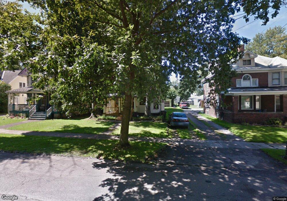
399 Harbor St Conneaut, OH 44030
Estimated Value: $83,000 - $99,000
3
Beds
2
Baths
1,782
Sq Ft
$53/Sq Ft
Est. Value
About This Home
This home is located at 399 Harbor St, Conneaut, OH 44030 and is currently estimated at $93,667, approximately $52 per square foot. 399 Harbor St is a home located in Ashtabula County with nearby schools including Lakeshore Primary Elementary School, Gateway Elementary School, and Conneaut Middle School.
Ownership History
Date
Name
Owned For
Owner Type
Purchase Details
Closed on
Oct 30, 2024
Sold by
Ohio Property Partners Llc
Bought by
Ohio Property Ventures Llc
Current Estimated Value
Purchase Details
Closed on
Feb 23, 2022
Sold by
Legeza Michael D
Bought by
Ohio Property Partners Llc
Create a Home Valuation Report for This Property
The Home Valuation Report is an in-depth analysis detailing your home's value as well as a comparison with similar homes in the area
Home Values in the Area
Average Home Value in this Area
Purchase History
| Date | Buyer | Sale Price | Title Company |
|---|---|---|---|
| Ohio Property Ventures Llc | -- | None Listed On Document | |
| Ohio Property Ventures Llc | -- | None Listed On Document | |
| Ohio Property Ventures Llc | -- | None Listed On Document | |
| Ohio Property Ventures Llc | -- | None Listed On Document | |
| Ohio Property Partners Llc | $145,000 | None Listed On Document |
Source: Public Records
Tax History Compared to Growth
Tax History
| Year | Tax Paid | Tax Assessment Tax Assessment Total Assessment is a certain percentage of the fair market value that is determined by local assessors to be the total taxable value of land and additions on the property. | Land | Improvement |
|---|---|---|---|---|
| 2024 | $594 | $8,120 | $2,520 | $5,600 |
| 2023 | $392 | $8,120 | $2,520 | $5,600 |
| 2022 | $363 | $6,620 | $1,930 | $4,690 |
| 2021 | $369 | $6,620 | $1,930 | $4,690 |
| 2020 | $369 | $6,620 | $1,930 | $4,690 |
| 2019 | $190 | $3,260 | $1,160 | $2,100 |
| 2018 | $277 | $5,080 | $1,160 | $3,920 |
| 2017 | $0 | $5,080 | $1,160 | $3,920 |
| 2016 | $374 | $7,600 | $1,750 | $5,850 |
| 2015 | $378 | $7,600 | $1,750 | $5,850 |
| 2014 | $1,471 | $23,450 | $1,750 | $21,700 |
| 2013 | $891 | $10,370 | $1,650 | $8,720 |
Source: Public Records
Map
Nearby Homes
- 179 Marshall St
- 179 Hayward Ave
- 281 Depot St
- 146 Nickle Plate Ave
- 289 Harbor St
- 448 Sandusky St Unit 450
- 284 Clay St
- 554 Sandusky St
- 536 Mill St
- 533 Mill St
- 459 Mill St
- 381 Bliss Ave
- 630 Mill St
- 405 Bliss Ave
- 644 Mill St
- 429 Depot St
- 688 Grove St
- 169 River St
- 703 Sandusky St
- 0 Chestnut St Unit 5120761
- 405 Harbor St
- 395 Harbor St
- 409 Harbor St
- 389 Harbor St
- 410 Harbor St
- 392 Harbor St
- 413 Harbor St
- 385 Harbor St
- 414 Harbor St
- 414 Harbor St Unit A
- 388 Harbor St
- 419 Harbor St
- 382 Harbor St
- 377 Harbor St
- 416 Washington St
- 418 Harbor St
- 404 Washington St
- 420 Washington St
- 408 Washington St
- 394 Washington St