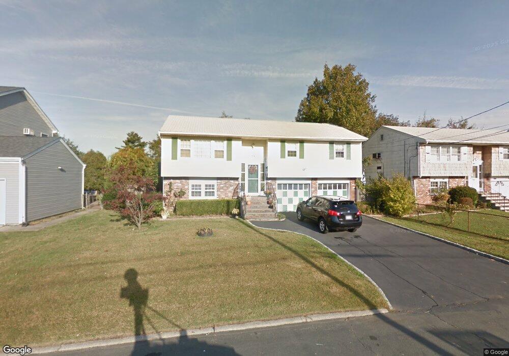
399 Heathcote Rd Lindenhurst, NY 11757
Estimated Value: $562,204 - $724,000
Studio
1
Bath
1,651
Sq Ft
$409/Sq Ft
Est. Value
About This Home
This home is located at 399 Heathcote Rd, Lindenhurst, NY 11757 and is currently estimated at $675,551, approximately $409 per square foot. 399 Heathcote Rd is a home located in Suffolk County with nearby schools including William Rall School, Lindenhurst Middle School, and Lindenhurst Senior High School.
Ownership History
Date
Name
Owned For
Owner Type
Purchase Details
Closed on
Feb 28, 2013
Sold by
Papetti Thomas and Span Maureen
Bought by
Papetti Laura and Slotnick David
Current Estimated Value
Home Financials for this Owner
Home Financials are based on the most recent Mortgage that was taken out on this home.
Original Mortgage
$235,000
Outstanding Balance
$151,544
Interest Rate
2.25%
Mortgage Type
New Conventional
Estimated Equity
$524,007
Purchase Details
Closed on
Apr 29, 2012
Sold by
Papetti Thomas P and Span Maureen
Bought by
Papetti Laura and Span Maureen
Create a Home Valuation Report for This Property
The Home Valuation Report is an in-depth analysis detailing your home's value as well as a comparison with similar homes in the area
Home Values in the Area
Average Home Value in this Area
Purchase History
We collect this data history from publicly available records. To have your information removed, we recommend requesting removal directly through your county’s website.
| Date | Buyer | Sale Price | Title Company |
|---|---|---|---|
| Papetti Laura | $300,000 | -- | |
| Papetti Laura | -- | Fedelity |
Source: Public Records
Mortgage History
We collect this data history from publicly available records. To have your information removed, we recommend requesting removal directly through your county’s website.
| Date | Status | Borrower | Loan Amount |
|---|---|---|---|
| Open | Papetti Laura | $235,000 |
Source: Public Records
Tax History
| Year | Tax Paid | Tax Assessment Tax Assessment Total Assessment is a certain percentage of the fair market value that is determined by local assessors to be the total taxable value of land and additions on the property. | Land | Improvement |
|---|---|---|---|---|
| 2024 | $12,704 | $3,590 | $240 | $3,350 |
| 2023 | $12,704 | $3,590 | $240 | $3,350 |
| 2022 | $10,863 | $3,590 | $240 | $3,350 |
| 2021 | $10,863 | $3,590 | $240 | $3,350 |
| 2020 | $11,414 | $3,590 | $240 | $3,350 |
| 2019 | $11,414 | $0 | $0 | $0 |
| 2018 | $10,791 | $3,590 | $240 | $3,350 |
| 2017 | $10,791 | $3,590 | $240 | $3,350 |
| 2016 | $10,806 | $3,590 | $240 | $3,350 |
| 2015 | -- | $3,590 | $240 | $3,350 |
| 2014 | -- | $3,590 | $240 | $3,350 |
Source: Public Records
Map
Nearby Homes
- 0 Tenety Ave Unit 3461459
- 303 Sherbrooke Rd
- 77 Farmers Ave
- 0 Feustal St Unit KEY979504
- 1012 N Ontario Ave
- 48 Farmers Ave
- 23 Evergreen Dr
- 43 E June St
- 14 Laurel Rd
- 916 N Clinton Ave
- 87 Kellum St
- 933 N Queens Ave
- 831 N Erie Ave
- 21 Robbins St
- 690 N Delaware Ave
- 436 Herzel Blvd
- 295 49th St
- 178 5th Ave
- 644 N Clinton Ave
- 25 Bolton St
- 407 Heathcote Rd
- 393 Heathcote Rd
- 202 Tremont Rd
- 200 Tremont Rd
- 210 Tremont Rd
- 411 Heathcote Rd
- 396 Heathcote Rd
- 404 Heathcote Rd
- 381 Heathcote Rd
- 196 Tremont Rd
- 388 Heathcote Rd
- 412 Heathcote Rd
- 214 Tremont Rd
- 414 Heathcote Rd
- 417 Heathcote Rd
- 384 Heathcote Rd
- 423 Heathcote Rd
- 377 Heathcote Rd
- 180 Tremont Rd
- 191 Tremont Rd
Your Personal Tour Guide
Ask me questions while you tour the home.