399 Osage Trail Maynard, AR 72444
Estimated Value: $192,969 - $218,000
Studio
2
Baths
1,288
Sq Ft
$158/Sq Ft
Est. Value
About This Home
This home is located at 399 Osage Trail, Maynard, AR 72444 and is currently estimated at $203,990, approximately $158 per square foot. 399 Osage Trail is a home located in Randolph County with nearby schools including Maynard Elementary School and Maynard High School.
Ownership History
Date
Name
Owned For
Owner Type
Purchase Details
Closed on
Jul 21, 2010
Bought by
Metheny To Metheny
Current Estimated Value
Purchase Details
Closed on
Oct 16, 2006
Bought by
Metheny To Metheny
Purchase Details
Closed on
Feb 9, 1995
Bought by
Metheny To Metheny
Purchase Details
Closed on
Apr 1, 1991
Bought by
Carpenter To Metheny
Purchase Details
Closed on
Mar 1, 1991
Bought by
Carpenter To Metheny
Create a Home Valuation Report for This Property
The Home Valuation Report is an in-depth analysis detailing your home's value as well as a comparison with similar homes in the area
Purchase History
We collect this data history from publicly available records. To have your information removed, we recommend requesting removal directly through your county’s website.
| Date | Buyer | Sale Price | Title Company |
|---|---|---|---|
| Metheny To Metheny | -- | -- | |
| Metheny To Metheny | -- | -- | |
| Metheny To Metheny | -- | -- | |
| Carpenter To Metheny | -- | -- | |
| Carpenter To Metheny | $45,000 | -- |
Source: Public Records
Tax History
| Year | Tax Paid | Tax Assessment Tax Assessment Total Assessment is a certain percentage of the fair market value that is determined by local assessors to be the total taxable value of land and additions on the property. | Land | Improvement |
|---|---|---|---|---|
| 2025 | $73 | $15,010 | $2,390 | $12,620 |
| 2024 | $77 | $15,010 | $2,390 | $12,620 |
| 2023 | $152 | $15,010 | $2,390 | $12,620 |
| 2022 | $218 | $15,010 | $2,390 | $12,620 |
| 2021 | $218 | $15,010 | $2,390 | $12,620 |
| 2020 | $221 | $14,245 | $2,460 | $11,785 |
| 2019 | $205 | $14,245 | $2,460 | $11,785 |
| 2018 | $246 | $14,245 | $2,460 | $11,785 |
| 2017 | $279 | $15,450 | $2,845 | $12,605 |
| 2016 | $217 | $15,450 | $2,845 | $12,605 |
| 2015 | $217 | $15,450 | $2,845 | $12,605 |
| 2014 | $186 | $15,450 | $2,845 | $12,605 |
Source: Public Records
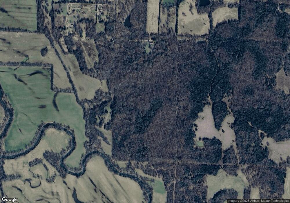
Map
Nearby Homes
- 8771 Arkansas 115
- 11064 Highway 115
- 6564 Highway 115 Unit LotWP001
- 6546 Highway 115
- 335 Shady Ln
- 1981 Bellview Rd
- 4017 Country Club Rd
- 917 Hummingbird Trail
- 152 Lentz St
- 37 Acres Acree Rd
- 8673 Highway 251
- 1580 Sierra Loop
- 9000 Highway 251
- 985 Mosley Rd
- 35 Highway 328 E
- 77 Mock St
- 13322 Arkansas 115
- TBD Springview Rd
- 1566 Wallace Loop Rd
- 187 Paradise Trail
- 3164 Stokes Rd
- 56 Sioux Trail
- 83 Osage Trail
- 3270 Stokes Rd
- 3205 Stokes Rd
- 272 Sioux Trail
- 230 Sioux Trail
- 3461 Stokes Rd
- 2758 Stokes Rd
- 2378 Stokes Rd
- 4803 Highway 328 W
- 2537 Stokes Rd
- 4938 Highway 328 W
- 4690 Highway 328 W
- 4624 Highway 328 W
- 2165 Stokes Rd
- 4473 Highway 328 W
- 5553 Highway 328 W
- 1676 Stokes Rd
Your Personal Tour Guide
Ask me questions while you tour the home.