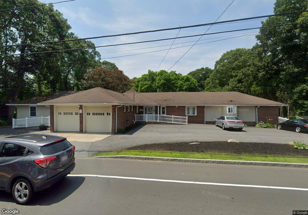
399 Slocum Rd Unit 1 North Dartmouth, MA 02747
Idlewood NeighborhoodEstimated Value: $689,000 - $855,000
4
Beds
3
Baths
2,723
Sq Ft
$279/Sq Ft
Est. Value
About This Home
This home is located at 399 Slocum Rd Unit 1, North Dartmouth, MA 02747 and is currently estimated at $758,973, approximately $278 per square foot. 399 Slocum Rd Unit 1 is a home located in Bristol County with nearby schools including Dartmouth High School, Nazarene Christian Academy, and Our Sister's School.
Ownership History
Date
Name
Owned For
Owner Type
Purchase Details
Closed on
Jul 12, 2018
Sold by
Bettencourt Matthew F
Bought by
Slocum 399 Nt
Current Estimated Value
Home Financials for this Owner
Home Financials are based on the most recent Mortgage that was taken out on this home.
Original Mortgage
$324,000
Outstanding Balance
$279,615
Interest Rate
4.5%
Mortgage Type
New Conventional
Estimated Equity
$479,358
Create a Home Valuation Report for This Property
The Home Valuation Report is an in-depth analysis detailing your home's value as well as a comparison with similar homes in the area
Home Values in the Area
Average Home Value in this Area
Purchase History
| Date | Buyer | Sale Price | Title Company |
|---|---|---|---|
| Slocum 399 Nt | $405,000 | -- |
Source: Public Records
Mortgage History
| Date | Status | Borrower | Loan Amount |
|---|---|---|---|
| Open | Slocum 399 Nt | $324,000 |
Source: Public Records
Tax History Compared to Growth
Tax History
| Year | Tax Paid | Tax Assessment Tax Assessment Total Assessment is a certain percentage of the fair market value that is determined by local assessors to be the total taxable value of land and additions on the property. | Land | Improvement |
|---|---|---|---|---|
| 2025 | $5,941 | $656,500 | $227,000 | $429,500 |
| 2024 | $5,724 | $626,300 | $216,500 | $409,800 |
| 2023 | $5,534 | $571,100 | $200,800 | $370,300 |
| 2022 | $5,187 | $500,700 | $192,100 | $308,600 |
| 2021 | $5,118 | $472,600 | $169,600 | $303,000 |
| 2020 | $4,994 | $459,000 | $169,600 | $289,400 |
| 2019 | $3,968 | $365,700 | $169,600 | $196,100 |
| 2018 | $3,665 | $344,600 | $169,600 | $175,000 |
| 2017 | $3,286 | $308,800 | $135,800 | $173,000 |
| 2016 | $3,164 | $299,100 | $135,800 | $163,300 |
| 2015 | $3,218 | $306,200 | $139,700 | $166,500 |
| 2014 | $3,037 | $290,900 | $127,000 | $163,900 |
Source: Public Records
Map
Nearby Homes
- 59 Longwood Ave
- 50 Gaywood St
- 6 Strathmore Rd
- 0 Norfolk Ave Unit 73403282
- 295 Commonwealth Ave
- 317 Commonwealth Ave
- 0 Middlesex St
- 0 Victoria St Unit 73457953
- 35 Suffolk Ave
- 729 Allen St
- 25 Westwood Dr
- 24 Wayne Memorial Dr
- 35 Jenny Lind St
- 40 Golf St
- 29 Elizabeth Ct
- 6 Walters Way
- 511 Bedford St
- 124 Francis St
- 469 Hillman St
- 1406 Tucker Rd
- 399 Slocum Rd
- 399 Slocum Rd
- 0 Andy's Way Unit 72540991
- Lot 6 Moniz Dr
- 2 Buster Way
- 405 Slocum Rd
- 389 Slocum Rd
- 389 Slocum Rd Unit 1
- 411 Slocum Rd
- 16 Truman Ave
- 385 Slocum Rd
- 00 00
- 0 Call for Information Unit 71412451
- 0 Call for Information Unit 71477815
- 0 Confidential Unit 71707972
- 0 Concession Trailer Unit 71759794
- Lots 20-31 State Rd
- Lot 12 Charles Joseph Dr
- Lot 8 Charles Joseph Dr
- lot 13 Ferris Wheel Ln