399 State Highway 210 Rd Cheyenne, WY 82009
Estimated Value: $572,000 - $753,881
--
Bed
1
Bath
11,100
Sq Ft
$60/Sq Ft
Est. Value
About This Home
This home is located at 399 State Highway 210 Rd, Cheyenne, WY 82009 and is currently estimated at $670,627, approximately $60 per square foot. 399 State Highway 210 Rd is a home with nearby schools including Gilchrist Elementary School, McCormick Junior High School, and Central High School.
Ownership History
Date
Name
Owned For
Owner Type
Purchase Details
Closed on
Oct 9, 2012
Sold by
Unruh David M and Unruh Pamela A
Bought by
Ossipoff Carl Edward and Ossipoff Gail
Current Estimated Value
Home Financials for this Owner
Home Financials are based on the most recent Mortgage that was taken out on this home.
Original Mortgage
$320,000
Outstanding Balance
$222,631
Interest Rate
3.61%
Mortgage Type
New Conventional
Estimated Equity
$447,996
Purchase Details
Closed on
May 1, 2008
Sold by
Drummond Kent G and Drummond Agatha P
Bought by
Unruh David M and Unruh Pamela A
Home Financials for this Owner
Home Financials are based on the most recent Mortgage that was taken out on this home.
Original Mortgage
$155,000
Interest Rate
5.84%
Mortgage Type
Purchase Money Mortgage
Create a Home Valuation Report for This Property
The Home Valuation Report is an in-depth analysis detailing your home's value as well as a comparison with similar homes in the area
Home Values in the Area
Average Home Value in this Area
Purchase History
| Date | Buyer | Sale Price | Title Company |
|---|---|---|---|
| Ossipoff Carl Edward | -- | None Available | |
| Unruh David M | -- | None Available |
Source: Public Records
Mortgage History
| Date | Status | Borrower | Loan Amount |
|---|---|---|---|
| Open | Ossipoff Carl Edward | $320,000 | |
| Previous Owner | Unruh David M | $155,000 |
Source: Public Records
Tax History Compared to Growth
Tax History
| Year | Tax Paid | Tax Assessment Tax Assessment Total Assessment is a certain percentage of the fair market value that is determined by local assessors to be the total taxable value of land and additions on the property. | Land | Improvement |
|---|---|---|---|---|
| 2025 | $3,794 | $44,269 | $9,356 | $34,913 |
| 2024 | $3,794 | $56,447 | $12,475 | $43,972 |
| 2023 | $3,988 | $60,697 | $12,475 | $48,222 |
| 2022 | $3,220 | $47,927 | $8,608 | $39,319 |
| 2021 | $3,260 | $48,406 | $7,710 | $40,696 |
| 2020 | $2,937 | $43,744 | $7,710 | $36,034 |
| 2019 | $2,912 | $43,328 | $7,710 | $35,618 |
| 2018 | $2,747 | $41,296 | $5,981 | $35,315 |
| 2017 | $2,703 | $40,234 | $5,981 | $34,253 |
| 2016 | $2,660 | $39,580 | $5,799 | $33,781 |
| 2015 | $2,730 | $40,602 | $5,799 | $34,803 |
| 2014 | $2,302 | $34,004 | $5,799 | $28,205 |
Source: Public Records
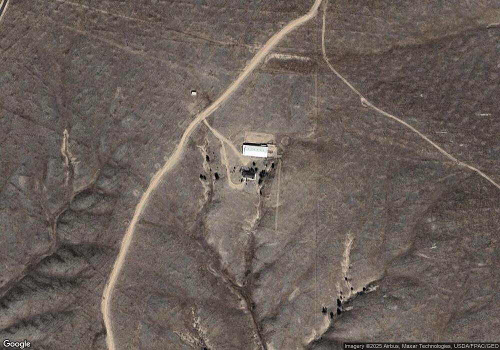
Map
Nearby Homes
- 1191 Granite Springs Rd
- 1191 Granite Springs Unit 85
- 1191 Granite Springs Unit 37
- 1191 Granite Springs Unit 42
- Tr 10 Tomahawk Rd
- LOT 84 Wagon Trail Dr
- 1023 Cottontail Dr
- 254 Rocky Rd
- 289 Shadow Dr
- 475 Road 210
- 248 Rocky Rd
- 188 Road 210
- Tract 29 Latigo Loop
- 759 Crow Creek Rd
- 1483 Gilchrist Rd
- 879 S Table Mtn Loop
- 1102 Dusty Rd
- 1100 Brundage Rd
- TBD Vada Rae Ct
- 1709 Shadow Valley Rd
- 399 Happy Jack Rd
- 402 Happy Jack Rd
- 397 Happy Jack Rd
- 1311 Bobcat Trail
- 1317 Puma Path
- 1314 Bobcat Trail
- 1320 Bobcat Trail
- 333 Happy Jack Rd
- Lot10/11 Bobcat Trail
- Lot 10 Bobcat Trail
- Tract 10 & 11 Bobcat Trail
- TBD Bobcat Trail
- 393 Happy Jack Rd
- 355 State Highway 210 Rd
- Tract 10 Bobcat Trail
- 446 Mountain Lion Trail
- TBD Panther Track
- Tract 11 Bobcat Trail
- 323 Happy Jack Rd
- Tract 9 Lynx Ln