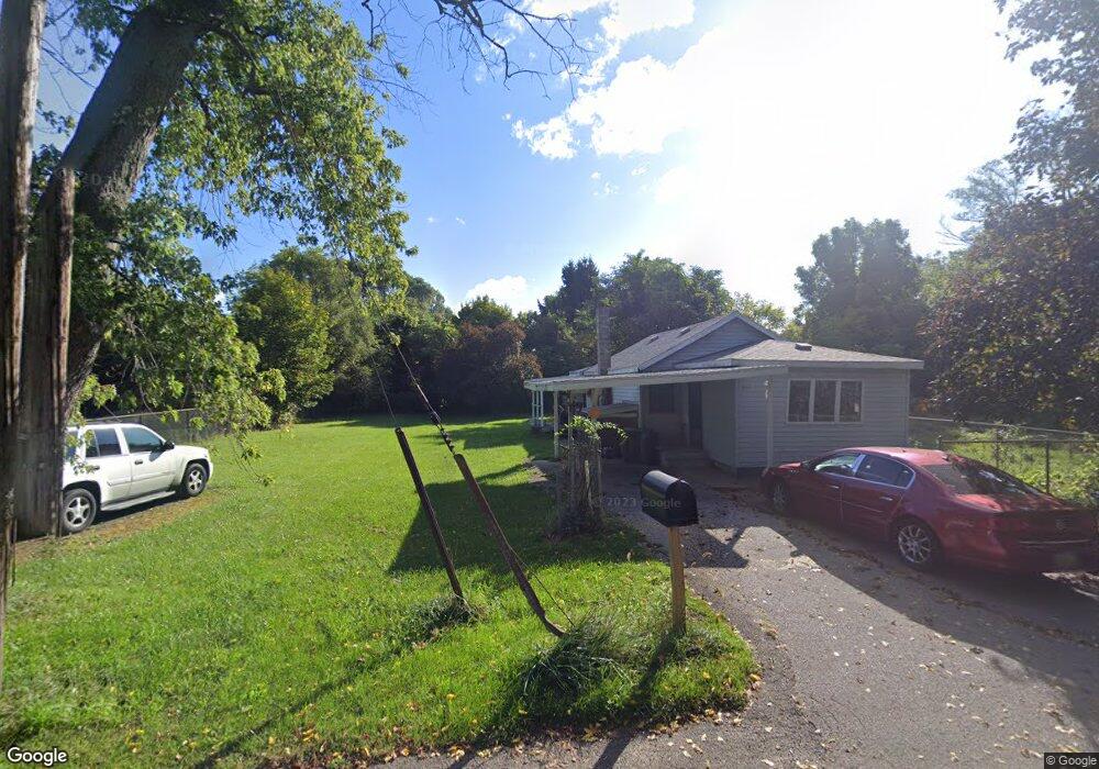
399 Walnut St Benton Harbor, MI 49022
Benton Heights NeighborhoodEstimated Value: $24,000 - $79,000
--
Bed
--
Bath
--
Sq Ft
5,009
Sq Ft Lot
About This Home
This home is located at 399 Walnut St, Benton Harbor, MI 49022 and is currently estimated at $51,500. 399 Walnut St is a home located in Berrien County with nearby schools including Fair Plain Middle School, Benton Harbor High School, and Mildred C. Wells Preparatory Academy.
Ownership History
Date
Name
Owned For
Owner Type
Purchase Details
Closed on
Nov 1, 2012
Sold by
James Rinex
Bought by
Broyles Charles
Current Estimated Value
Purchase Details
Closed on
Oct 2, 2012
Sold by
Berrien County Treasurer Bret Witkoski
Bought by
James Rinex
Purchase Details
Closed on
May 29, 2002
Purchase Details
Closed on
Apr 12, 2002
Purchase Details
Closed on
May 2, 2000
Purchase Details
Closed on
Nov 20, 1991
Purchase Details
Closed on
Jun 1, 1989
Purchase Details
Closed on
Apr 7, 1977
Purchase Details
Closed on
Oct 17, 1964
Create a Home Valuation Report for This Property
The Home Valuation Report is an in-depth analysis detailing your home's value as well as a comparison with similar homes in the area
Home Values in the Area
Average Home Value in this Area
Purchase History
| Date | Buyer | Sale Price | Title Company |
|---|---|---|---|
| Broyles Charles | -- | None Available | |
| James Rinex | -- | None Available | |
| -- | -- | -- | |
| -- | -- | -- | |
| -- | -- | -- | |
| -- | $2,100 | -- | |
| -- | -- | -- | |
| -- | $8,500 | -- | |
| -- | $8,500 | -- |
Source: Public Records
Tax History Compared to Growth
Tax History
| Year | Tax Paid | Tax Assessment Tax Assessment Total Assessment is a certain percentage of the fair market value that is determined by local assessors to be the total taxable value of land and additions on the property. | Land | Improvement |
|---|---|---|---|---|
| 2025 | $61 | $2,000 | $0 | $0 |
| 2024 | $26 | $1,000 | $0 | $0 |
| 2023 | $24 | $900 | $0 | $0 |
| 2022 | $23 | $800 | $0 | $0 |
| 2021 | $57 | $900 | $900 | $0 |
| 2020 | $56 | $800 | $0 | $0 |
| 2019 | $56 | $600 | $600 | $0 |
| 2018 | $55 | $600 | $0 | $0 |
| 2017 | $55 | $600 | $0 | $0 |
| 2016 | $55 | $600 | $0 | $0 |
| 2015 | $55 | $600 | $0 | $0 |
| 2014 | $32 | $900 | $0 | $0 |
Source: Public Records
Map
Nearby Homes
- 394 Linden St
- 1226 Chicago Ave
- 234 Walnut St
- 1069 E Main St
- 238 Pine St
- 6525 Territorial Rd
- 137 Cornelia St
- 992 Highland Ave
- 470 N Mccord St
- 530 Rembert Ct
- 185 Felton St
- 149 Bridgman Ave
- 696 Highland Ave
- 710 Buss Ave
- 140 N Crystal Ave
- 419 Packard St
- 806 Pitkins Ave
- 363 Brunson Ave
- 309 High St
- 391 Pipestone St
- 395 Walnut St
- 405 Walnut St
- 157 Walnut St
- 407 Butternut St
- 402 Walnut St
- 348 Butternut St
- 1108 Territorial Rd
- 380 Walnut St
- 1120 Territorial Rd
- 340 Butternut St
- 378 Walnut St
- 1090 Territorial Rd
- 370 Walnut St
- 1126 Territorial Rd
- 363 Walnut St
- 336 Butternut St
- 1082 Territorial Rd
- 362 Walnut St
- 387 Butternut St
- 1136 Territorial Rd