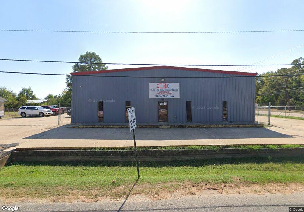
399 Watts Rd Shreveport, LA 71106
Cedar Grove/Lynbrook NeighborhoodEstimated Value: $633,432
--
Bed
--
Bath
6,048
Sq Ft
$105/Sq Ft
Est. Value
About This Home
This home is located at 399 Watts Rd, Shreveport, LA 71106 and is currently priced at $633,432, approximately $104 per square foot. 399 Watts Rd is a home located in Caddo Parish with nearby schools including Fairfield Magnet School, Judson Fundamental Elementary School, and Eden Gardens Fundamental Elementary School.
Ownership History
Date
Name
Owned For
Owner Type
Purchase Details
Closed on
Nov 21, 2019
Sold by
Dance Trading Llc
Bought by
Spbg Llc
Current Estimated Value
Home Financials for this Owner
Home Financials are based on the most recent Mortgage that was taken out on this home.
Original Mortgage
$203,640
Interest Rate
3.75%
Mortgage Type
New Conventional
Purchase Details
Closed on
Feb 28, 2017
Sold by
Boardwalk Investors Us Bank
Bought by
Dance Trading Llc
Purchase Details
Closed on
Sep 30, 2016
Sold by
Finanncial Echo
Bought by
Dance Trading Llc
Create a Home Valuation Report for This Property
The Home Valuation Report is an in-depth analysis detailing your home's value as well as a comparison with similar homes in the area
Home Values in the Area
Average Home Value in this Area
Purchase History
| Date | Buyer | Sale Price | Title Company |
|---|---|---|---|
| Spbg Llc | $225,000 | None Available | |
| Dance Trading Llc | -- | None Available | |
| Dance Trading Llc | $32,500 | None Available |
Source: Public Records
Mortgage History
| Date | Status | Borrower | Loan Amount |
|---|---|---|---|
| Closed | Spbg Llc | $203,640 |
Source: Public Records
Tax History Compared to Growth
Tax History
| Year | Tax Paid | Tax Assessment Tax Assessment Total Assessment is a certain percentage of the fair market value that is determined by local assessors to be the total taxable value of land and additions on the property. | Land | Improvement |
|---|---|---|---|---|
| 2024 | $3,558 | $22,826 | $3,837 | $18,989 |
| 2023 | $3,611 | $22,655 | $3,666 | $18,989 |
| 2022 | $3,611 | $22,655 | $3,666 | $18,989 |
| 2021 | $3,556 | $22,655 | $3,666 | $18,989 |
| 2020 | $3,556 | $22,655 | $3,666 | $18,989 |
| 2019 | $4,206 | $26,006 | $3,666 | $22,340 |
| 2018 | $3,349 | $26,006 | $3,666 | $22,340 |
| 2017 | $4,272 | $26,006 | $3,666 | $22,340 |
| 2015 | $3,371 | $26,010 | $3,670 | $22,340 |
| 2014 | $3,397 | $26,010 | $3,670 | $22,340 |
| 2013 | -- | $26,010 | $3,670 | $22,340 |
Source: Public Records
Map
Nearby Homes
- 0 Mount Zion Rd
- 9288 Humble St
- 0 Kennie Rd
- 8708 Lelia Ln
- 8825 Coyth Ln
- 9258 Reunion Dr
- 570 Sally Ann Dr
- 109 W 85th St
- 1729 S Reunion Dr
- 610 Meadowdale Place
- 636 Woodmont Place
- 710 Kingridge Place
- 649 Woodmont Place
- 1816 Live Oak Dr
- 8321 Kingston Rd
- 745 Kingridge Place
- 403 E 85th St
- 346 W 80th St
- 1838 Shady Ln
- 1821 S Brookwood Dr
- 9155 Linwood Ave
- 9147 Linwood Ave
- 9183 Linwood Ave
- 405 Watts Rd
- 411 Watts Rd
- 370 Watts Rd
- 384 Watts Rd
- 418 Watts Rd
- 9116 Linwood Ave
- 360 Watts Rd
- 423 Watts Rd
- 409 Mount Zion Rd
- 415 Mount Zion Rd
- 429 Watts Rd
- 9110 Linwood Ave Unit 45
- 9110 Linwood Ave Unit 105
- 9110 Linwood Ave Unit 38
- 423 Mount Zion Rd
- 433 Watts Rd
- 437 Watts Rd