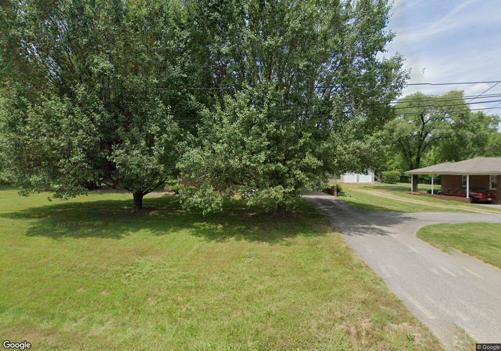
3992 Cunningham Rd Thomasville, NC 27360
Estimated Value: $183,134 - $208,000
2
Beds
1
Bath
1,564
Sq Ft
$124/Sq Ft
Est. Value
About This Home
This home is located at 3992 Cunningham Rd, Thomasville, NC 27360 and is currently estimated at $193,284, approximately $123 per square foot. 3992 Cunningham Rd is a home located in Davidson County with nearby schools including Davis-Townsend Elementary School, Central Davidson Middle School, and Central Davidson High School.
Ownership History
Date
Name
Owned For
Owner Type
Purchase Details
Closed on
Oct 11, 2022
Sold by
Fritts Jr Larry D and Lambeth Deborah
Bought by
Miller Julia Elizabeth
Current Estimated Value
Home Financials for this Owner
Home Financials are based on the most recent Mortgage that was taken out on this home.
Original Mortgage
$100,000
Outstanding Balance
$95,891
Interest Rate
5.55%
Mortgage Type
New Conventional
Estimated Equity
$97,393
Purchase Details
Closed on
Jul 11, 2012
Sold by
Fritts Larry D
Bought by
Fritts Larry D
Purchase Details
Closed on
Apr 1, 1988
Create a Home Valuation Report for This Property
The Home Valuation Report is an in-depth analysis detailing your home's value as well as a comparison with similar homes in the area
Home Values in the Area
Average Home Value in this Area
Purchase History
| Date | Buyer | Sale Price | Title Company |
|---|---|---|---|
| Miller Julia Elizabeth | $150,000 | -- | |
| Fritts Larry D | -- | None Available | |
| -- | -- | -- |
Source: Public Records
Mortgage History
| Date | Status | Borrower | Loan Amount |
|---|---|---|---|
| Open | Miller Julia Elizabeth | $100,000 |
Source: Public Records
Tax History
| Year | Tax Paid | Tax Assessment Tax Assessment Total Assessment is a certain percentage of the fair market value that is determined by local assessors to be the total taxable value of land and additions on the property. | Land | Improvement |
|---|---|---|---|---|
| 2025 | $555 | $88,110 | $0 | $0 |
| 2024 | $555 | $88,110 | $0 | $0 |
| 2023 | $555 | $88,110 | $0 | $0 |
| 2022 | $278 | $88,110 | $0 | $0 |
| 2021 | $269 | $88,110 | $0 | $0 |
| 2020 | $254 | $79,760 | $0 | $0 |
| 2019 | $258 | $79,760 | $0 | $0 |
| 2018 | $258 | $79,760 | $0 | $0 |
| 2017 | $495 | $79,760 | $0 | $0 |
| 2016 | $495 | $79,760 | $0 | $0 |
| 2015 | $495 | $79,760 | $0 | $0 |
| 2014 | $501 | $80,780 | $0 | $0 |
Source: Public Records
Map
Nearby Homes
- 901 Decker Rd
- 295 Calinda Dr
- 8015 E US Highway 64
- 179 Stephens Ln
- 0 E US Highway 64
- 00 New Cut Rd
- 808 John Black Rd
- 119 Alexandria Ln
- 301 Beck Forest Ln
- 855 Blackberry Rd
- 423 Watford Rd
- 154 Gracyn Ln
- 472 Watford Rd
- 480 Watford Rd
- 7515 E Old Us Highway 64
- 370 Lee Rd
- 752 Conrad Hill Mine Rd
- 737 Lee Rd
- 1470 Robert Beck Rd
- 1004 Black Farm Rd
- 3970 Cunningham Rd
- 3894 Cunningham Rd
- 7311 E Us Highway 64
- 3830 Cunningham Rd
- 7533 E Us Highway 64
- TBD New Cut Rd
- 310 Asheboro St
- 3694 Cunningham Rd
- 7125 E Us Highway 64
- 3639 Cunningham Rd
- 218 Asheboro St Unit 228
- 7731 E Us Highway 64
- 280 Creek Dr
- 262 Creek Dr
- 7053 E Us Highway 64
- 319 Glendale Ave
- 415 Sunset Ave
- 393 Sunset Ave
- 145 Railroad Ln
- 312 Glendale Ave
Your Personal Tour Guide
Ask me questions while you tour the home.