3994 Franklin Ave Astoria, OR 97103
Estimated Value: $470,000 - $518,000
3
Beds
2
Baths
1,699
Sq Ft
$291/Sq Ft
Est. Value
About This Home
This home is located at 3994 Franklin Ave, Astoria, OR 97103 and is currently estimated at $494,236, approximately $290 per square foot. 3994 Franklin Ave is a home located in Clatsop County with nearby schools including Astor Elementary School, Lewis & Clark Elementary School, and Astoria Middle School.
Ownership History
Date
Name
Owned For
Owner Type
Purchase Details
Closed on
Sep 8, 2016
Sold by
South Pacific County Humane Society
Bought by
Cramer Stephanie K
Current Estimated Value
Home Financials for this Owner
Home Financials are based on the most recent Mortgage that was taken out on this home.
Original Mortgage
$157,500
Outstanding Balance
$126,684
Interest Rate
3.48%
Mortgage Type
New Conventional
Estimated Equity
$387,395
Create a Home Valuation Report for This Property
The Home Valuation Report is an in-depth analysis detailing your home's value as well as a comparison with similar homes in the area
Home Values in the Area
Average Home Value in this Area
Purchase History
| Date | Buyer | Sale Price | Title Company |
|---|---|---|---|
| Cramer Stephanie K | $157,500 | Ticor Title Ins Co | |
| Cramer Stephanie K | $52,500 | Ticor Title Ins Co | |
| Masat Joan | -- | Ticor Title Ins Co |
Source: Public Records
Mortgage History
| Date | Status | Borrower | Loan Amount |
|---|---|---|---|
| Open | Cramer Stephanie K | $157,500 |
Source: Public Records
Tax History Compared to Growth
Tax History
| Year | Tax Paid | Tax Assessment Tax Assessment Total Assessment is a certain percentage of the fair market value that is determined by local assessors to be the total taxable value of land and additions on the property. | Land | Improvement |
|---|---|---|---|---|
| 2024 | $3,893 | $194,557 | -- | -- |
| 2023 | $3,760 | $188,891 | $0 | $0 |
| 2022 | $3,554 | $183,390 | $0 | $0 |
| 2021 | $3,456 | $178,049 | $0 | $0 |
| 2020 | $3,358 | $172,864 | $0 | $0 |
| 2019 | $3,258 | $167,830 | $0 | $0 |
| 2018 | $2,997 | $162,943 | $0 | $0 |
| 2017 | $2,870 | $158,198 | $0 | $0 |
| 2016 | $2,743 | $153,592 | $35,495 | $118,097 |
| 2015 | $2,689 | $149,120 | $34,462 | $114,658 |
| 2014 | $2,640 | $144,778 | $0 | $0 |
| 2013 | -- | $140,562 | $0 | $0 |
Source: Public Records
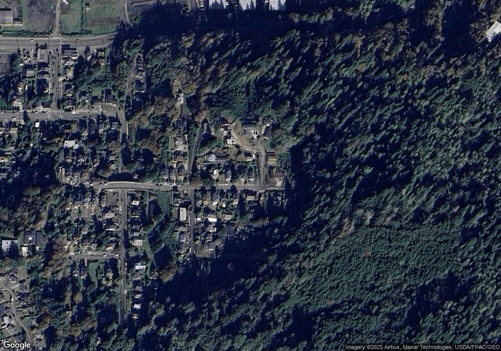
Map
Nearby Homes
- 0 38th St
- 755 38th St
- 3930 Abbey Ln
- 3930 Abbey Ln Unit 210
- 3930 Abbey Ln Unit 409A
- 3990 Abbey Ln
- 3990 Abbey Ln Unit B401
- 4050 Abbey Ln
- 3535 Harrison Ave
- 3535 Harrison Dr
- 3586 Irving Ave
- 4559 Leif Erikson Dr
- 622 46th St
- 3168 Harrison Ave
- 3162 Marine Dr
- 686 29th St
- 4841 Cedar St
- 663 29th St
- 0 Vl Leif Erikson Dr
- 230 Maritime Ln
- 3978 Franklin Ave
- 3991 Franklin Ave
- 513 40th St
- 3952 Franklin Ave
- 3963 Franklin Ave
- 4010 Franklin Ave
- 3947 Franklin Ave
- 633 40th St
- 3928 Franklin Ave
- 4017 Franklin Ave
- 3931 Franklin Ave
- 518 39th St
- 429 40th St
- 642 39th St
- 4041 Franklin Ave
- 3909 Franklin Ave
- 408 40th St
- 425 40th St
- 665 40th St
- 644 39th St