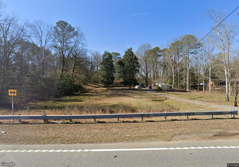
3994 S Dixie Rd Dalton, GA 30721
Estimated Value: $217,753 - $246,000
3
Beds
2
Baths
1,620
Sq Ft
$145/Sq Ft
Est. Value
About This Home
This home is located at 3994 S Dixie Rd, Dalton, GA 30721 and is currently estimated at $235,188, approximately $145 per square foot. 3994 S Dixie Rd is a home located in Whitfield County with nearby schools including Valley Point Elementary School, Valley Point Middle School, and Southeast Whitfield County High School.
Ownership History
Date
Name
Owned For
Owner Type
Purchase Details
Closed on
Jul 16, 2007
Sold by
Not Provided
Bought by
Ward George and Ward Juleann
Current Estimated Value
Create a Home Valuation Report for This Property
The Home Valuation Report is an in-depth analysis detailing your home's value as well as a comparison with similar homes in the area
Home Values in the Area
Average Home Value in this Area
Purchase History
| Date | Buyer | Sale Price | Title Company |
|---|---|---|---|
| Ward George | -- | -- |
Source: Public Records
Tax History Compared to Growth
Tax History
| Year | Tax Paid | Tax Assessment Tax Assessment Total Assessment is a certain percentage of the fair market value that is determined by local assessors to be the total taxable value of land and additions on the property. | Land | Improvement |
|---|---|---|---|---|
| 2024 | $420 | $84,134 | $6,702 | $77,432 |
| 2023 | $420 | $59,147 | $5,014 | $54,133 |
| 2022 | $225 | $40,970 | $4,402 | $36,568 |
| 2021 | $225 | $40,970 | $4,402 | $36,568 |
| 2020 | $246 | $40,970 | $4,402 | $36,568 |
| 2019 | $257 | $40,970 | $4,402 | $36,568 |
| 2018 | $256 | $40,076 | $3,508 | $36,568 |
| 2017 | $256 | $40,076 | $3,508 | $36,568 |
| 2016 | $697 | $36,811 | $3,508 | $33,303 |
| 2014 | $671 | $37,906 | $4,603 | $33,303 |
| 2013 | -- | $37,906 | $4,603 | $33,302 |
Source: Public Records
Map
Nearby Homes
- 112 Robin Hood Dr
- 116 Robin Hood Dr
- 122 Robin Hood Dr
- 213 Gwendolyn Lee Ln
- 282 Collington Cir
- 586 Collington Cir
- 147 Toria Trace
- 112 Toria Trace
- 3737 S Dixie Rd
- 0 Old Dixie Hwy
- 162 Valley Point Dr SE
- 0 Carbondale Rd SW Unit 129966
- 0 Carbondale Rd SW Unit 7574085
- 0 Carbondale Rd SW Unit 130445
- 0 Carbondale Rd SW Unit 1522370
- 0 Carbondale Rd SW Unit 10515867
- 0 Carbondale Rd SW Unit 129726
- 4381 S Dixie Hwy
- 3737 S Dixie Hwy
- 3950 S Dixie Hwy
- 4002 S Dixie Rd
- 3984 S Dixie Rd
- 4006 S Dixie Rd
- 3995 S Dixie Rd
- 3952 S Dixie Rd
- 4010 S Dixie Rd
- 3965 S Dixie Rd
- 138 Red Quill Way
- 3950 S Dixie Rd Unit 2
- 3950 S Dixie Rd Unit 3
- 3950 S Dixie Rd
- 3950 S Dixie Rd
- 4009 S Dixie Rd
- 111 Latimer Way
- 111 Latimer Way
- 206 Red Quill Way
- 3949 S Dixie Rd
- 118 Red Quill Way
- 4011 S Dixie Rd
- 4014 S Dixie Rd