3996 State Route 257 S Ostrander, OH 43061
Concord NeighborhoodEstimated Value: $488,000 - $1,496,933
--
Bed
--
Bath
--
Sq Ft
33.53
Acres
About This Home
This home is located at 3996 State Route 257 S, Ostrander, OH 43061 and is currently estimated at $992,467. 3996 State Route 257 S is a home located in Delaware County with nearby schools including Buckeye Valley High School.
Ownership History
Date
Name
Owned For
Owner Type
Purchase Details
Closed on
Jun 30, 2015
Sold by
Country Squire Farms Inc
Bought by
Austin Mike and Austin Tami
Current Estimated Value
Home Financials for this Owner
Home Financials are based on the most recent Mortgage that was taken out on this home.
Original Mortgage
$117,500
Interest Rate
3.83%
Mortgage Type
Future Advance Clause Open End Mortgage
Purchase Details
Closed on
Apr 5, 2010
Sold by
Tipple Daniel R and Tipple Rhonda P
Bought by
Tipple Daniel R and Tipple Rhonda P
Purchase Details
Closed on
May 9, 2003
Sold by
M H Dakhteh Co Inc
Bought by
Country Squire Farms Inc
Purchase Details
Closed on
May 24, 2000
Sold by
M H Dakhteh Companies In
Bought by
West Wendy R Warwick Kathie A
Home Financials for this Owner
Home Financials are based on the most recent Mortgage that was taken out on this home.
Original Mortgage
$159,900
Interest Rate
8.13%
Mortgage Type
New Conventional
Create a Home Valuation Report for This Property
The Home Valuation Report is an in-depth analysis detailing your home's value as well as a comparison with similar homes in the area
Home Values in the Area
Average Home Value in this Area
Purchase History
| Date | Buyer | Sale Price | Title Company |
|---|---|---|---|
| Austin Mike | $370,000 | Northwest Title Family Of Co | |
| Tipple Daniel R | -- | None Available | |
| Country Squire Farms Inc | $90,000 | Lawyers Title Agency Of Dela | |
| West Wendy R Warwick Kathie A | $38,000 | -- |
Source: Public Records
Mortgage History
| Date | Status | Borrower | Loan Amount |
|---|---|---|---|
| Closed | Austin Mike | $117,500 | |
| Previous Owner | West Wendy R Warwick Kathie A | $159,900 |
Source: Public Records
Tax History Compared to Growth
Tax History
| Year | Tax Paid | Tax Assessment Tax Assessment Total Assessment is a certain percentage of the fair market value that is determined by local assessors to be the total taxable value of land and additions on the property. | Land | Improvement |
|---|---|---|---|---|
| 2024 | $5,590 | $386,370 | $231,460 | $154,910 |
| 2023 | $5,589 | $386,370 | $231,460 | $154,910 |
| 2022 | $5,709 | $310,490 | $163,450 | $147,040 |
| 2021 | $5,567 | $310,490 | $163,450 | $147,040 |
| 2020 | $5,600 | $310,490 | $163,450 | $147,040 |
| 2019 | $5,661 | $257,010 | $125,720 | $131,290 |
| 2018 | $5,764 | $257,010 | $125,720 | $131,290 |
| 2017 | $2,663 | $110,890 | $105,740 | $5,150 |
| 2016 | $698 | $110,890 | $105,740 | $5,150 |
| 2015 | $737 | $110,890 | $105,740 | $5,150 |
| 2014 | $694 | $110,890 | $105,740 | $5,150 |
| 2013 | $388 | $110,890 | $105,740 | $5,150 |
Source: Public Records
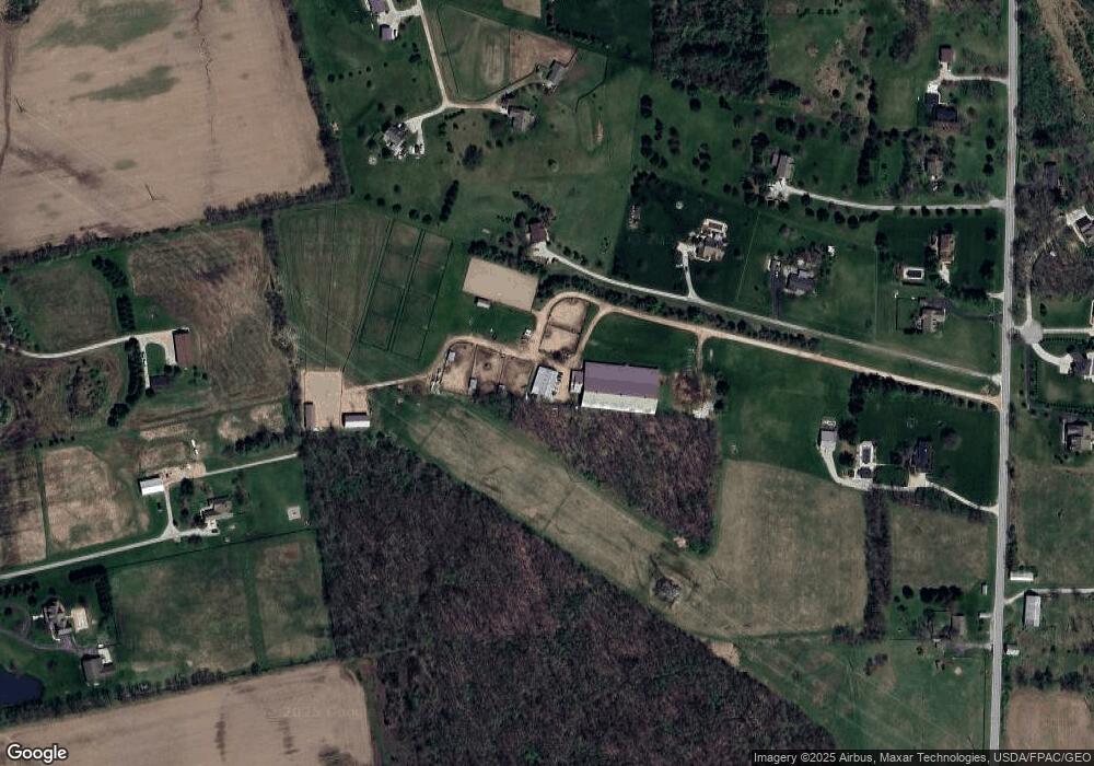
Map
Nearby Homes
- 0 Us-42 Tract 3
- 0 Us-42 Tract 4
- 5701 Dublin Rd
- 5310 S Section Line Rd
- 5778 Robin Hood Ln
- 275 Long Trail
- 235 Long Trail
- 5968 S Section Line Rd
- 322 Blue Ridge Ct
- 4161 Clark Shaw Rd
- 4040 Clark Shaw Rd
- 1723 S Section Line Rd
- 0 E High St Unit Tract 4 225034758
- 0 E High St Unit Tract 3 225034757
- 0 E High St Unit Tract 2 225034755
- 0 E High St Unit Tract 1 225034753
- 3226 Bean Oller Rd
- 4132 Bluebird Dr
- 0 S Section Line Rd Unit Tract 6 225024549
- 0 S Section Line Rd Unit Tract 5 225024546
- 3996 Ohio 257
- 3988 State Route 257 S
- 3984 State Route 257 S
- 3895 Fry Rd
- 3980 State Route 257 S
- 3897 Fry Rd
- 3866 State Route 257 S
- 3866 Ohio 257
- 4387 Fry Rd
- 4060 State Route 257 S
- 3912 Ohio 257
- 3912 State Route 257 S
- 3859 Fry Rd
- 3908 State Route 257 S
- 3899 Fry Rd
- 3864 Ohio 257
- 3864 State Route 257 S
- 3863 Fry Rd
- 3809 Fry Rd
- 4299 Fry Rd