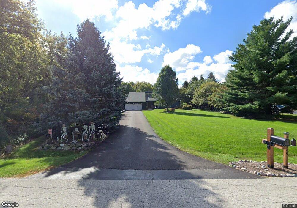
39W124 Cranston Rd Unit 7 Saint Charles, IL 60175
Cranston Meadows Park NeighborhoodEstimated Value: $680,653 - $783,000
Studio
1
Bath
3,210
Sq Ft
$227/Sq Ft
Est. Value
About This Home
This home is located at 39W124 Cranston Rd Unit 7, Saint Charles, IL 60175 and is currently estimated at $727,163, approximately $226 per square foot. 39W124 Cranston Rd Unit 7 is a home located in Kane County with nearby schools including Ferson Creek Elementary School, Thompson Middle School, and St Charles North High School.
Ownership History
Date
Name
Owned For
Owner Type
Purchase Details
Closed on
Jul 15, 1997
Sold by
Petersen Joel R and Petersen Jeannie E
Bought by
Speck John and Speck Kathleen
Current Estimated Value
Home Financials for this Owner
Home Financials are based on the most recent Mortgage that was taken out on this home.
Original Mortgage
$253,500
Outstanding Balance
$33,147
Interest Rate
6.5%
Estimated Equity
$694,016
Create a Home Valuation Report for This Property
The Home Valuation Report is an in-depth analysis detailing your home's value as well as a comparison with similar homes in the area
Home Values in the Area
Average Home Value in this Area
Purchase History
| Date | Buyer | Sale Price | Title Company |
|---|---|---|---|
| Speck John | $211,333 | Chicago Title Insurance Co |
Source: Public Records
Mortgage History
| Date | Status | Borrower | Loan Amount |
|---|---|---|---|
| Open | Speck John | $253,500 |
Source: Public Records
Tax History
| Year | Tax Paid | Tax Assessment Tax Assessment Total Assessment is a certain percentage of the fair market value that is determined by local assessors to be the total taxable value of land and additions on the property. | Land | Improvement |
|---|---|---|---|---|
| 2024 | $12,512 | $197,293 | $26,845 | $170,448 |
| 2023 | $12,234 | $176,391 | $24,001 | $152,390 |
| 2022 | $11,605 | $160,721 | $21,869 | $138,852 |
| 2021 | $10,906 | $151,753 | $20,649 | $131,104 |
| 2020 | $10,890 | $149,569 | $20,352 | $129,217 |
| 2019 | $10,754 | $147,373 | $20,053 | $127,320 |
| 2018 | $10,738 | $147,373 | $20,053 | $127,320 |
| 2017 | $10,644 | $145,210 | $19,759 | $125,451 |
| 2016 | $11,317 | $141,544 | $19,260 | $122,284 |
| 2015 | -- | $137,635 | $18,728 | $118,907 |
| 2014 | -- | $133,345 | $19,015 | $114,330 |
| 2013 | -- | $135,582 | $19,334 | $116,248 |
Source: Public Records
Map
Nearby Homes
- 7N002 Glenview Dr
- 39W113 Ridge Line Rd
- 6N499 Brookhaven Ln
- 38W725 Cloverfield Dr
- 39W796 Dairyherd Ln Unit 1
- 1855 Chandolin Ln
- 1853 Chandolin Ln
- 1857 Chandolin Ln
- 3591 Sandstone Cir
- 3588 Sandstone Cir
- 3590 Sandstone Cir
- 1865 Chandolin Ln
- 1863 Chandolin Ln
- 1867 Chandolin Ln
- 1855 Diamond Dr
- 1858 Chandolin Ln
- 1854 Chandolin Ln
- 3587 Sandstone Cir
- 1851 Diamond Dr
- 1847 Diamond Dr
- 39W104 Cranston Rd
- 39W160 Cranston Rd
- 39W070 Cranston Rd
- 7N058 Tuttle Place Unit 7
- 7N095 Ridge Line Rd
- 7N224 Westview Ct
- 39W203 Cranston Rd
- 7N140 Ridge Line Rd
- 7N065 Ridge Line Rd
- 7N225 Westview Ct
- 7N215 Ridge Line Rd
- 7N106 Ridge Line Rd
- 7N106 Ridge Line Rd
- 7N236 Westview Ct Unit 5
- 7N030 Tuttle Place Unit 7
- 39W020 Cranston Rd
- 38W900 Cranston Rd Unit 7
- 7N045 Tuttle Place
- 39W202 Cranston Rd
- 7N035 Ridge Line Rd
Your Personal Tour Guide
Ask me questions while you tour the home.