39W130 Ridge Line Rd Unit 5 Saint Charles, IL 60175
Cranston Meadows Park NeighborhoodEstimated Value: $570,690 - $653,000
--
Bed
1
Bath
2,352
Sq Ft
$263/Sq Ft
Est. Value
About This Home
This home is located at 39W130 Ridge Line Rd Unit 5, Saint Charles, IL 60175 and is currently estimated at $617,673, approximately $262 per square foot. 39W130 Ridge Line Rd Unit 5 is a home located in Kane County with nearby schools including Ferson Creek Elementary School, Thompson Middle School, and St Charles North High School.
Ownership History
Date
Name
Owned For
Owner Type
Purchase Details
Closed on
Aug 14, 2018
Sold by
Crowe Thomas J and Crowe Carrie V
Bought by
Crowe Thomas J and Crowe Carrie V
Current Estimated Value
Purchase Details
Closed on
Nov 26, 2010
Sold by
Miller Carl F and Miller Linda E
Bought by
Crowe Thomas J and Crowe Carrie
Home Financials for this Owner
Home Financials are based on the most recent Mortgage that was taken out on this home.
Original Mortgage
$210,000
Outstanding Balance
$138,813
Interest Rate
4.23%
Mortgage Type
New Conventional
Estimated Equity
$478,860
Create a Home Valuation Report for This Property
The Home Valuation Report is an in-depth analysis detailing your home's value as well as a comparison with similar homes in the area
Home Values in the Area
Average Home Value in this Area
Purchase History
| Date | Buyer | Sale Price | Title Company |
|---|---|---|---|
| Crowe Thomas J | -- | Attorney | |
| Crowe Thomas J | $285,000 | Fox Title Company |
Source: Public Records
Mortgage History
| Date | Status | Borrower | Loan Amount |
|---|---|---|---|
| Open | Crowe Thomas J | $210,000 |
Source: Public Records
Tax History Compared to Growth
Tax History
| Year | Tax Paid | Tax Assessment Tax Assessment Total Assessment is a certain percentage of the fair market value that is determined by local assessors to be the total taxable value of land and additions on the property. | Land | Improvement |
|---|---|---|---|---|
| 2024 | $8,911 | $158,355 | $15,032 | $143,323 |
| 2023 | $8,696 | $141,578 | $13,439 | $128,139 |
| 2022 | $8,276 | $129,000 | $12,245 | $116,755 |
| 2021 | $6,834 | $116,278 | $11,562 | $104,716 |
| 2020 | $6,821 | $108,272 | $11,396 | $96,876 |
| 2019 | $6,734 | $106,683 | $11,229 | $95,454 |
| 2018 | $6,724 | $106,683 | $11,229 | $95,454 |
| 2017 | $6,662 | $93,137 | $11,064 | $82,073 |
| 2016 | $7,079 | $90,786 | $10,785 | $80,001 |
| 2015 | $6,569 | $88,279 | $10,487 | $77,792 |
| 2014 | $6,569 | $88,385 | $10,648 | $77,737 |
| 2013 | $6,569 | $89,868 | $10,827 | $79,041 |
Source: Public Records
Map
Nearby Homes
- 7N610 Cloverfield Cir
- 38W725 Cloverfield Dr
- 3591 Sandstone Cir
- 3588 Sandstone Cir
- 3590 Sandstone Cir
- 1857 Chandolin Ln
- 1865 Chandolin Ln
- 1863 Chandolin Ln
- 1867 Chandolin Ln
- 1851 Diamond Dr
- 1847 Diamond Dr
- 1858 Chandolin Ln
- 1854 Chandolin Ln
- 1848 Chandolin Ln
- 1846 Chandolin Ln
- 1850 Chandolin Ln
- 3620 Sahara Rd
- 6N729 Old Homestead Rd
- 7N919 Cloverfield Rd
- Newcastle Plan at Ponds of Stony Creek - Phase II
- 39W130 Ridge Line Rd
- 39W110 Ridge Line Rd
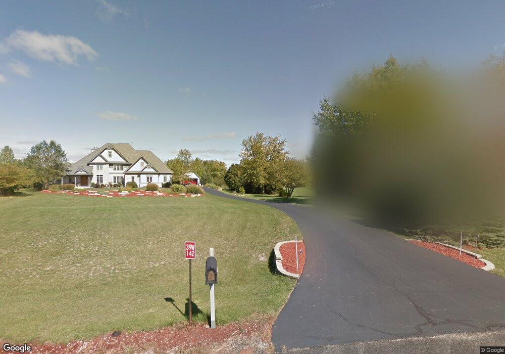
- 39W142 Ridge Line Rd
- 7N435 Ridge Line Rd
- 39W166 Ridge Line Rd
- 39W086 Ridge Line Rd
- 39W113 Ridge Line Rd
- 7N450 Ridge Line Rd
- 39W045 Cloverfield Cir
- 7N544 Cloverfield Cir
- 39W054 Ridge Line Rd Unit 5
- 7N396 Ridge Line Rd
- 7N354 Westview Ct Unit 5
- 39W029 Cloverfield Cir Unit 6
- 7N355 Ridge Line Rd
- 7N576 Cloverfield Cir Unit 1
- 7N606 Cloverfield Cir
- 7N620 Cloverfield Cir
- 39W030 Ridge Line Rd
- 39W009 Cloverfield Cir Unit 6