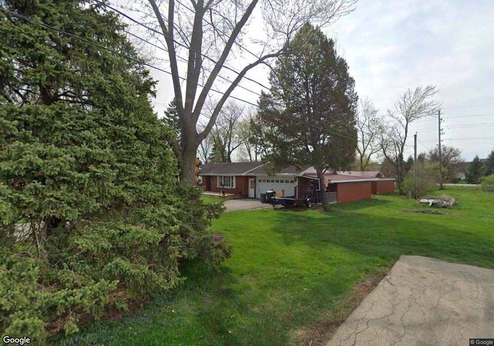
39W301 Lyndale Rd Aurora, IL 60506
Estimated Value: $286,430 - $363,000
3
Beds
--
Bath
1,075
Sq Ft
$312/Sq Ft
Est. Value
About This Home
This home is located at 39W301 Lyndale Rd, Aurora, IL 60506 and is currently estimated at $335,358, approximately $311 per square foot. 39W301 Lyndale Rd is a home located in Kane County with nearby schools including Kaneland Mcdole Elementary School, Harter Middle School, and Kaneland High School.
Ownership History
Date
Name
Owned For
Owner Type
Purchase Details
Closed on
May 24, 2007
Sold by
Fehrenbach Friedrich and Fehrenbach Sieglinde
Bought by
Gorse James J
Current Estimated Value
Home Financials for this Owner
Home Financials are based on the most recent Mortgage that was taken out on this home.
Original Mortgage
$102,500
Outstanding Balance
$62,484
Interest Rate
6.21%
Mortgage Type
Purchase Money Mortgage
Estimated Equity
$272,874
Create a Home Valuation Report for This Property
The Home Valuation Report is an in-depth analysis detailing your home's value as well as a comparison with similar homes in the area
Home Values in the Area
Average Home Value in this Area
Purchase History
| Date | Buyer | Sale Price | Title Company |
|---|---|---|---|
| Gorse James J | $202,500 | Multiple |
Source: Public Records
Mortgage History
| Date | Status | Borrower | Loan Amount |
|---|---|---|---|
| Open | Gorse James J | $102,500 |
Source: Public Records
Tax History
| Year | Tax Paid | Tax Assessment Tax Assessment Total Assessment is a certain percentage of the fair market value that is determined by local assessors to be the total taxable value of land and additions on the property. | Land | Improvement |
|---|---|---|---|---|
| 2024 | $6,708 | $91,472 | $29,974 | $61,498 |
| 2023 | $6,452 | $82,497 | $27,033 | $55,464 |
| 2022 | $6,245 | $76,161 | $24,957 | $51,204 |
| 2021 | $6,007 | $72,479 | $23,750 | $48,729 |
| 2020 | $5,919 | $70,932 | $23,243 | $47,689 |
| 2019 | $5,826 | $68,613 | $22,483 | $46,130 |
| 2018 | $5,752 | $66,295 | $22,612 | $43,683 |
| 2017 | $5,566 | $63,313 | $21,595 | $41,718 |
| 2016 | $5,424 | $60,523 | $20,643 | $39,880 |
| 2015 | -- | $56,311 | $19,206 | $37,105 |
| 2014 | -- | $53,845 | $18,365 | $35,480 |
| 2013 | -- | $54,411 | $18,558 | $35,853 |
Source: Public Records
Map
Nearby Homes
- 2031 Matthew Dr Unit 1
- 2468 Roxbury Ln
- 2492 Concord Ct
- 19 Pasadena Dr
- 319 Grape Vine Trail
- 2418 Montclair Ln Unit 7
- 2091 Jericho Rd
- 2101 Chad Ln
- 1709 Wick Way
- 2978 Fairfield Way
- 4476 E Millbrook Cir
- 1 Highway 30
- 1836 Ness Way Unit DAY
- 3014 Shetland Ln
- 424 Grape Vine Trail
- 2785 Gains Ct
- 2263 Gallant Fox Cir Unit 2302
- 2021 Radcliffe Dr
- 925 Lindenwood Dr Unit 1
- 3051 Patterson Rd
- 9S945 Lyndale Rd
- 9S945 Lyndale Rd
- 2058 Kate Dr
- 2060 Kate Dr
- 1760 Lyndale Rd
- 2062 Kate Dr
- 2056 Kate Dr
- 2064 Kate Dr
- 2054 Kate Dr
- 2066 Kate Dr
- 1750 Lyndale Rd
- 2038 Kate Ct
- 9S966 Blackberry Rd
- 2068 Kate Dr
- 2052 Kate Dr
- 1735 Lyndale Rd
- 2036 Kate Ct
- 9S938 Blackberry Rd
- 2630 Bluegrass-Lyndale
- 1751 Blackberry Rd
Your Personal Tour Guide
Ask me questions while you tour the home.