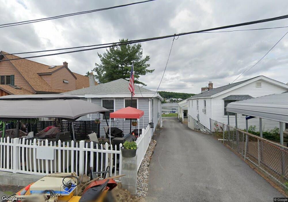
3A Ek Ct Unit 3A Shrewsbury, MA 01545
Grafton Hill NeighborhoodEstimated Value: $332,626 - $444,000
3
Beds
1
Bath
1,190
Sq Ft
$322/Sq Ft
Est. Value
About This Home
This home is located at 3A Ek Ct Unit 3A, Shrewsbury, MA 01545 and is currently estimated at $382,657, approximately $321 per square foot. 3A Ek Ct Unit 3A is a home located in Worcester County with nearby schools including Calvin Coolidge Elementary School, Sherwood Middle School, and Oak Middle School.
Ownership History
Date
Name
Owned For
Owner Type
Purchase Details
Closed on
Mar 4, 2016
Sold by
Cole Melissa
Bought by
Muntz Edgar R
Current Estimated Value
Home Financials for this Owner
Home Financials are based on the most recent Mortgage that was taken out on this home.
Original Mortgage
$120,000
Outstanding Balance
$95,225
Interest Rate
3.81%
Mortgage Type
New Conventional
Estimated Equity
$287,432
Purchase Details
Closed on
Jan 14, 1999
Sold by
Myles Kim A and Luthman Gloria I
Bought by
Muntz Edgar R and Muntz Maureen
Home Financials for this Owner
Home Financials are based on the most recent Mortgage that was taken out on this home.
Original Mortgage
$73,200
Interest Rate
6.7%
Mortgage Type
Purchase Money Mortgage
Purchase Details
Closed on
Mar 4, 1991
Sold by
Kendall Ellis D and Kendall Roselda Y
Bought by
Myles Kim A and Luthman Gloria I
Create a Home Valuation Report for This Property
The Home Valuation Report is an in-depth analysis detailing your home's value as well as a comparison with similar homes in the area
Home Values in the Area
Average Home Value in this Area
Purchase History
| Date | Buyer | Sale Price | Title Company |
|---|---|---|---|
| Muntz Edgar R | -- | -- | |
| Muntz Edgar R | -- | -- | |
| Muntz Edgar R | -- | -- | |
| Cole Melissa | $169,000 | -- | |
| Muntz Edgar R | $91,500 | -- | |
| Muntz Edgar R | $91,500 | -- | |
| Myles Kim A | $78,000 | -- | |
| Myles Kim A | $78,000 | -- |
Source: Public Records
Mortgage History
| Date | Status | Borrower | Loan Amount |
|---|---|---|---|
| Open | Cole Melissa | $120,000 | |
| Closed | Muntz Edgar R | $120,000 | |
| Previous Owner | Myles Kim A | $73,200 |
Source: Public Records
Tax History
| Year | Tax Paid | Tax Assessment Tax Assessment Total Assessment is a certain percentage of the fair market value that is determined by local assessors to be the total taxable value of land and additions on the property. | Land | Improvement |
|---|---|---|---|---|
| 2025 | $3,941 | $327,300 | $0 | $327,300 |
| 2024 | $3,765 | $304,100 | $0 | $304,100 |
| 2023 | $3,769 | $287,300 | $0 | $287,300 |
| 2022 | $3,664 | $259,700 | $0 | $259,700 |
| 2021 | $3,352 | $254,100 | $0 | $254,100 |
| 2020 | $1,354 | $108,600 | $0 | $108,600 |
| 2019 | $2,948 | $234,500 | $0 | $234,500 |
| 2018 | $2,655 | $209,700 | $0 | $209,700 |
| 2017 | $2,465 | $192,100 | $0 | $192,100 |
| 2016 | $2,044 | $157,200 | $0 | $157,200 |
| 2015 | $2,075 | $157,200 | $0 | $157,200 |
Source: Public Records
Map
Nearby Homes
- 621 Sunderland Rd
- 2 Salisbury St
- 5 Pineland Ave
- 469 Lake Ave
- 33 Lakeside Dr
- 36 Canna Dr
- 13 Pocasset St
- 411B Lake Ave
- 1257 Grafton St
- 16 Flint Pond Rd
- 1260 Grafton St
- 53 Pointe Rok Dr Unit 53
- 93 Oakwood Ln
- 22 Wildwood Rd
- 330 Sunderland Rd Unit 80
- 31 Blithewood Ave Unit 701
- 31 Blithewood Ave Unit 1201
- 19 Marion Ave
- 15 Blithewood Ave
- 76 Valmor St
Your Personal Tour Guide
Ask me questions while you tour the home.