3N452 Francis Rd Maple Park, IL 60151
Estimated Value: $620,000 - $962,000
3
Beds
--
Bath
1,976
Sq Ft
$377/Sq Ft
Est. Value
About This Home
This home is located at 3N452 Francis Rd, Maple Park, IL 60151 and is currently estimated at $744,551, approximately $376 per square foot. 3N452 Francis Rd is a home with nearby schools including Kaneland John Stewart Elementary School, Harter Middle School, and Kaneland Senior High School.
Ownership History
Date
Name
Owned For
Owner Type
Purchase Details
Closed on
Dec 14, 2012
Sold by
Schaefer Steven R
Bought by
Schmid Leahy Heidi and The Heidi Schmid Leahy Trust
Current Estimated Value
Purchase Details
Closed on
Nov 13, 2012
Sold by
Anderson India B
Bought by
Schaefer Steven R
Purchase Details
Closed on
Apr 28, 2003
Sold by
Chagares Dean and Chagares Maribeth
Bought by
Schaefer Steven R and Anderson India B
Home Financials for this Owner
Home Financials are based on the most recent Mortgage that was taken out on this home.
Original Mortgage
$207,000
Interest Rate
5.4%
Mortgage Type
Purchase Money Mortgage
Create a Home Valuation Report for This Property
The Home Valuation Report is an in-depth analysis detailing your home's value as well as a comparison with similar homes in the area
Home Values in the Area
Average Home Value in this Area
Purchase History
| Date | Buyer | Sale Price | Title Company |
|---|---|---|---|
| Schmid Leahy Heidi | $350,000 | Chicago Title Insurance Comp | |
| Schaefer Steven R | -- | Chicago Title Insurance Comp | |
| Schaefer Steven R | $347,000 | Chicago Title Insurance Comp |
Source: Public Records
Mortgage History
| Date | Status | Borrower | Loan Amount |
|---|---|---|---|
| Previous Owner | Schaefer Steven R | $207,000 |
Source: Public Records
Tax History Compared to Growth
Tax History
| Year | Tax Paid | Tax Assessment Tax Assessment Total Assessment is a certain percentage of the fair market value that is determined by local assessors to be the total taxable value of land and additions on the property. | Land | Improvement |
|---|---|---|---|---|
| 2024 | $16,197 | $203,670 | $34,279 | $169,391 |
| 2023 | $17,674 | $207,367 | $31,832 | $175,535 |
| 2022 | $16,987 | $192,228 | $29,498 | $162,730 |
| 2021 | $16,339 | $182,486 | $27,985 | $154,501 |
| 2020 | $15,692 | $176,057 | $26,981 | $149,076 |
| 2019 | $15,358 | $169,017 | $25,885 | $143,132 |
| 2018 | $14,822 | $159,149 | $24,362 | $134,787 |
| 2017 | $11,823 | $150,070 | $22,960 | $127,110 |
| 2016 | $12,117 | $150,592 | $21,547 | $129,045 |
| 2015 | -- | $145,681 | $20,264 | $125,417 |
| 2014 | -- | $141,471 | $19,670 | $121,801 |
| 2013 | -- | $82,360 | $29,368 | $52,992 |
Source: Public Records
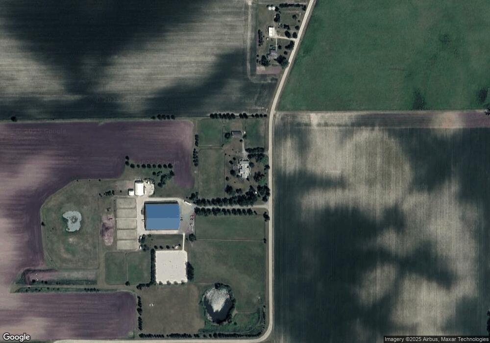
Map
Nearby Homes
- 1427 Garfield Dr
- 1120 Walker Ct
- 235 Walker Dr
- 526 N Main St
- 205 W Pierce St
- 4N621 Pathfinder Dr
- 45W251 Ic Trail
- 630 Maple Ct Unit 2
- 231 E Shannon St
- 524 Highland Dr
- 653 Downing St
- 5N460 Hanson Rd
- The Aspen - Front Load Plan at Williams Ridge
- The Halsted Plan at Williams Ridge
- The Superior Plan at Williams Ridge
- The Varner Plan at Williams Ridge
- The Williamson Plan at Williams Ridge
- The Westwood Plan at Williams Ridge
- The Lincoln Plan at Williams Ridge
- The Ontario Plan at Williams Ridge
- 3N570 Francis Rd
- 3N360 Freeland Rd
- 3N901 Francis Rd
- 46W235 Beith Rd
- 3N480 Freeland Rd
- 2N965 Francis Rd
- 2N965 Francis Rd
- 3N204 Freeland Rd
- 3N112 Freeland Rd
- 3N481 Freeland Rd
- 44W627 Il Route 38
- 3N098 Freeland Rd
- 3N545 Freeland Rd
- 0000 Freeland Rd
- 3N445 Freeland Rd
- 44W180 Beith Rd
- 3N325 Freeland Rd
- 45W825 Beith Rd
- 45W705 Beith Rd
- 45W725 Beith Rd