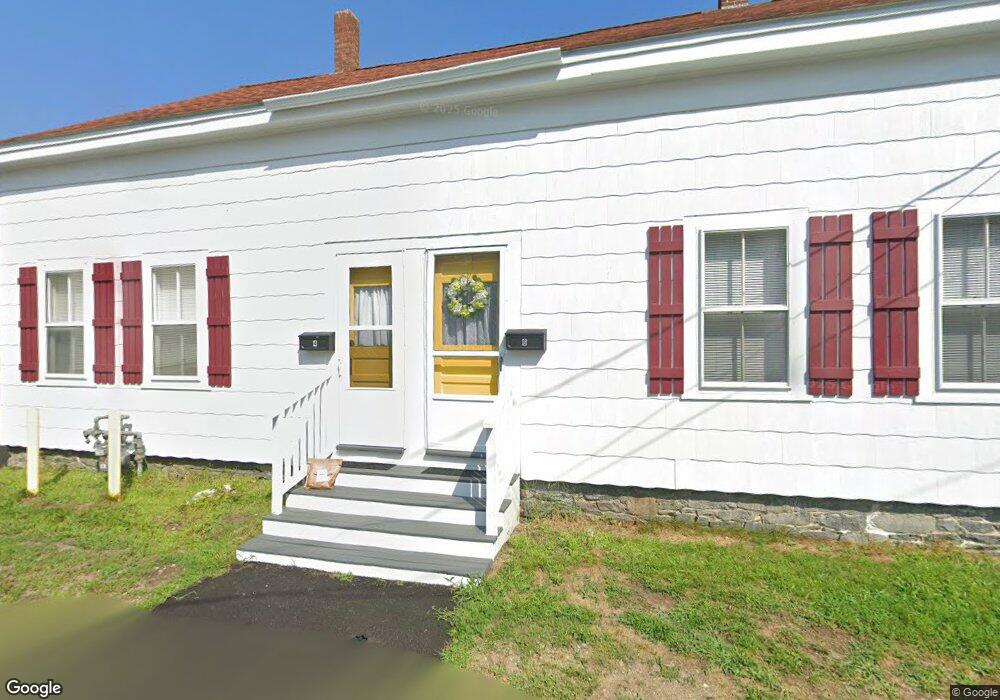
4 1st Ave Taunton, MA 02780
Whittenton NeighborhoodEstimated Value: $377,000 - $561,000
4
Beds
2
Baths
1,800
Sq Ft
$257/Sq Ft
Est. Value
About This Home
This home is located at 4 1st Ave, Taunton, MA 02780 and is currently estimated at $461,915, approximately $256 per square foot. 4 1st Ave is a home located in Bristol County with nearby schools including Benjamin Friedman Middle School, Joseph C. Chamberlain Elementary School, and Taunton High School.
Ownership History
Date
Name
Owned For
Owner Type
Purchase Details
Closed on
Dec 31, 2004
Sold by
Pinheiro Thomas S and Pinheiro Natalie S
Bought by
Pinheiro Ronald T
Current Estimated Value
Purchase Details
Closed on
Dec 28, 2004
Sold by
Pinheiro Ronald T and Pinheiro Natalie S
Bought by
Pinheiro Ronald T
Purchase Details
Closed on
Feb 1, 1996
Sold by
Pinheiro Natalie S and Wojcik Frank S
Bought by
Pinheiro Natalie S and Pinheidro Ronald T
Create a Home Valuation Report for This Property
The Home Valuation Report is an in-depth analysis detailing your home's value as well as a comparison with similar homes in the area
Home Values in the Area
Average Home Value in this Area
Purchase History
| Date | Buyer | Sale Price | Title Company |
|---|---|---|---|
| Pinheiro Ronald T | -- | -- | |
| Pinheiro Ronald T | -- | -- | |
| Pinheiro Ronald T | -- | -- | |
| Pinheiro Natalie S | $60,000 | -- |
Source: Public Records
Tax History Compared to Growth
Tax History
| Year | Tax Paid | Tax Assessment Tax Assessment Total Assessment is a certain percentage of the fair market value that is determined by local assessors to be the total taxable value of land and additions on the property. | Land | Improvement |
|---|---|---|---|---|
| 2025 | $3,950 | $361,100 | $96,100 | $265,000 |
| 2024 | $3,603 | $322,000 | $96,100 | $225,900 |
| 2023 | $3,403 | $282,400 | $96,100 | $186,300 |
| 2022 | $3,070 | $232,900 | $80,100 | $152,800 |
| 2021 | $2,982 | $210,000 | $72,800 | $137,200 |
| 2020 | $2,924 | $196,800 | $72,800 | $124,000 |
| 2019 | $5,619 | $171,600 | $72,800 | $98,800 |
| 2018 | $2,600 | $165,400 | $72,600 | $92,800 |
| 2017 | $4,897 | $153,200 | $68,800 | $84,400 |
| 2016 | $2,314 | $147,600 | $66,800 | $80,800 |
| 2015 | $2,143 | $142,800 | $67,500 | $75,300 |
| 2014 | $2,022 | $138,400 | $64,700 | $73,700 |
Source: Public Records
Map
Nearby Homes
- 426 Whittenton St
- 0 Whittenton St
- 3 4th Ave
- 3 4th Ave Unit 1
- 82 Sunset Dr
- 208 Whittenton St
- 214 Eldridge St
- 358 Washington St
- 96 Danforth St Unit 25
- 110 Eldridge St Unit B
- 22 Garfield St
- 43 Avon St
- 0 Montclair Ave Unit 72130752
- 27 Monroe St
- 28 Madison St
- 15 Andrew Ave
- 12 Oxford St
- 33 Monroe St
- 750 Whittenton St Unit 523
- 750 Whittenton St Unit 922